The forest around Stoney Creek Falls presents a particular kind of navigation puzzle that doesn’t fully reveal itself until you’re actually moving through it. The waterfall itself is straightforward enough to reach – the main trail is well-established and marked – but the surrounding area has a way of complicating plans that look simple on a map. After multiple visits across different seasons, certain patterns emerge about how this landscape actually behaves and what tends to catch people off guard.
The immediate forest composition around the falls is mixed hardwood and conifer, which means the ground cover changes dramatically depending on where you step. In drier months, the forest floor is relatively stable, but after rain or during spring snowmelt, the soil becomes deceptive. What looks like solid ground often masks a layer of loose organic matter that slides underfoot. This isn’t dangerous in itself, but it does slow movement considerably and requires constant attention to foot placement. Most people underestimate how much energy this consumes over a few hours of exploration.
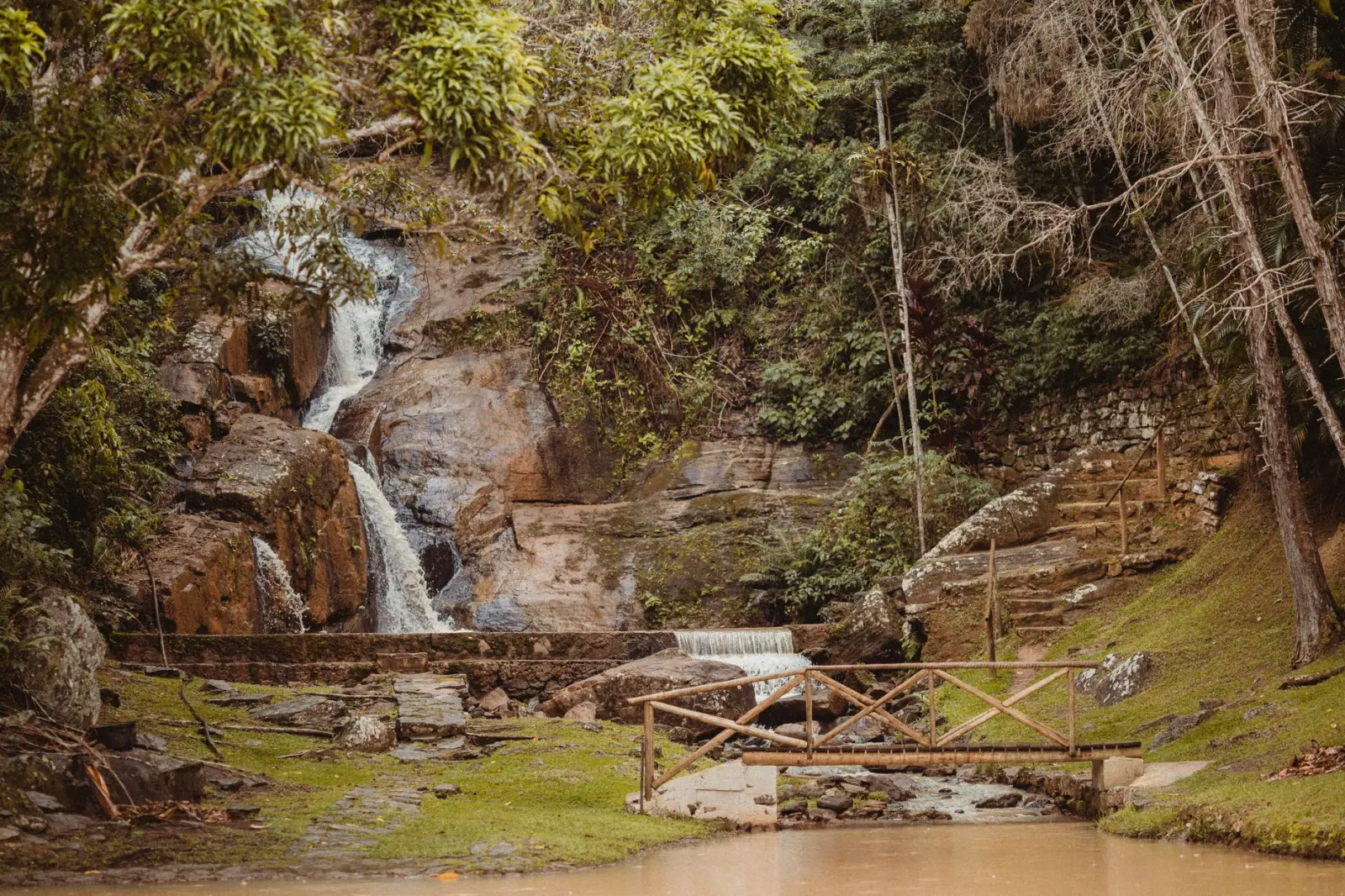
The creek itself functions as both a landmark and a barrier. Following it upstream from the falls is tempting and often productive for photography or quieter observation, but the terrain alongside the water is rarely what you’d call pleasant. Rocks are slick even when they appear dry, and the vegetation crowds in tightly. The creek’s flow varies significantly with season – in late spring it’s aggressive and loud, which actually makes navigation easier because you can’t lose your bearings. By midsummer, it’s quieter and easier to cross, but the banks become more obscured by growth. In autumn, the water level drops enough that you can move more freely, though the rocks become even more treacherous because algae buildup is at its peak.
Terrain Beyond the Main Trail
Moving away from the primary trail system requires accepting that the forest doesn’t organize itself for human convenience. The ridge systems that run perpendicular to the creek create natural corridors, but they’re not consistently passable. Some sections have old game trails that are surprisingly clear; others are choked with deadfall and understory growth. The difference often comes down to recent weather events and animal activity patterns, which shift year to year.
The elevation changes are modest – nothing that demands technical skill – but they’re frequent enough to be tiring. You’ll gain and lose a hundred feet multiple times within a mile, which means your legs feel the work more than a steady climb would. The ridge tops offer occasional openings where visibility improves, but these clearings are usually small and surrounded by dense growth on all sides. They’re useful for orientation, but they don’t provide the sweeping views that might make the effort feel worthwhile in a purely scenic sense.
Seasonal Behavior and Visibility
Spring brings water everywhere – not just the creek but seepage from the hillsides and standing water in low points. This transforms certain areas into genuine wetland conditions. The ground becomes spongy and unreliable. Insects are minimal at this season, which is a genuine advantage, but the moisture means the forest smells intensely organic and decay-focused. Visibility is excellent because the canopy hasn’t fully leafed out, which allows you to see the structure of the landscape clearly.
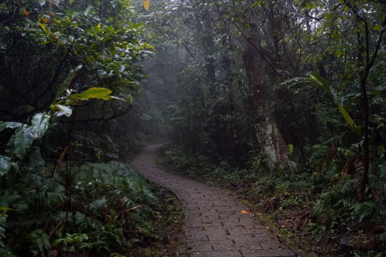
Summer changes everything. The canopy closes completely, and the forest becomes a green tunnel. Visibility drops to perhaps thirty or forty feet in most directions. The ground dries out, which is good for movement, but the heat and humidity create a different kind of fatigue. The creek becomes more approachable because the water level is manageable, but the surrounding growth is at its densest. This is also when insect pressure peaks – not just mosquitoes but biting flies that are genuinely aggressive in the afternoon.
Autumn is often considered ideal, and there’s truth to that assessment. The canopy opens as leaves drop, visibility improves, and the temperature becomes manageable. The forest floor is covered in a thick leaf layer that’s generally stable but occasionally hides obstacles – rocks, roots, and holes. The creek is at its most navigable, with lower water levels and clear visibility through the water. The main drawback is that the season is brief. The window of optimal conditions lasts perhaps four to six weeks, depending on weather patterns.
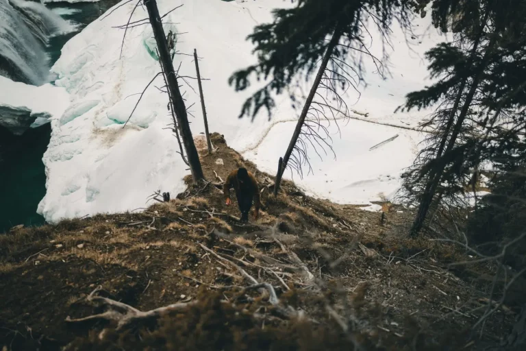
Winter transforms the entire area. Snow coverage is inconsistent – the forest canopy intercepts enough precipitation that the ground beneath is often bare or only lightly covered, while open areas hold snow. This creates a patchwork effect that makes route-finding more difficult, not easier. The creek becomes a significant obstacle because ice formation is unpredictable. Some years it freezes solid enough to cross; other years it remains open and dangerous. The cold itself isn’t the primary concern – it’s the combination of reduced visibility, unstable footing, and the creek’s altered state.
Water Crossings and Creek Navigation
The creek presents itself as a barrier more often than most people anticipate. The main falls area has established crossing points, but exploring upstream or downstream requires multiple creek interactions. The rocks are consistently slick due to algae and mineral deposits. Even in low-water conditions, a slip here results in a cold immersion that can quickly become serious if you’re far from the trailhead. Most experienced explorers carry a change of socks and shoes specifically for this reason, accepting that a crossing will happen rather than hoping to avoid it.
The water temperature rarely rises above the mid-50s Fahrenheit even in late summer. This means immersion isn’t a minor inconvenience – it’s a genuine physiological stress. The cold shock response is real, and panic is a legitimate risk for anyone not mentally prepared. Wearing appropriate footwear for water crossings rather than trying to keep your hiking boots dry is one of those lessons that most people learn through experience rather than advice.
Navigation Tools and Orientation
The forest’s layout doesn’t lend itself to intuitive navigation. The ridge systems provide some structure, and the creek is a constant reference point, but the overall terrain lacks obvious landmarks that serve as reliable waypoints. A GPS device is genuinely useful here, not because the area is dangerous, but because the landscape is repetitive enough that it’s easy to lose track of your position. This is particularly true in summer when visibility is limited. Many people who explore this area without a GPS device end up retracing their steps more often than they’d like to admit.
Maps of the area are useful but incomplete. The official trail system is well-documented, but the surrounding forest isn’t mapped with enough detail to be truly helpful for off-trail exploration. Topographic maps show the general ridge and valley structure, but they don’t capture the dense patches of growth or the specific terrain obstacles that actually slow movement. Using a map in conjunction with a GPS device provides the most practical combination – the map gives you the big picture, and the GPS keeps you oriented when the forest becomes visually confusing.
The forest around Stoney Creek Falls rewards patience and modest expectations. It’s not a landscape that reveals itself quickly or dramatically. The real value comes from repeated visits across different seasons, when you begin to understand how the terrain shifts and what conditions actually allow for comfortable exploration. The waterfall itself is the obvious destination, but the surrounding forest is where the actual learning happens – about navigation, about your own pace and limitations, and about how landscapes change in ways that aren’t visible on any map.