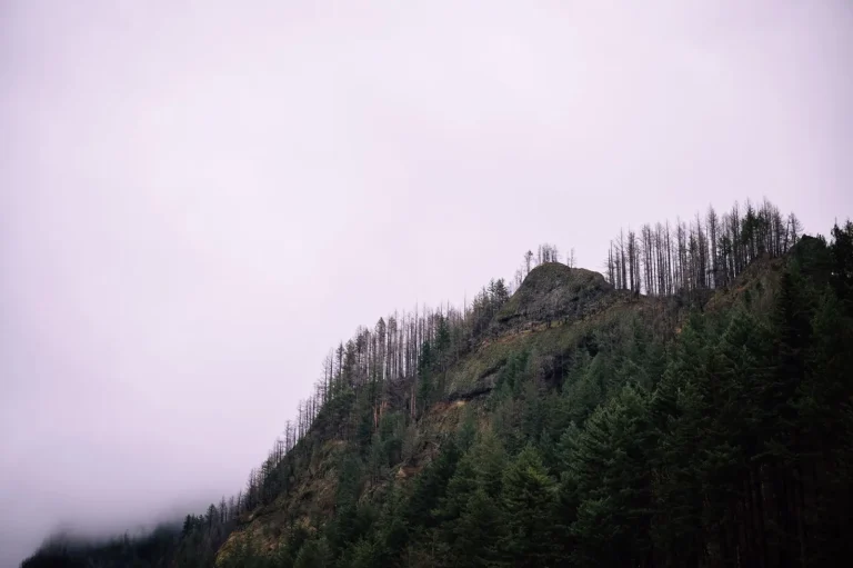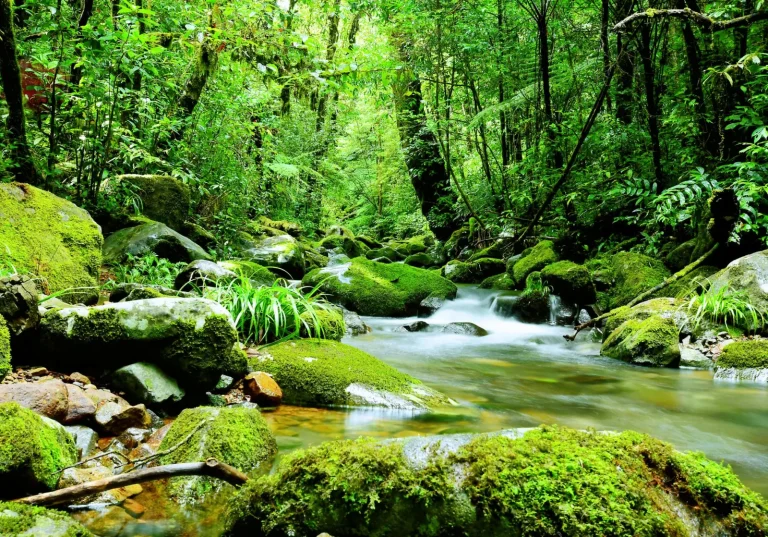

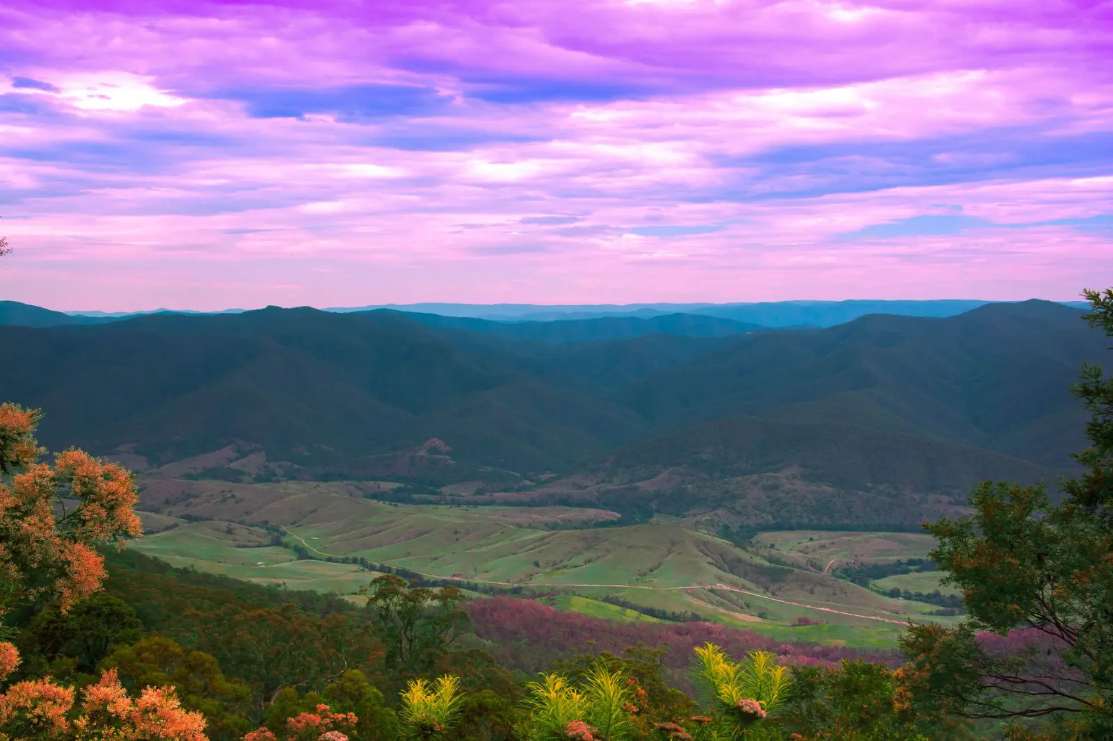
Dorrigo sits in a pocket of the New South Wales mid-north coast where rain doesn’t feel like an occasional visitor – it feels like a resident. After spending time there across different seasons, you notice the pattern immediately. The town receives roughly double the rainfall of inland areas just 50 kilometres away, and significantly more than the coastal plains below. This isn’t random. The geography of the place, combined with how weather systems move across the region, creates conditions that almost guarantee persistent moisture.
The core reason is elevation and position. Dorrigo sits on the Great Dividing Range at around 750 metres, perched on what’s effectively a wall between the coast and the inland plateau. When moisture-laden air moves inland from the Tasman Sea – which happens frequently, especially in the cooler months – it encounters this escarpment and is forced upward. As air rises, it cools. Cooler air can’t hold as much moisture, so water condenses and falls as rain. This is orographic rainfall, and it’s mechanical. The geography does the work.
What makes Dorrigo’s position particularly exposed is that it doesn’t sit on a gentle slope. The escarpment is sharp. The elevation gain from the coastal strip to Dorrigo happens over a relatively short distance, which means the air is forced up quickly and efficiently. Towns further south or north along the range experience similar effects, but Dorrigo’s specific location catches systems that are often still carrying substantial moisture from their journey across the ocean.
Seasonal patterns and system types
The rain isn’t evenly distributed through the year, though it’s never truly absent. Winter and spring bring the most consistent rainfall, driven by cold fronts that move up from the Southern Ocean. These systems are predictable in their arrival and their moisture content. They hit the escarpment, release their load, and move on. You can often see this happening – clouds build against the ridge, rain intensifies, then clears as the system passes through.
Summer brings a different character. Tropical systems occasionally push down from the north, and when they do, Dorrigo catches significant rain. The summer months also see afternoon thunderstorms develop more readily because of the local heating and the topography that encourages convection. Autumn is transitional, but still wet. The driest period is usually late spring to early summer, though “driest” is relative – it still means regular rain rather than daily downpours.
What I’ve observed is that visitors often underestimate how this translates to actual travel conditions. The high rainfall means the landscape is perpetually green, which is visually striking, but it also means roads can be slick, visibility in heavy rain reduces quickly, and certain routes become problematic during intense falls. The local road network has adapted to this – drainage is generally well-maintained – but the underlying reality remains: this is a wet place, and planning around that is practical necessity, not pessimism.
Comparison to nearby regions
The contrast becomes obvious when you move away from Dorrigo. Head inland toward Armidale or Tamworth, and the rainfall drops noticeably. The air that has already released its moisture over Dorrigo and the escarpment arrives drier. Head down to the coast at Coffs Harbour or Bellingen, and while those areas receive substantial rain too, it’s distributed differently – more influenced by coastal weather patterns than by the simple mechanical forcing that Dorrigo experiences.
Grafton, which is further south and slightly lower in elevation, receives less annual rainfall than Dorrigo despite being closer to the ocean. This isn’t coincidence. Dorrigo’s elevation and the angle at which it intercepts moisture-bearing systems make it wetter than towns that might seem better positioned for coastal influence. Local knowledge matters here. People who have lived in the region for years understand which routes stay passable, which areas flood more easily, and how to read the sky for incoming systems.
What this means for movement and timing
From a practical standpoint, the high rainfall affects how you move through and around Dorrigo. The town itself has good infrastructure, but secondary roads can deteriorate quickly after heavy falls. The surrounding forest – which is lush partly because of all that rain – can become slippery and hazardous. Visibility in rain is reduced more sharply than you might expect when you’re driving through dense vegetation.
Timing matters more here than in drier regions. A journey that takes two hours in clear conditions might take three in heavy rain, not just because of speed reduction but because of the need to navigate carefully through reduced visibility and potentially compromised road surfaces. The local weather forecast isn’t optional information – it’s operational data. Checking conditions before leaving town or planning a route isn’t being cautious; it’s being realistic about what the environment demands.
The persistent moisture also means that even on days without active rainfall, humidity is high. Fog can form quickly, especially in early morning or late afternoon. This affects visibility for driving and can make navigation more challenging if you’re relying on landmarks. The lush vegetation that makes Dorrigo visually appealing is a direct result of this climate, but it also means the landscape can feel enclosed and visibility-limiting during certain weather conditions.
Understanding why Dorrigo is so wet – the escarpment, the moisture systems, the elevation – helps explain why the place looks and feels the way it does. It’s not just a matter of rainfall statistics. It’s about how geography and meteorology interact to create a specific environment that shapes everything from vegetation to road conditions to the rhythm of daily life. When you’re planning time in or around Dorrigo, that understanding translates directly into better decisions about timing, route selection, and what to expect.