The rainforests along Australia’s Great Dividing Range occupy a peculiar position in the country’s geography. They sit high enough to catch moisture-laden winds from the coast, yet isolated enough that their ecology diverges sharply from lowland tropical systems. After spending considerable time moving through these landscapes – from the Daintree in the north down through the subtropical pockets of Queensland and northern New South Wales – I’ve come to understand that these forests demand a different approach than most visitors anticipate.
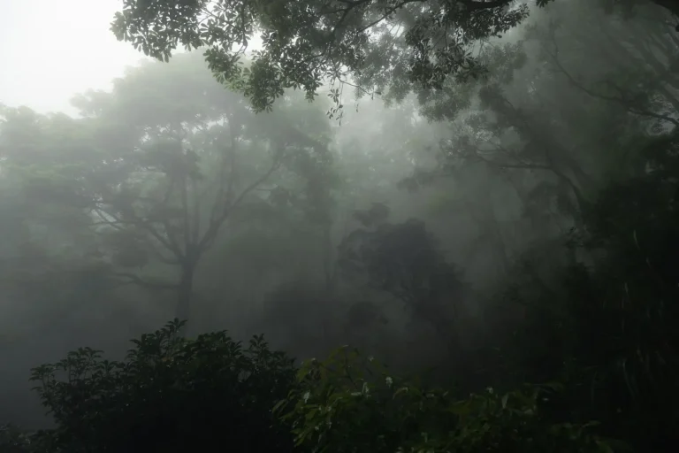
What strikes you first is the density. Unlike the open eucalypt woodlands that dominate much of inland Australia, rainforest here creates a genuinely enclosed world. The canopy closes overhead within metres of the walking track. Light becomes negotiable rather than abundant. This isn’t the dramatic, cathedral-like rainforest of tropical lowlands. It’s tighter, more claustrophobic in a way that some travelers find unsettling. The air sits heavier, moisture clings to everything, and the sense of scale collapses. You lose sight of horizons. You lose the ability to navigate by distant landmarks.
Elevation and Its Practical Effects
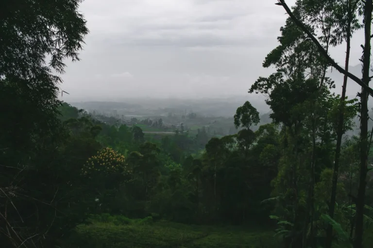
The Great Dividing Range pushes these forests upward, and elevation changes the experience more than most guidebooks acknowledge. Walking at 600 metres versus 1200 metres produces noticeably different conditions. Higher elevations bring cooler temperatures, which sounds pleasant until you realize it means the forest floor stays perpetually damp. Moss grows thicker. Exposed roots become slicker. What looks like solid ground often isn’t. I’ve watched experienced hikers lose their footing on what appeared to be a straightforward section of track, simply because moisture had transformed the surface into something closer to ice than earth.
The elevation also affects how quickly fatigue sets in. Even moderate slopes feel steeper when the ground is unstable and your boots are constantly seeking purchase on wet, root-tangled terrain. A 10-kilometre walk that would take two hours on dry ground can stretch to three or four hours here. This matters for planning. Many visitors underestimate the time required and find themselves hiking in fading light, which in rainforest means near-total darkness well before sunset.
Water, Weather, and Timing
Rainfall in these ranges is substantial and unpredictable. The escarpment forces air upward, cooling it, and moisture condenses. You can leave a town in clear conditions and encounter mist and rain within 20 minutes of gaining elevation. This isn’t the dramatic downpour of tropical lowlands. It’s persistent, fine rain that soaks through most conventional rain jackets within an hour. It also reduces visibility to 20 or 30 metres, which transforms navigation from straightforward to genuinely challenging.
The best times to visit are typically late autumn through early spring – April to September in the southern hemisphere. This period brings lower humidity and less active rainfall, though “less” is relative. Even in the driest months, the forest floor remains saturated. The advantage is that afternoon thunderstorms become less frequent, and the cooler temperatures mean less energy expenditure on heat management. Summer visits are possible but require early starts and acceptance that you’ll be damp from exertion and moisture rather than actual rain.
Isolation and Navigation Reality
These rainforests are genuinely remote in ways that surprise people accustomed to more accessible trails. Mobile coverage is sporadic at best. GPS devices can struggle with canopy interference. The forest floor is so densely vegetated that leaving the marked track is genuinely disorienting. I’ve encountered hikers who stepped off the main path for what they thought was a short detour and spent 45 minutes reorienting themselves. The vegetation looks identical in all directions. There are no distant landmarks to triangulate from. Sound behaves strangely in dense forest – it doesn’t carry far, so calling for help or hearing responses becomes unreliable.
This means that solo hiking, while not impossible, carries real risk. Most experienced walkers I know who regularly traverse these areas do so in pairs at minimum. Navigation aids matter. A physical map and compass are more reliable than electronic devices in these conditions. Knowing the track’s general direction and being able to recognize subtle markers – blazes on trees, cleared sections of path, changes in ground composition – becomes essential.
Flora, Fauna, and What You’ll Actually Encounter
The biodiversity is genuine, but it’s not the kind that announces itself. You won’t see much wildlife during the day. Most animals here are either nocturnal or crepuscular, and they’re far more interested in avoiding humans than in being observed. You might hear birds – the calls can be extraordinary – but seeing them requires patience and stillness that most visitors don’t bring to their walks.
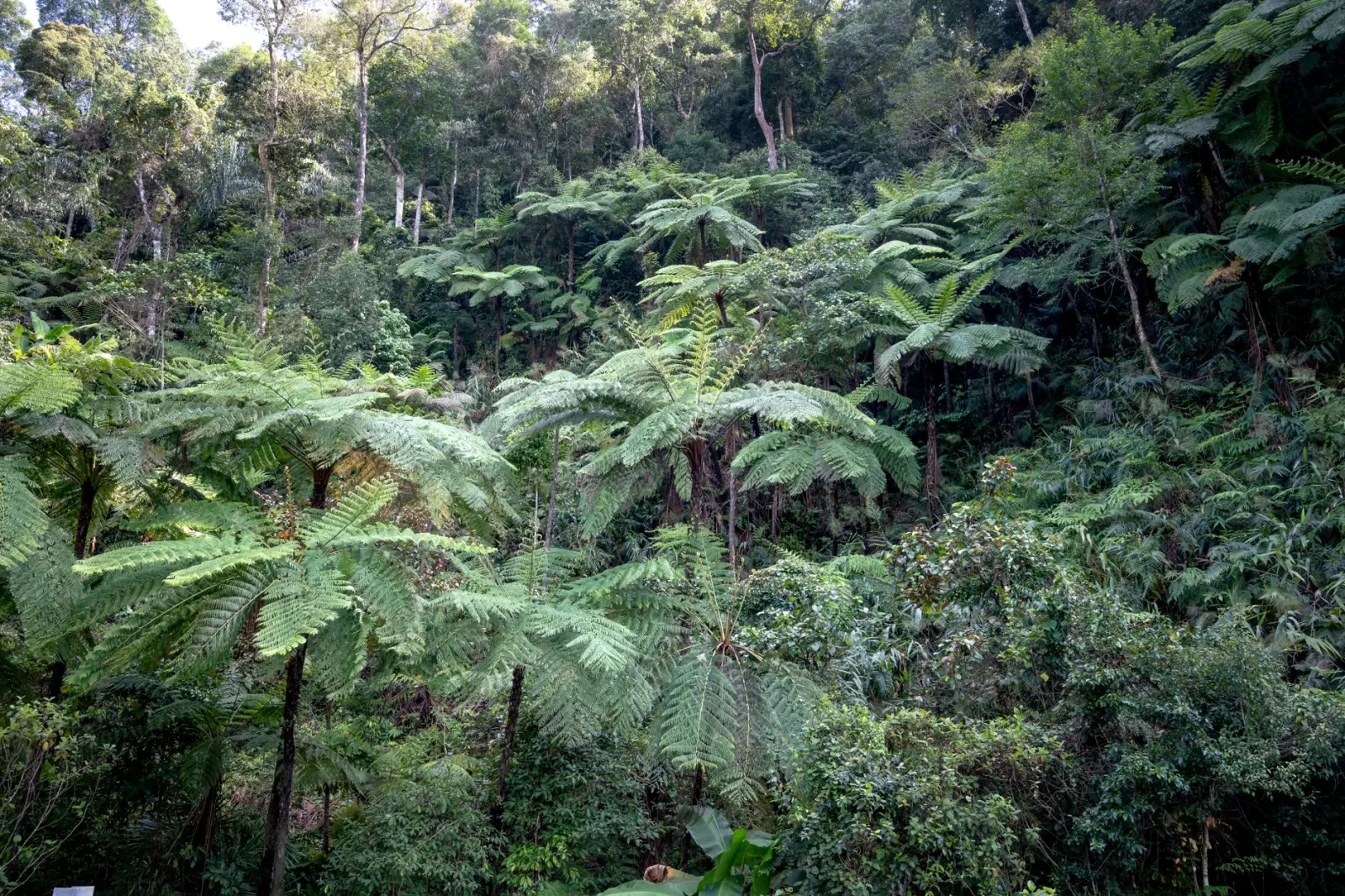
The plant life is more immediately present. Ancient tree species, ferns that look prehistoric, vines that seem to have their own agenda. The scale of individual trees can be impressive, though rarely in the way tropical lowland rainforests are. These are older, more established systems, and they’ve had centuries to develop complexity. Orchids appear in season. Fungi proliferate in the damp. Moss covers everything that stays still long enough. It’s beautiful in a way that requires you to slow down and actually look rather than move through and photograph.
Leeches are present in wetter areas and seasons. They’re more of an inconvenience than a genuine threat – they don’t carry disease, they’re not aggressive – but their presence is notable. Insect repellent helps somewhat. Tucking pants into socks is the reliable method, though it looks ridiculous. Most experienced walkers simply accept that they’ll find a leech or two and remove them afterward.
Access and Practical Logistics
Getting to these rainforests usually means driving to a trailhead and parking in a small lot. Many of the best walks start from towns like Lamington, Springbrook, or various points along the Atherton Tablelands. Accommodation ranges from basic camping to lodge-style options. The infrastructure is modest compared to more popular destinations. Cafes and supply shops exist but aren’t abundant. This means planning ahead – bringing enough water, food, and supplies rather than assuming you can resupply mid-walk.
The walks themselves vary considerably. Some are short loop tracks of 3 or 4 kilometres suitable for families. Others are full-day or multi-day treks requiring genuine fitness and experience. The distinction matters. A short, well-maintained loop track in a rainforest is manageable for most people. A longer trek into the higher elevations where the forest becomes denser and the track less obvious is a different proposition entirely.
Weather can close access suddenly. Heavy rain can make tracks genuinely dangerous, particularly on steep sections where water runoff creates small streams across the path. Parks services sometimes close areas, and these closures are worth respecting. They’re based on real risk assessment, not overcaution. I’ve seen what happens when people ignore closure notices – it’s rarely catastrophic, but it’s often uncomfortable and occasionally requires rescue assistance.
The rainforests along the Great Dividing Range offer something genuinely distinct from other Australian landscapes. They’re not the most dramatic or the most accessible, but they’re among the most complex and rewarding for those willing to adjust expectations and move slowly enough to actually perceive what’s happening around them. The key is understanding that these aren’t destinations to rush through or photograph from a distance. They demand engagement with conditions as they actually are – wet, enclosed, slow-moving, and fundamentally uninterested in human convenience.