The forest around Behana Gorge sits in a particular pocket of Far North Queensland where the rainforest closes in tight and the ground stays damp most of the year. I’ve spent enough time moving through these sections to know that what looks straightforward on a map often feels quite different when you’re actually walking it. The gorge itself is a narrow cut through the landscape, and the forest around it responds to that geography in ways that affect how you move through it.
Access is the first reality check. Most people approach from the Behana Gorge Lookout, which sits at the end of a short sealed road off the Kennedy Highway. The lookout itself offers a view down into the gorge, but actually getting into the forest and moving along the creek requires commitment. There’s no maintained walking track in the conventional sense. What exists is more a series of informal routes worn by repeated foot traffic, animal trails, and the natural lines water has cut over time. The main descent follows the creek itself or the banks adjacent to it, and this means you’re often dealing with scrambling over rocks, navigating around fallen timber, and reading the water level to understand where the safest passage sits.
Water and Seasonal Shifts
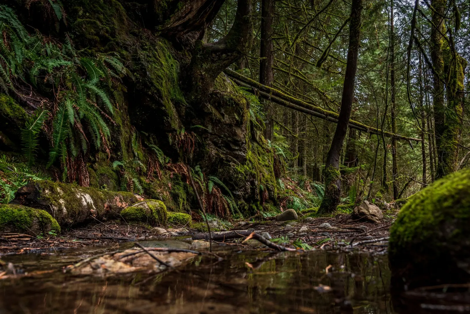
The creek is the dominant feature, and its behavior changes dramatically with rainfall. During the dry season, which runs roughly from May through September, the water level drops significantly. Pools form in deeper sections, and the rocks become more exposed and navigable. This is when most people attempt the walk. The problem is that “dry season” doesn’t mean dry. The rainforest here receives consistent moisture from mist and seepage even when there’s no active rain. The rocks stay slick. Algae grows on them. Your footing is never truly secure, and I’ve seen people slip on what they thought was solid stone.
Move through here after heavy rain, and the creek becomes a different proposition entirely. Water volume increases rapidly, and the gorge narrows the flow into something powerful. I’ve watched the water level rise a meter or more within a few hours of sustained rainfall. The informal routes that worked in dry conditions become impassable. Scrambling becomes genuinely dangerous. The timing of your visit matters more than most walkers realize when they’re planning a trip.
The Forest Itself
The vegetation density varies considerably depending on where you are. Near the creek, the forest opens slightly. Sunlight reaches the ground in patches. Move away from the water toward the surrounding slopes, and the canopy closes. The understory becomes thick with lawyer vine, wait-a-while, and dense fern growth. Navigation becomes harder. The informal paths are less obvious. You start to understand why most people stick to the creek corridor.
The rainforest here is old. The trees are substantial, and the root systems have had decades to establish themselves across the walking surfaces. This creates a landscape that’s uneven and requires active attention. Your feet aren’t just dealing with rocks and water. They’re dealing with roots that catch, slopes that shift, and ground that sometimes gives way slightly under weight. Fatigue builds faster than it would on a maintained track because your body is constantly making micro-adjustments for balance and stability.
Insects are present but not the overwhelming swarm that some people expect. Leeches exist here, particularly after rain, and they’re more of a nuisance than a genuine threat. They’ll attach to exposed skin if conditions are wet enough. Mosquitoes are manageable in the open areas near the creek but can be more persistent in the dense forest sections, particularly toward dusk. The real irritation is usually the small biting flies that seem to emerge in the warmer months. Long sleeves and insect repellent are practical considerations rather than optional extras.
Time and Distance
The distance from the lookout down to the gorge itself isn’t great. Most people can cover the initial descent in twenty to thirty minutes if they move steadily. But distance is misleading in terrain like this. The actual time you spend depends heavily on how carefully you’re moving, how often you stop to assess the route ahead, and whether you’re trying to explore beyond the main creek corridor. I’ve seen people spend three hours covering ground that could theoretically be done in ninety minutes, and they weren’t moving slowly out of caution. They were moving slowly because the terrain demanded it.
The deeper sections of the gorge, where the walls close in and the creek runs through a narrow channel, are visually striking but also physically demanding to reach. The rock becomes more slippery. The passages narrow. You’re sometimes moving through the water itself rather than alongside it. This isn’t technical climbing, but it requires balance, strength, and good judgment about when to turn back.
Most people who explore this area do so as a day trip from the lookout. They descend, spend an hour or two moving along the creek and exploring accessible sections, then return to the car. This is a reasonable approach. Attempting to camp or spend extended time in the forest requires additional planning around water access, shelter from the elements, and navigation in low light. The forest doesn’t become dramatically more hostile at night, but it does become less forgiving of navigation errors.
The experience of walking this forest comes down to reading the conditions in front of you rather than following a predetermined path. The water level tells you what’s passable. The vegetation density tells you where informal routes are likely to exist. The light and weather tell you how much time you actually have before conditions shift. People who move through here successfully are the ones paying attention to these signals rather than the ones following a mental checklist of what they think they should do.