The McPherson Range sits along the Queensland-New South Wales border, and its forests operate on a logic that doesn’t always align with what visitors expect. I’ve spent enough time moving through these ranges to understand that the experience varies dramatically depending on when you go, how prepared you are for the actual conditions, and whether you’re treating the forest as a casual walk or a serious navigation challenge.
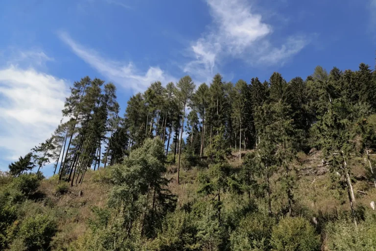
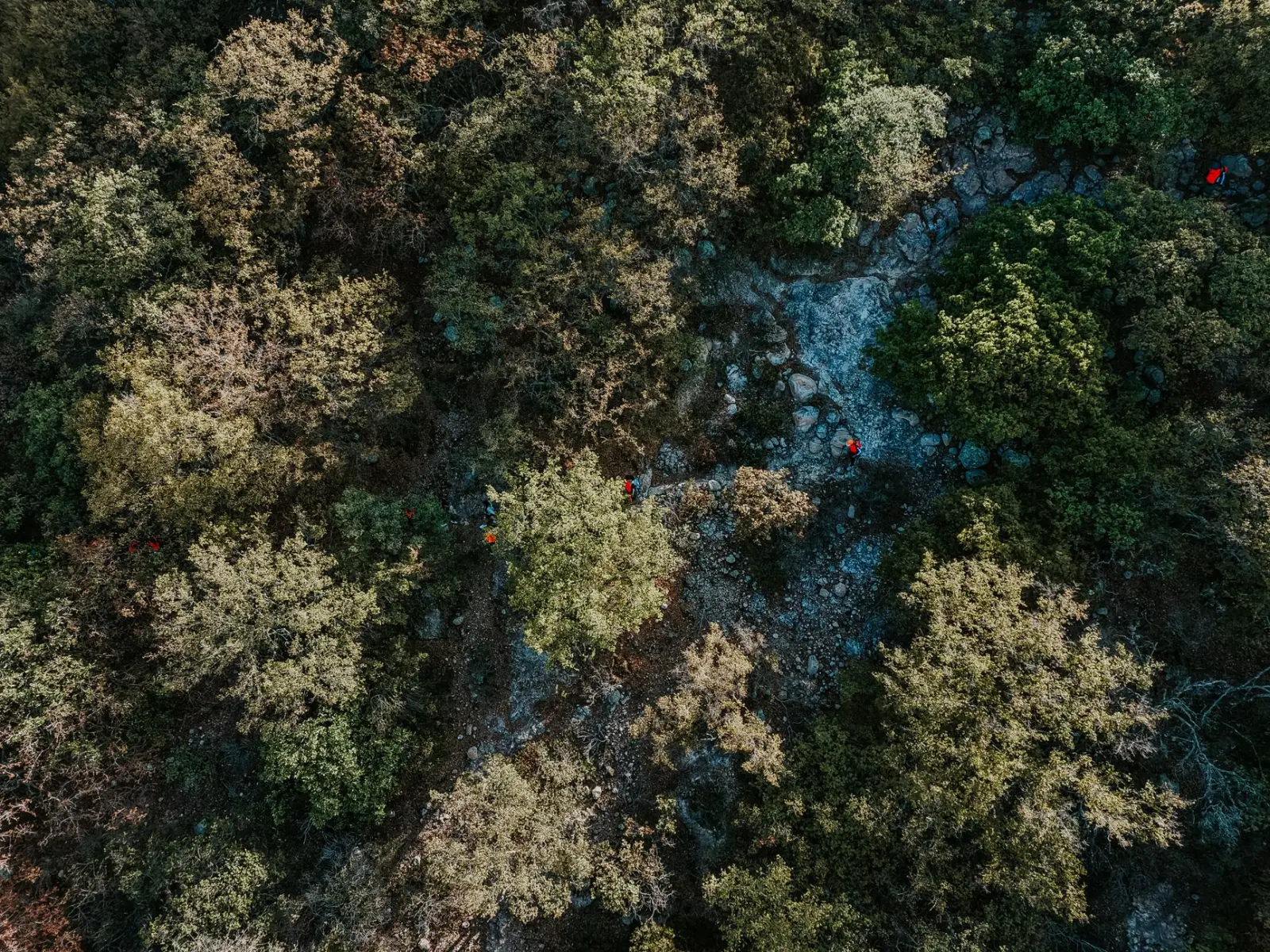
What strikes most people first is the density. The canopy here is thick enough that midday feels like late afternoon. The light comes through in scattered patches, and this affects everything from temperature regulation to your ability to navigate by sight. The understory is tangled with vines, fallen logs, and vegetation that shifts seasonally. In wet months, what was a clear path in dry season becomes a creek bed or a slippery scramble. This isn’t dramatic terrain in the alpine sense, but it’s relentless in its demands on your attention and physical effort.
Seasonal Behavior and Timing
The McPherson Range forests respond sharply to seasonal change. Summer brings humidity and afternoon thunderstorms that can develop fast. The creeks rise quickly, and visibility in cloud can drop to near nothing. Winter and spring offer more stable conditions, though “stable” is relative. I’ve done sections in what looked like perfect autumn weather only to find that overnight rain had made certain creek crossings genuinely risky.
The dry season – roughly May through September – is when most people attempt longer routes through these forests. The ground firms up, creeks are manageable, and the temperature doesn’t spike. But even then, the forest floor holds moisture in shaded areas. Your boots will get wet. This isn’t a failure of preparation; it’s the nature of the place. The forest is designed to stay damp.
Spring is interesting because the growth is vigorous. Vegetation closes in on established routes faster than you’d expect. A track that was clear in August might have regrown significantly by November. This means that routes requiring navigation by sight become harder to follow. The forest actively reclaims space.
Terrain and Movement Realities
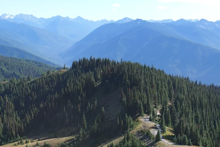
The elevation changes in the McPherson Range aren’t extreme by alpine standards, but they’re consistent and cumulative. You’re rarely walking on flat ground. The ridgelines offer better visibility and firmer footing, but they’re also more exposed to wind and weather. The valleys and gullies provide shelter and water access, but movement through them is slower because of the vegetation and creek crossings.
What many people underestimate is the energy cost of moving through dense forest. You’re not just covering distance; you’re constantly managing obstacles. A 10-kilometer walk on open terrain might take three hours. The same distance through McPherson forest, even on established tracks, often takes four to five hours. Scrambling off-track or navigating by compass through thick bush can easily double that time.
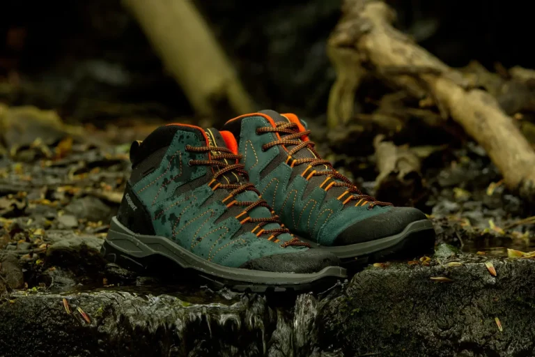
The rock is mostly sandstone and volcanic material. When wet, it becomes genuinely slippery. I’ve seen people move confidently on dry rock, then lose their footing immediately after rain. The stone doesn’t grip the way granite does. Boots with good tread are necessary, not optional.
Water and Navigation Challenges
Creeks run through most of the major valleys. In dry season, they’re crossable but require attention. In wet season, they become serious obstacles. I’ve watched a creek that was ankle-deep in the morning become thigh-deep by afternoon after upstream rain. The water temperature is cold enough that hypothermia is a real consideration if you’re wet and exposed to wind.
Navigation here relies on a combination of map reading, compass work, and track following. GPS works, but the canopy density can affect accuracy. More importantly, relying solely on GPS without map literacy has gotten people lost. The forest looks similar in many directions. A gully that seemed like a landmark becomes indistinguishable from the next gully once you’re in it. I’ve navigated these ranges enough to know that stopping regularly to confirm position on a map is essential, not paranoid.
The established tracks are generally well-marked, but the marking system assumes you’re paying attention. Blazes can be missed in poor light or when you’re fatigued. Off-track navigation requires confidence with compass and map. The forest doesn’t provide the kind of open sightlines that let you navigate by distant landmarks.
Wildlife and Practical Concerns
Snakes are present but rarely encountered if you’re moving deliberately and making noise. I’ve done dozens of days in these forests and seen snakes on maybe three occasions. They move away from vibration and sound. The real concern is that you might step near one without warning, which is why watching where you place your feet matters, especially in warmer months.
Leeches are seasonal and can be annoying in humid months. They’re not dangerous, but they’re persistent. Salt or insect repellent helps, but the best approach is to accept that you’ll have a few on your legs and remove them properly once you’re out of the forest. Trying to brush them off while you’re walking just wastes energy.
Ticks are present and worth being aware of. Check yourself carefully after time in the forest, particularly in warmer months. Proper removal is important – don’t rush it.
Practical Logistics
Access to the McPherson Range varies. Some trailheads are well-maintained and have parking. Others require navigating narrow mountain roads to reach starting points. Plan for longer drive times than the distance suggests. A trailhead that looks close on a map might involve 45 minutes of winding road.
Water availability varies by season and location. Relying on creeks for drinking water requires either carrying treatment supplies or a reliable filter. I’ve never had issues with water quality from the main creeks, but treating it is the sensible approach.
Mobile coverage is unreliable. Sections of the range have no signal. If you’re relying on communication for safety, know your coverage before you go. Satellite messengers or personal locator beacons are reasonable insurance for longer trips.
The forests of the McPherson Range reward careful preparation and realistic expectations. They’re not wilderness in the remote sense – you’re rarely far from a road or settlement – but they demand the same respect for navigation, weather, and physical demands that any serious forest travel requires. The experience changes significantly depending on season, fitness, and navigation skill. What works in May might be genuinely difficult in December. What feels straightforward in daylight becomes confusing in low light. These aren’t flaws in the forest; they’re just how it operates.