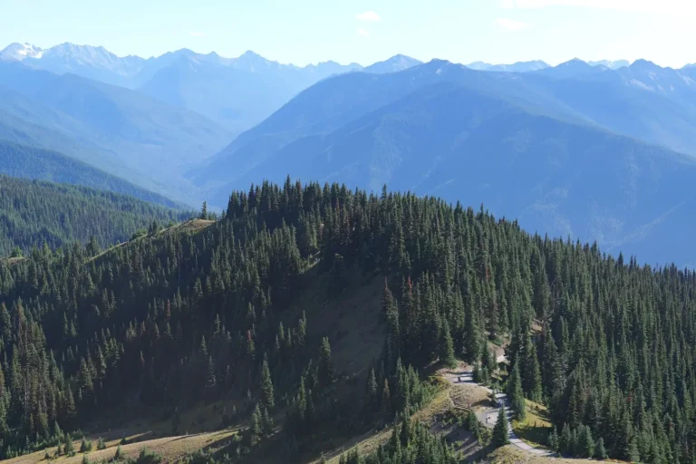
Springbrook Plateau’s forests are deceptive in their apparent simplicity. From a distance, the landscape reads as uniform woodland – dense canopy, relatively flat terrain, the kind of place you might assume requires minimal planning. After spending considerable time moving through these trails, I can tell you the reality is more textured and demanding than the initial impression suggests. The forest behaves differently depending on season, time of day, and which section of the plateau you’re traversing.
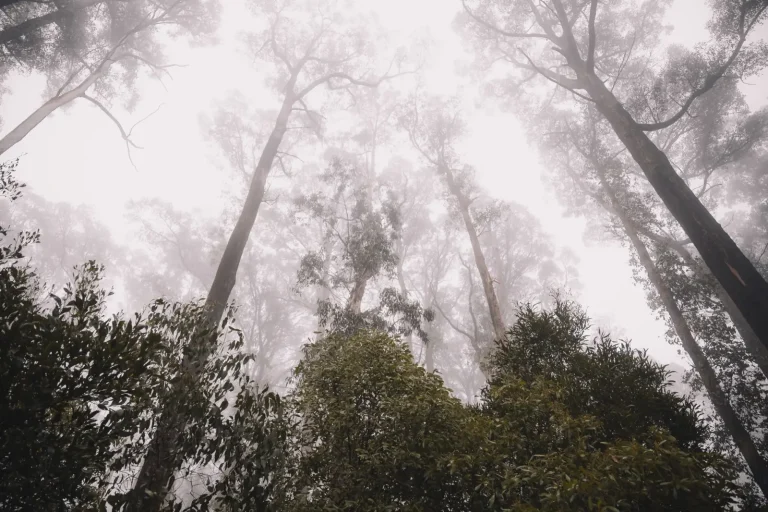
The first thing that strikes most walkers is how quickly the forest absorbs sound and light. The canopy here is thick enough that even on clear days, the understory remains dim. This affects navigation more than people anticipate. Your sense of direction, which relies partly on visual landmarks and sun position, becomes less reliable. Trails that appear straightforward on a map develop subtle variations on the ground – minor forks, areas where the path widens and narrows, sections where recent deadfall creates natural detours.
The soil composition varies across the plateau, and this matters for footing and drainage. In some areas, the forest floor is relatively stable, packed from years of foot traffic. Other sections, particularly where water naturally collects or where the canopy opens slightly, become boggy or soft underfoot. I’ve noticed that these wet patches tend to expand seasonally – barely noticeable in late summer, but genuinely treacherous in spring or after sustained rain. The plateau’s elevation means drainage is generally better than in lowland forests, but localized pooling still occurs.
Seasonal Behavior and Trail Conditions
Walking the plateau in spring brings specific challenges. The forest is actively shedding winter debris, and the ground is often saturated. Visibility improves as the canopy hasn’t fully leafed out yet, which is actually useful for navigation. However, the trails themselves can be slick, and any inclines become noticeably steeper when wet. I’ve found that spring walking requires deliberate foot placement and slower pacing than summer conditions would suggest.
Summer transforms the experience. The canopy closes completely, and the forest becomes genuinely cool – often 10 to 15 degrees cooler than surrounding open areas. This is where the plateau’s forest becomes most appealing, but it also creates a false sense of security. The dense shade masks time passing. Walkers often underestimate how far they’ve traveled or how much daylight remains. The trails dry out, which improves footing, but the reduced visibility can make route-finding more challenging if you’re not paying attention to trail markers.
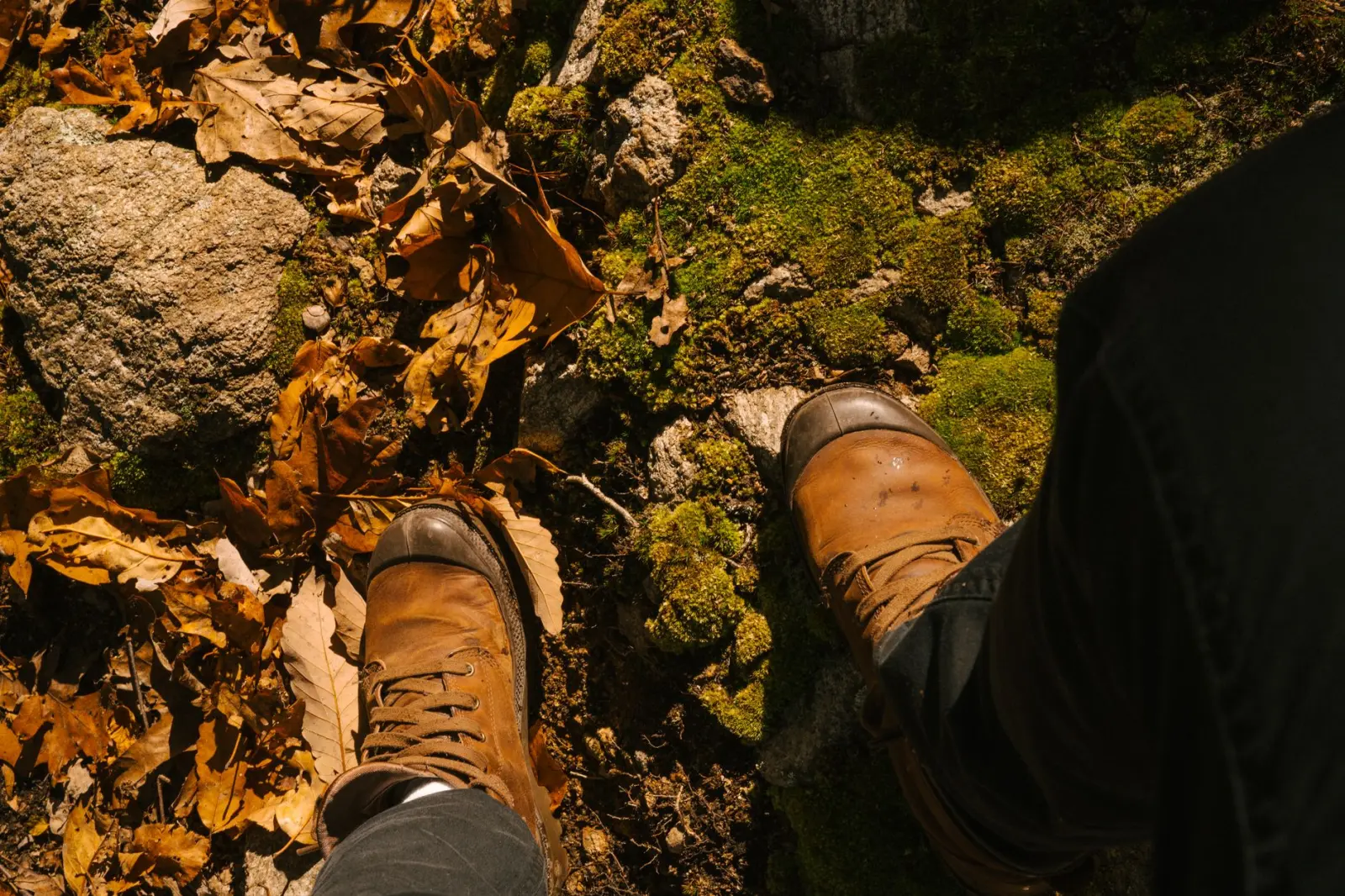
Autumn brings a different set of conditions. The canopy begins to thin, which improves sightlines, but the accumulating leaf litter obscures the actual trail surface. This is where experience matters. Experienced walkers learn to read the subtle compaction of earth beneath leaves, to notice where the ground has been worn smooth by repeated footsteps. Newcomers often lose the path entirely, particularly at junctions. The leaf cover also hides obstacles – roots, rocks, and uneven ground that would be obvious in other seasons.
Winter walking on Springbrook Plateau is possible but requires specific preparation. The forest retains moisture longer than open areas, and frost can make the trail genuinely slippery. The reduced vegetation means better visibility, which is useful, but also means colder temperatures and exposure to wind in any clearings. I’ve encountered sections where the trail becomes a narrow corridor of packed ice, particularly on north-facing slopes or areas that don’t receive direct sun.
Navigation and Orientation Challenges
The plateau’s forest canopy is dense enough that GPS accuracy becomes unreliable in some sections. The signal can fluctuate or drop entirely, which matters if you’re relying on a phone-based navigation app. Traditional map and compass work better, but only if you’ve taken time to orient yourself before entering the forest. The lack of dramatic landmarks means you can’t easily triangulate your position visually. Progress feels slow and unmarked.
Trail junctions are where most walkers encounter genuine difficulty. The plateau has several established routes, and they intersect in ways that aren’t always obvious on the ground. I’ve watched people hesitate at junctions, unsure whether they’re looking at a main trail or a minor branch. The signage is inconsistent – some junctions have clear markers, others rely on subtle trail blazes that are easy to miss if you’re moving at a normal pace. The forest floor at junctions often shows multiple paths worn by walkers, making it unclear which is the primary route.
Fatigue affects navigation more than people acknowledge. As you tire, your attention naturally narrows. You stop scanning the environment for trail markers and focus instead on the immediate ground ahead. This is precisely when you’re most likely to miss a turn or wander onto a side path. I’ve noticed that the majority of people who report getting lost on Springbrook Plateau’s trails did so in the latter half of their walk, not at the beginning when they were fresh and alert.
Physical Demands and Pacing
The plateau’s terrain is often described as “gentle” or “easy,” and this is technically true – there are no steep climbs or dramatic elevation changes. What this description misses is that gentle terrain can still be physically demanding over distance. The forest floor is uneven. Your feet are constantly making micro-adjustments for roots, rocks, and variations in ground level. This is less taxing than climbing, but it’s more tiring than walking on a smooth surface. Over three or four hours, this accumulates.
The canopy’s cooling effect can mask exertion. You don’t feel the sun’s heat, so you may underestimate how much you’re sweating or how much fluid you’re losing. The temptation to move faster than you should is real. The forest feels manageable, the pace feels sustainable, and then at some point – usually around the two-hour mark – the fatigue becomes apparent. Your legs feel heavier, your breathing becomes more labored, and the trail suddenly seems longer than expected.
Pacing on the plateau requires discipline. A realistic walking speed through the forest is slower than you’d walk on a road or cleared path. Expect to cover perhaps two miles per hour in summer conditions, potentially slower in spring or autumn when the footing is less certain. This isn’t a failure of fitness – it’s simply the reality of moving through a complex landscape where your attention is divided between navigation, footing, and maintaining balance.
What the Forest Reveals Over Time
Repeated walks through Springbrook Plateau’s forests reveal patterns that aren’t apparent on a single visit. Certain areas are consistently wetter than others. Particular junctions are consistently confusing. Some sections of trail are better maintained than others, suggesting they’re walked more frequently. The forest isn’t static – storm damage, seasonal changes, and trail erosion create a landscape that shifts gradually.
The wildlife presence is subtle. You’re unlikely to encounter large animals on established trails, but evidence of them is everywhere if you know what to look for. Deer trails branch off from the main path. Scat and browse marks indicate what’s been feeding. In early morning or late afternoon, you may hear movement in the undergrowth, though the animals themselves remain hidden. This presence is part of what makes the forest feel alive, even when you’re alone on the trail.
The plateau’s forest is ultimately a place that rewards attention. It’s not dramatically beautiful in the way mountains or coastlines are. It doesn’t offer expansive views or obvious landmarks. What it offers instead is complexity – a landscape that reveals itself gradually to those who move through it carefully and repeatedly. The walking is steady, the demands are consistent, and the experience deepens with familiarity.