The Coomera Circuit sits in that awkward middle ground where it looks manageable on paper but often catches people out in practice. It’s roughly 9 kilometres, marked as moderate, and sits within Lamington National Park in the Gold Coast hinterland. Most people can complete it in four to five hours, but the actual experience varies considerably depending on when you walk it, how prepared you are for the terrain, and what the weather has done to the track in recent weeks.
I’ve walked this circuit dozens of times over the years – sometimes solo, often with groups – and the consistency I notice is how rarely it goes exactly to plan. The track itself is well-maintained and clearly marked, which helps, but the conditions can shift dramatically between seasons. The first time someone walks it, they often underestimate the cumulative effect of the elevation changes. The circuit doesn’t climb one big hill; it rolls up and down repeatedly, which is more tiring than a single sustained climb because your legs never settle into a rhythm.
The walk starts near the Coomera Falls picnic area, and the initial section heads downhill toward the creek. This is where many people make their first mistake: they move too quickly because descending feels easy. By the time they’ve gone down 200 metres and realise they’ll have to climb back out, they’ve already burned energy they’ll need later. The track follows Coomera Creek for a stretch, and this is genuinely pleasant – the forest canopy is dense, the air feels cooler, and there’s water nearby. But this section also tends to be muddy, especially within a week or two of rain. The mud here isn’t slippery clay; it’s more like thick porridge that clings to your boots and adds weight with every step.
The Terrain and Its Peculiarities
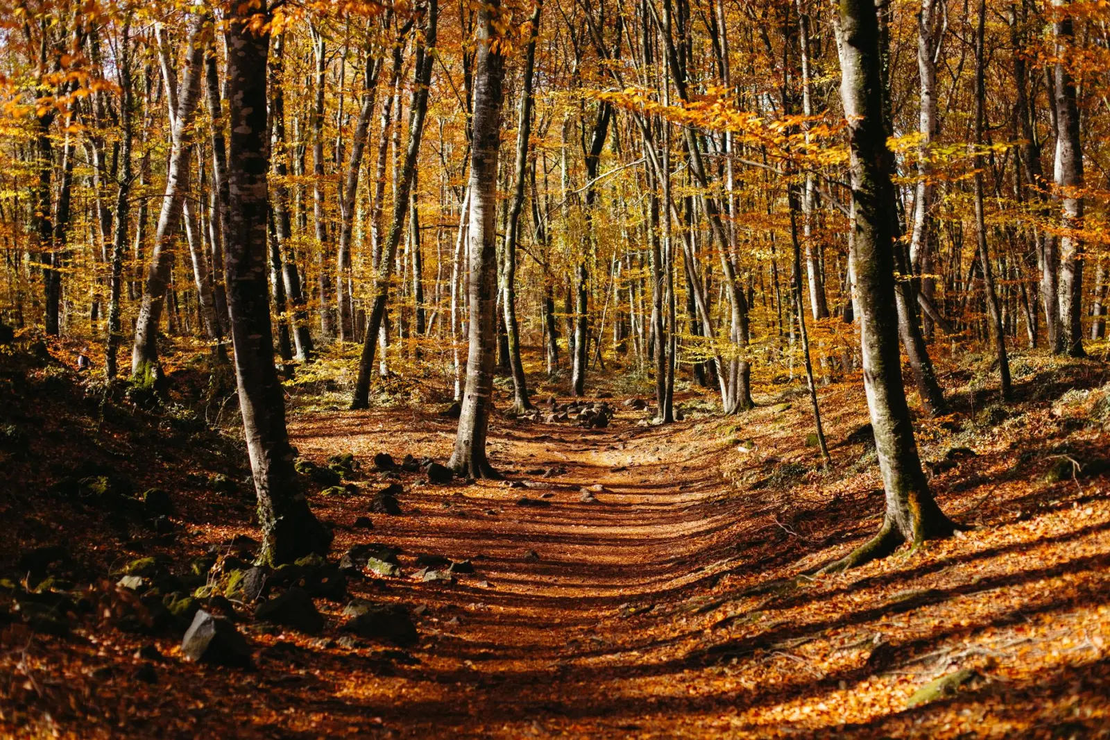
What makes the Coomera Circuit distinctive is the mix of track types. You’re not walking on consistent terrain. There are sections of well-formed gravel track, stretches of exposed tree roots that require careful foot placement, areas where the path narrows and runs between dense vegetation, and creek crossings that vary in difficulty depending on recent rainfall. In dry conditions, you might step across rocks; after heavy rain, you could be wading through water that reaches your calves.
The creek crossings themselves deserve attention. There are several points where you need to cross Coomera Creek or its tributaries. These aren’t dramatic river crossings, but they do require balance and care. I’ve seen people turn their ankles on slippery rocks, and I’ve watched walkers misjudge the depth and soak their feet. The water is cold year-round, which matters if you’re walking in cooler months and don’t have spare socks. Wearing gaiters helps keep mud and water out of your boots, but most casual walkers don’t bother, and they regret it halfway through.
The elevation profile is deceptive on maps. The circuit climbs roughly 400 metres total, but it’s distributed across multiple ups and downs rather than one coherent ascent. This means your body never gets to settle into a steady climbing pace. You’ll climb for 15 minutes, descend for 10, climb again for 20, and so on. This pattern is actually harder on the knees than a single long climb, particularly on the descent sections. If you have any pre-existing knee issues, this walk will make them noticeable.
Timing and Daylight Reality
The four to five hour estimate assumes a moderate pace with minimal stops. In reality, most people take longer, and that’s not necessarily a problem – it becomes one if you start late or underestimate how much daylight you actually have. During winter months, daylight fades quickly. I’ve encountered groups at 4 p.m. who were still 90 minutes from the carpark, which meant finishing in near-darkness. The track is marked, but walking in fading light through a forest with roots and rocks underfoot is neither safe nor enjoyable.
Starting early matters more than people think. An 8 a.m. start gives you a comfortable buffer; a 10 a.m. start leaves less room for error. If you’re walking in June, July, or August, you’re working with roughly 10 hours of decent daylight, which sounds like plenty until you factor in the actual walking pace, stops for water or rest, and the time it takes to navigate creek crossings carefully.
Water, Fatigue, and What to Carry
Water access is straightforward on this walk – you’re near the creek for much of it. But carrying enough water to start with matters. Most people underestimate how much they’ll drink, particularly in warmer months or if they’re not accustomed to sustained walking. Two litres is a reasonable starting point, though you can refill at the creek if you have a filter or are willing to take the risk of drinking untreated water. I’ve never had issues with the water here, but that’s not a guarantee.
The fatigue pattern is worth noting. Many walkers hit a low point around the two-hour mark, when the initial enthusiasm has worn off but they’re not yet close to finishing. This is when people start making poor decisions – rushing, taking shortcuts that don’t exist, or pushing through discomfort that should be a signal to slow down. The second half of the walk is usually easier psychologically because you can see the end approaching, but physically it’s often harder because accumulated fatigue affects your footing and balance.
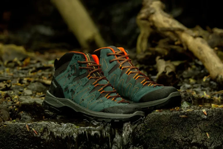
Footwear choices matter more here than on many walks. Proper hiking boots or trail shoes with good ankle support and aggressive tread help significantly. I’ve watched people attempt this in road running shoes, and while some manage fine, others struggle with the uneven ground and slip on wet rocks. The walk isn’t technical enough to require specialist mountaineering boots, but it’s technical enough that casual trainers are a liability.
Seasonal Variations Worth Knowing
The circuit changes noticeably between seasons. In summer, the heat and humidity make the walk feel longer than it is. The forest provides shade, but the air feels heavy, and you sweat more, which means you need more water. In autumn and winter, the walk is more pleasant temperature-wise, but the ground tends to be wetter because there’s less evaporation and occasional rain is more likely.
Spring brings wildflowers and fresh growth, which looks nice but also means the track edges are less defined – vegetation encroaches, and it’s easier to lose the clear path momentarily. After heavy rain, the track can be slippery for several days, and the creek crossings become more challenging. I generally avoid this walk for a day or two after significant rainfall unless I’m specifically prepared for wet conditions.
The Coomera Circuit is a solid walk that rewards preparation and realistic expectations. It’s not dangerous, but it’s not trivial either. The people who enjoy it most are those who start early, move at a sustainable pace, and accept that the terrain will demand attention and care. The people who struggle are usually those who rush, underestimate the distance, or arrive unprepared for mud, water, and uneven ground. Neither outcome is inevitable – it depends on how you approach it.