Mount Coot-tha sits close enough to Brisbane’s CBD that most people treat it as a casual afternoon walk. The distance is modest, the elevation gain manageable on paper, and the lookout at the summit offers the kind of view that makes the effort feel worthwhile. What tends to surprise people, though, is how the forest itself behaves – how the terrain shifts underfoot, how quickly weather can change, and how the subtropical environment creates conditions that don’t match what you might expect from a “short urban walk.”
I’ve walked these trails dozens of times across different seasons, and the experience is rarely the same twice. That’s partly what makes the mountain interesting. It’s also what catches people unprepared. The forest canopy is dense enough that you don’t always notice what’s happening with the weather until you’re already committed to the path. The ground itself varies dramatically – clay-based sections become slick after rain, rocky stretches offer decent grip when dry, and the leaf litter can hide uneven footing. None of this is dangerous in isolation, but combined with fatigue, time pressure, or underestimation of the walk’s actual difficulty, it becomes worth respecting.
The Terrain Changes More Than Most Expect
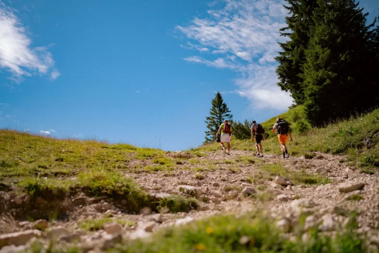
The main track up Mount Coot-tha follows a fairly direct route, but “direct” doesn’t mean uniform. The first section from the carpark is the steepest and most exposed – you’re climbing through more open scrub with decent views back toward the city. This part is where most of the elevation gain happens, and it’s where people tend to burn through energy fastest. The grade is consistent enough that you can settle into a rhythm, but the psychological weight of seeing how much higher you still need to go can affect pacing.
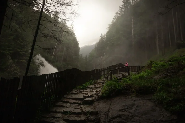
Once you move into the denser forest sections, the character of the walk shifts. The grade eases slightly, but the footing becomes less predictable. The track narrows, tree roots cross the path at ankle height, and the surface transitions between packed earth, exposed rock, and sections where the trail has eroded into a shallow gully. In wet conditions, these gullied sections can channel water and become genuinely slippery. I’ve seen people lose their footing on what they assumed was solid ground, particularly on the descent when fatigue makes you less attentive to foot placement.
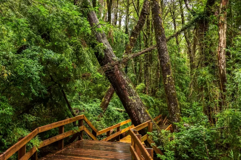
The forest canopy is thick enough that you’re walking in dappled shade for most of the middle section. This is actually one of the trail’s strengths – it keeps temperatures manageable even on hot days. But it also means the ground stays damper longer after rain, and you lose the visual cues you’d get from direct sunlight. Muddy patches that look solid can give way underfoot. Rocks that appear dry might have a slick algae coating on their underside.
Weather Patterns and Timing Matter More Than Distance
The walk itself is roughly 4 to 5 kilometers return, depending on which sections you take. That’s not a long distance. But timing is where reality diverges from expectations. Most people underestimate how long it takes to climb 260 meters of elevation gain through forest terrain. A reasonable pace gets you to the summit in 45 minutes to an hour, but that assumes steady effort and no stops. Add in photo breaks, water breaks, and the natural slowdown that happens when the grade gets steep, and you’re looking at 90 minutes or more for many walkers.
The descent takes longer than people anticipate as well. Downhill through forest is harder on the knees and ankles than uphill, and the concentration required to avoid tripping on roots and rocks is mentally fatiguing. I’ve watched fit people arrive at the summit feeling strong, then struggle noticeably on the way down. The psychological shift from “this is easy” to “why is this taking so long” affects decision-making. People rush, take risks with footing, or simply arrive back at the carpark more tired than they expected.
Afternoon thunderstorms are common in Brisbane, and Mount Coot-tha’s elevation makes it a natural lightning target. If you’re starting late in the day, you’re gambling with weather. The forest provides some shelter from rain, but it also means you might not realize a storm is approaching until you’re already on the trail. I’ve been caught in situations where the sky opened up while I was in the thickest part of the forest, with no real shelter and no clear view of how bad conditions were becoming. The walk is short enough that you can usually descend before things get dangerous, but it requires discipline to start the descent rather than wait it out.
The Subtropical Environment Creates Its Own Challenges
Brisbane’s subtropical climate means the forest is alive year-round, but that liveliness comes with friction. Insects are present and active, particularly in warmer months. Mosquitoes are a minor nuisance on the exposed sections, but they’re barely noticeable once you’re in the forest. Leeches are the real consideration during and after rain – they’re small enough that you might not notice them until later, and they’re persistent enough that prevention is easier than removal. Long pants and treated clothing make a difference, though nothing is foolproof.
The humidity is constant, even when it doesn’t feel like it. The forest retains moisture, and on warm days, the combination of climbing and high humidity creates a fatigue that’s different from dry-heat exertion. Your body works harder to cool itself, and dehydration sneaks up faster than you’d expect. I’ve seen people arrive at the summit genuinely surprised at how thirsty they are, having underestimated their water needs based on the walk’s short distance.
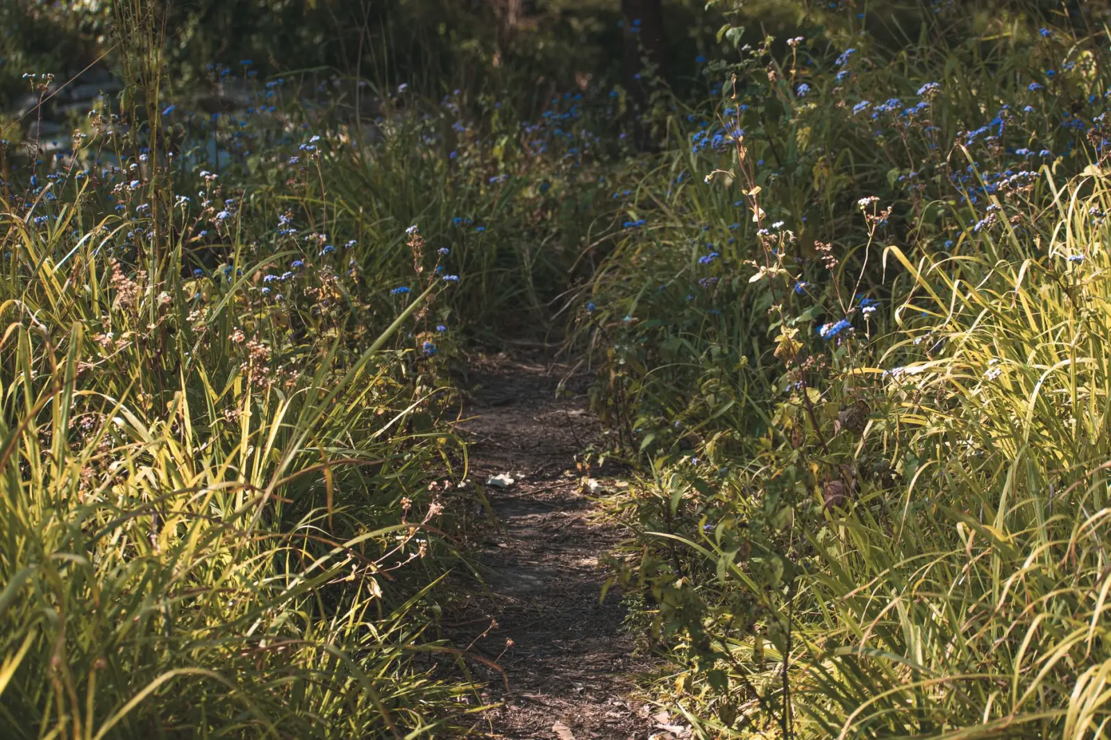
Vegetation along the trail is dense but generally well-maintained. The track itself is clear, and there’s little risk of getting lost if you stay on the main path. But the forest is thick enough that if you do wander off-trail, you’ll quickly realize how disorienting it becomes. The canopy blocks directional cues, and the understory is dense enough to be genuinely slow going. This isn’t a wilderness walk – you’re never far from civilization – but the forest still commands respect.
Practical Realities of the Experience
The summit itself is worth the effort. The lookout offers genuine views across Brisbane, the bay, and out toward the ranges. On clear days, it’s genuinely striking. On hazy days, it’s less impressive but still functional. Most people spend 15 to 30 minutes at the top, which is enough time to recover, take photos, and grab water before heading down.
The descent is where most people’s experience either solidifies as positive or tips toward regret. A controlled descent, with attention to footing and a willingness to move slowly, leaves you feeling good about the walk. A rushed descent, particularly if you’re tired or the ground is wet, can leave you sore and frustrated. The difference is often just pacing and acceptance that downhill takes time.
Most walkers find the experience worthwhile. It’s close to the city, the forest is genuinely pleasant to walk through, and the summit view justifies the effort. But the walk demands more attention than its short distance suggests. The terrain is variable, the weather can shift quickly, and the subtropical environment creates conditions that don’t forgive carelessness. Respect those factors, and Mount Coot-tha’s forests offer a solid walk that feels like genuine bushwalking despite its urban proximity.