
Brindle Creek’s forest sprawls across terrain that looks deceptively straightforward on paper but reveals itself gradually once you’re moving through it. I’ve spent enough time in these woods to know that the experience changes significantly depending on when you go and how prepared you actually are – not in the romanticized sense, but in the practical, boots-on-the-ground sense. The forest demands respect for its particulars, and those particulars shift with the seasons and weather patterns in ways that matter.
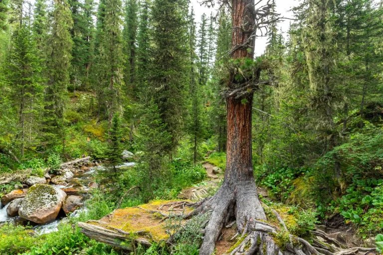
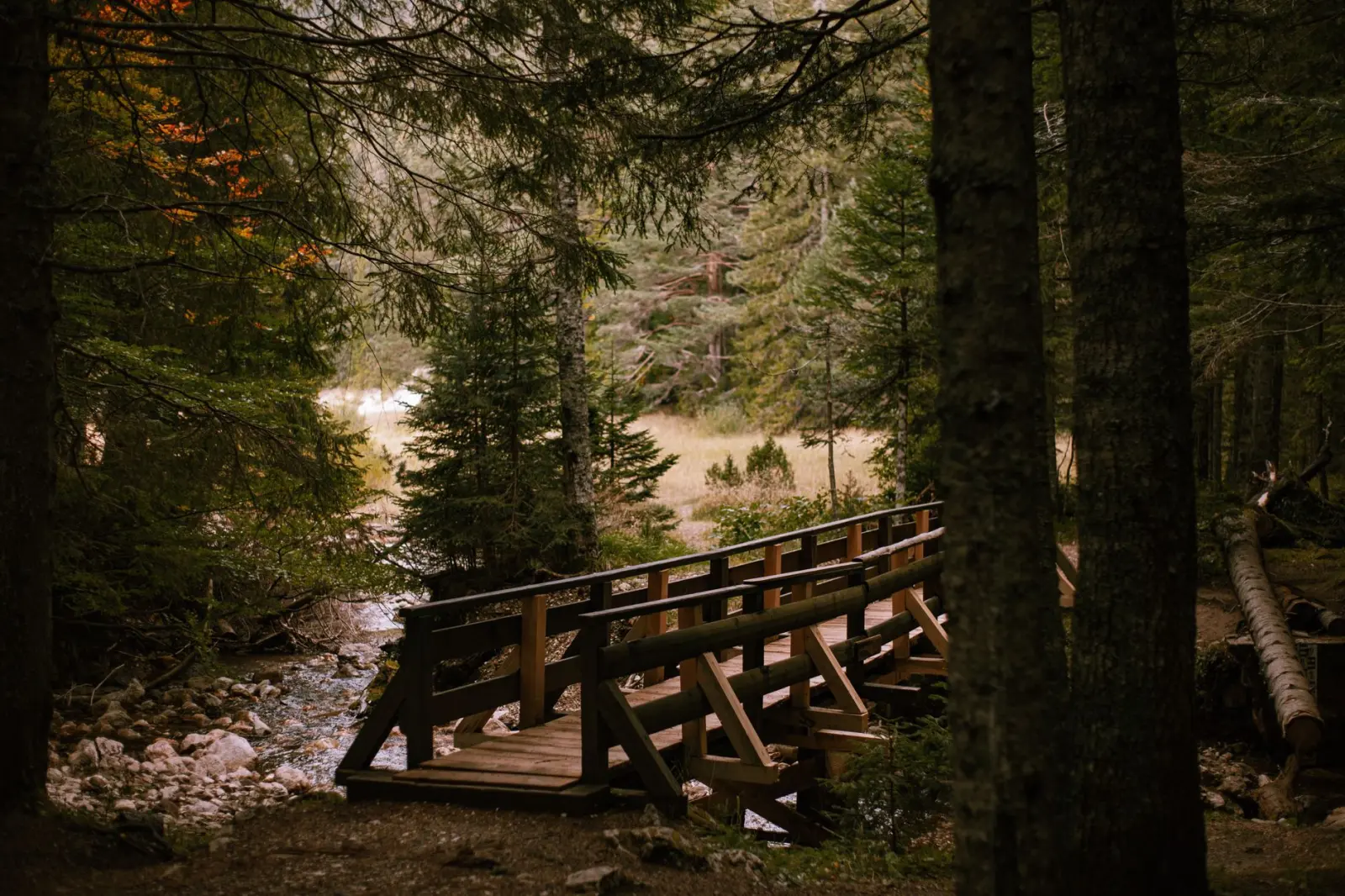
The creek itself is the obvious reference point, but it’s not always a reliable guide. During dry months, the water level drops enough that you can cross in multiple places without much difficulty. In spring or after heavy rain, the same crossing points become impassable or dangerous. I’ve watched people arrive expecting to wade across and instead spend an hour finding an alternate route. The creek also obscures what lies beyond it – the forest on either side is denser than it appears from a distance, and the sound of water can mask other navigational cues you might otherwise rely on.
The Forest Structure and Movement
What strikes most people first is how the vegetation changes within short distances. The areas closest to the creek tend to be wetter and more overgrown, with dense undergrowth that slows movement considerably. Push back fifty yards or so, and the forest opens up into a more walkable canopy. The soil composition shifts too – closer to the creek, it’s softer and more prone to holding moisture, which means your footing is less stable. Further back, the ground firms up, though fallen branches and uneven terrain create their own navigation challenges.
The canopy coverage varies enough that you’ll notice temperature and light changes as you move through different sections. Dense overhead cover means slower drying after rain and cooler conditions even in warm months. Open patches bring unexpected heat exposure, which catches people off guard if they’ve dressed for shade. I’ve seen visitors arrive in light layers expecting consistent forest conditions and find themselves either overheated or chilled depending on where they’ve wandered.
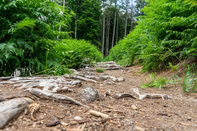
Trail markers exist in some sections but are inconsistent. Some paths have been worn clear by regular foot traffic over years. Others fade into the undergrowth within a few hundred meters. Relying on a single path is risky – you need to develop a sense of where the forest actually allows easy movement versus where it resists. This isn’t something you learn from a map. It comes from observing how the trees are spaced, how the undergrowth thickens or thins, and where previous walkers have naturally gravitated.
Seasonal Realities
Spring brings water and mud. The creek rises noticeably, and the forest floor becomes soft and slippery. Footing becomes a real concern, especially on slopes. I’ve seen people slip badly on what looked like stable ground because the soil was saturated beneath a thin layer of leaf litter. Insects also emerge more aggressively in spring – mosquitoes in particular can be relentless near the creek during certain weeks. Timing matters. Go too early in spring, and you’re dealing with snow melt and unstable conditions. Wait a few weeks, and the water level stabilizes while the insects haven’t yet reached peak activity.
Summer offers the most stable ground conditions, but the heat and humidity create their own challenges. The forest doesn’t cool as much as people expect once the sun is high. Shade helps, but the air feels thick and heavy in the deeper sections. Dehydration happens faster than in open terrain because the lack of breeze means sweat doesn’t evaporate efficiently. I’ve noticed that people underestimate how much water they need in these conditions. The forest feels cooler than open ground, so visitors drink less, then hit a wall of fatigue mid-afternoon.
Fall is often considered ideal, and there’s truth to that. The ground is stable, insects are less aggressive, and temperatures are moderate. But fall also brings dense leaf cover that obscures what’s underfoot. Twisted ankles are more common in fall than in any other season because a root or hole hidden under leaves catches you mid-step. The beauty of the season works against you – people are distracted by the visual landscape and not paying attention to their footing.
Winter transforms the forest significantly. If snow falls, it can disguise terrain features and make navigation genuinely difficult. The creek becomes harder to cross safely, and the forest floor becomes slick. But if you get a dry winter period, the lack of vegetation actually makes movement easier in some areas. You can see further, and the ground is firm. The trade-off is exposure – without leaf cover, wind moves through the forest more directly, and cold penetrates faster. Layers become critical.
Navigation and Practical Constraints
Cell service is spotty throughout most of the forest. GPS works, but it’s not reliable enough to be your only reference, especially under dense canopy. I’ve relied on GPS before and watched it drift by fifty or sixty meters, which is enough to send you off a trail entirely. Maps help, but they’re only as good as your ability to correlate what you see on paper to what’s actually in front of you. The forest doesn’t always match the contours shown on older maps. Vegetation changes, erosion shifts drainage patterns, and trails get overgrown or rerouted.
Time moves differently in the forest. A distance that looks short on a map can take significantly longer to cover on foot, especially if the terrain is rough or wet. I’ve watched people plan a two-hour walk and still be in the forest at dusk because they underestimated how much the undergrowth would slow them. Fatigue compounds the problem – tired legs move slower, and decision-making becomes less sharp. It’s easy to second-guess your route when you’re tired and uncertain of your location.
The forest is quieter than most people expect, which can be disorienting. Sound doesn’t travel the way it does in open terrain. You can’t hear someone calling from a distance the way you might in a meadow. This matters if you’re exploring with others or if you’re trying to gauge how far away something is. The absence of familiar reference points – no distant hills, no obvious landmarks – means you rely more heavily on close observation and memory of the path you’ve taken.
Water sources are abundant near the creek, but quality varies. The water closest to the creek is generally safer than stagnant pools in low areas. Still, treating water before drinking is practical. I’ve seen people get sick from creek water they assumed was clean because it was flowing and clear. Looks can be deceptive, especially downstream from areas where wildlife congregates.
Exploring Brindle Creek’s forest rewards patience and attention. The terrain itself isn’t hostile, but it demands that you move with awareness of what’s actually happening around you rather than what you expected to find. The forest changes with seasons, weather, and time of day in ways that matter for safety and enjoyment. People who return repeatedly tend to develop an intuition for the place – they know which sections are passable in certain conditions, where the ground is most stable, and how the forest feels at different times of year. That knowledge doesn’t come from a guidebook. It comes from being there, noticing what works and what doesn’t, and adjusting your approach accordingly.