Spend enough time walking through rainforest valleys, and you start to notice that waterfalls aren’t simply scenic features dropping into pools. They’re active sculptors of the landscape, constantly reshaping the terrain beneath and around them. The relationship between falling water and valley form is direct and measurable, though it operates on timescales that make it easy to overlook during a single visit. What you’re observing at any given moment is a snapshot of an ongoing process that has been carving these valleys for thousands of years.
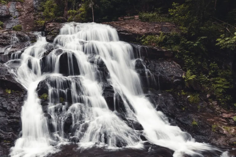
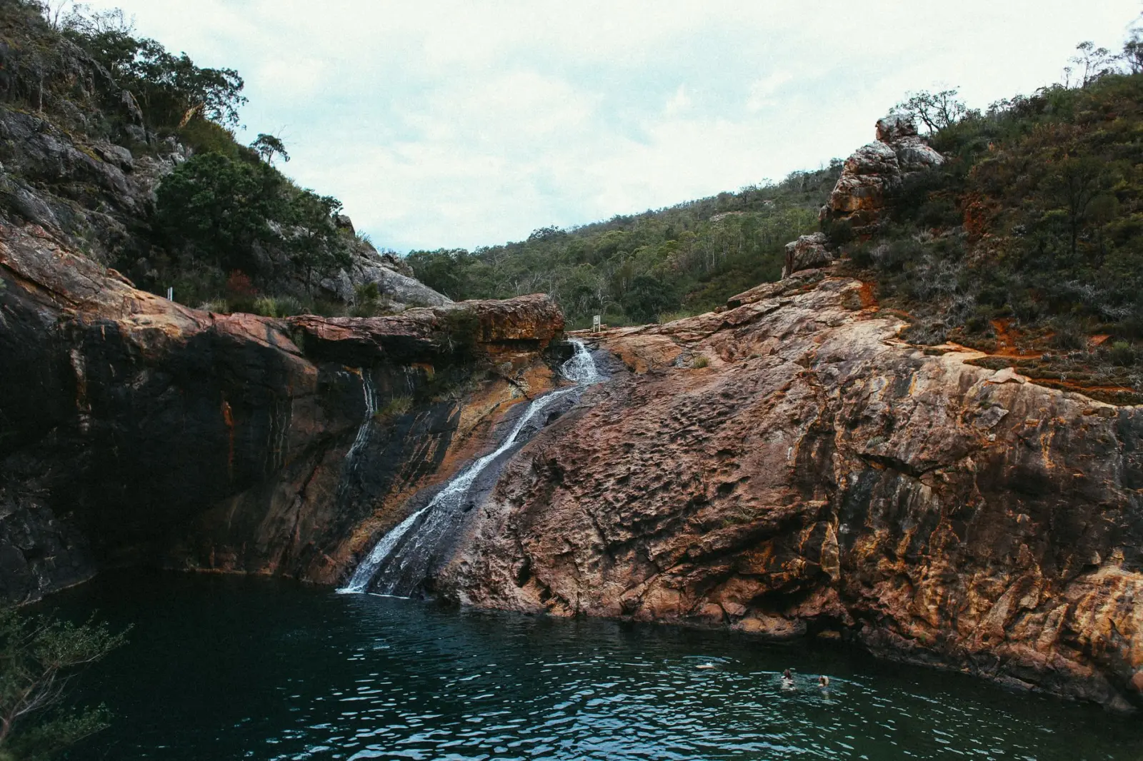
The fundamental mechanism is straightforward: water falling from height carries tremendous kinetic energy. When it hits the base of a waterfall, that energy dissipates through impact and turbulence. This energy doesn’t simply disappear. It works against rock, soil, and sediment, wearing them away in predictable patterns. Over time, this concentrated erosion creates the distinctive plunge pools you see at the base of most significant falls. These pools aren’t accidental features. They’re the direct result of the waterfall’s erosive power focused on a specific point, year after year.
Vertical Erosion and Headwall Retreat
The most visible effect of waterfalls on valley structure is headwall erosion. As water cascades down, it preferentially attacks the rock face directly beneath the fall. This creates a notch that deepens and widens over time. The waterfall essentially cuts upward into the landscape, a process called headwall retreat. I’ve observed this most clearly in valleys where the underlying rock is relatively uniform in composition. The waterfall maintains a steep face, sometimes nearly vertical, while the surrounding terrain slopes more gradually.
This upward migration of the waterfall creates a characteristic valley profile. Below the fall, the valley floor is often steep and narrow, almost gorge-like. As you move downstream, the gradient decreases and the valley widens. This transition isn’t random. It reflects the diminishing influence of the waterfall’s concentrated erosive energy. The farther downstream you go, the more the water spreads out and the more its power is distributed across a wider channel.
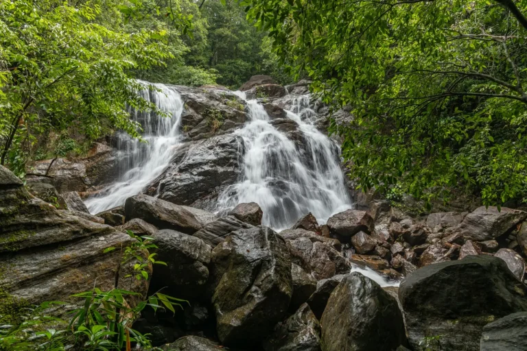
Rock type matters significantly here. In valleys where the bedrock is resistant granite or metamorphic stone, waterfalls tend to maintain steep, dramatic drops. The rock simply doesn’t yield quickly to erosion. In softer sedimentary or weathered zones, waterfalls may develop a more gradual cascade or series of smaller drops rather than a single sheer fall. The valley profile adjusts accordingly. A valley dominated by soft rock often has gentler slopes and wider plunge pools, while resistant rock produces narrower, deeper gorges.
Sediment Transport and Downstream Deposition
What happens to the material eroded from the waterfall base doesn’t stay there. The turbulent water at the plunge pool sorts and transports sediment downstream. Fine particles – clay and silt – stay suspended in the water column and travel far downstream, sometimes reaching lowland areas kilometers away. Coarser material settles more quickly. Sand and gravel accumulate in the calmer sections of the stream channel, creating bars and benches that reshape the valley floor.
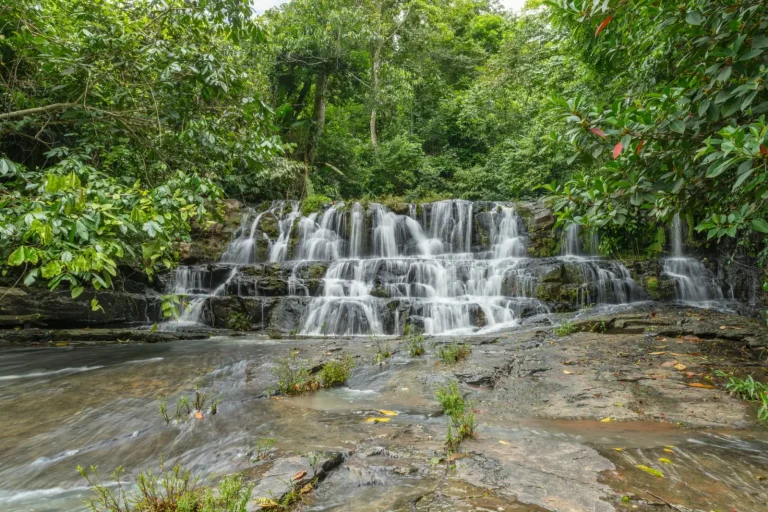
I’ve noticed that valleys with multiple waterfalls develop a distinctive stepped profile. Each waterfall creates its own plunge pool and zone of active erosion. Between falls, the stream gradient decreases, and sediment begins to settle. This creates a series of relatively flat sections interrupted by steeper drops. Over long timescales, these steps represent a kind of dynamic equilibrium. The waterfalls erode upward, but sediment accumulation downstream partially fills in the valley, creating a balance between cutting and filling.
During heavy rainfall, this sediment transport accelerates dramatically. The increased water volume and velocity mobilize material that normally remains stationary. I’ve seen streams that appear relatively clear during dry periods turn into brown, sediment-laden torrents after storms. This seasonal variation in sediment transport is crucial to valley development. The big erosive events – the floods that move large volumes of material – often accomplish more landscape change than years of steady-state flow.
Valley Wall Stability and Slope Angles
Waterfalls influence not just the valley floor but the slopes on either side. The undercutting action at the base of a waterfall can destabilize the surrounding rock and soil. I’ve observed cases where waterfalls have triggered rockfalls and debris slides from the valley walls above them. The water penetrates cracks in the rock, freezes and thaws (in some highland areas), and gradually widens fractures. This mechanical weathering works in concert with chemical weathering from acidic water seeping through the rock.
The slopes flanking a waterfall-dominated valley tend to be steeper than those in sections where the stream flows more gently. This isn’t coincidental. The concentrated erosive power of the waterfall keeps the valley narrow and deep, which forces the surrounding slopes to be steep. In contrast, where a stream meanders through a broader valley with gentle gradient, the slopes are typically lower angle. The valley shape and the slope angles are linked through the same underlying process of water erosion and sediment transport.
Vegetation on these slopes responds to the valley geometry. Steeper sections often have sparser vegetation or vegetation adapted to unstable, frequently disturbed ground. Gentler sections support denser forest with deeper soil development. The waterfall’s influence thus extends beyond just rock and water to shape the entire ecosystem structure of the valley.
Long-Term Valley Evolution
Over geological timescales, waterfalls gradually migrate upstream as they erode the rock face. A valley that currently has a waterfall at its head may eventually lose that waterfall as the stream gradient adjusts and the fall retreats far enough to reach a divide or a more resistant rock layer. Alternatively, new waterfalls may develop downstream as the stream encounters changes in rock resistance or steepness. The valley landscape is constantly reorganizing itself in response to these shifting erosion patterns.
The most striking valleys I’ve encountered are those where multiple waterfalls at different stages of their lifecycle exist within a relatively short distance. Some are young and vigorous, cutting rapidly into the landscape. Others are older and more stable, having found a resistant layer that slows their upstream migration. This mix of ages creates a complex topography that tells a story of valley development over thousands of years.
Understanding how waterfalls shape rainforest valleys requires patience and repeated observation. The processes are real and measurable, but they unfold across timescales that exceed human lifespans. What you see today is the result of countless wet seasons, dry seasons, and occasional major flood events, all working through the mechanism of falling water meeting rock. The valley form you encounter is not static. It’s a temporary arrangement in a landscape that continues to evolve, driven by the relentless energy of water seeking its way downslope.