The border track through dense forest is not a hiking destination in the conventional sense. It exists because a line on a map needed marking, not because the terrain was ever meant to be walked for leisure. After several seasons moving through these forests, the distinction becomes obvious within the first few hours. The trail is there, but it demands something different from you than a maintained hiking route would.
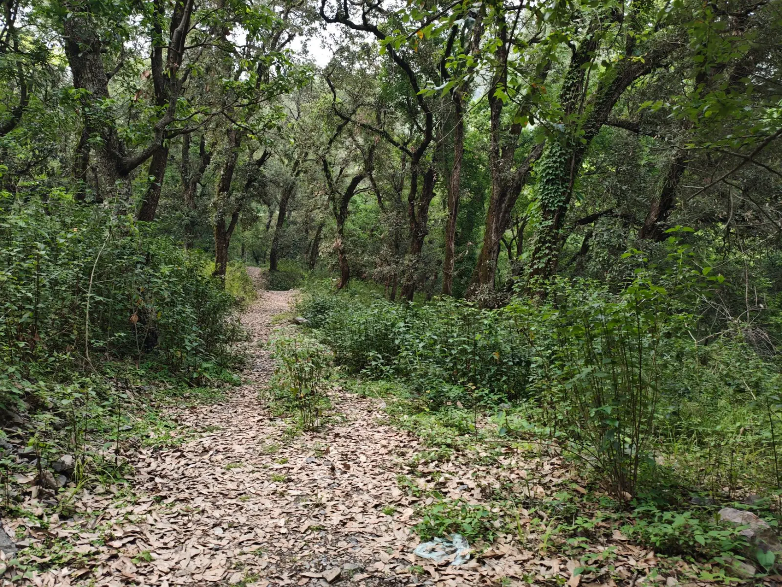
What strikes most people first is the absence of rhythm. On a proper trail system, your body settles into a pace. Your mind wanders. The physical effort becomes almost meditative. The border track doesn’t allow this. The ground changes constantly – soft moss gives way to hidden roots, then to rocky outcrops where the forest floor has eroded down to bedrock. A section that seemed straightforward from fifty meters back becomes genuinely technical underfoot. You’re constantly recalibrating your footing, your stride length, your balance. This cognitive load accumulates faster than simple muscular fatigue.
Navigation and the Reality of Marking
The track is marked, but not consistently. This isn’t poor maintenance – it’s the nature of a border route through remote forest. Markers appear where the forest is dense and the way forward ambiguous. They disappear where the terrain itself creates an obvious corridor. This means you cannot walk on autopilot. You need to read the landscape, notice where others have passed, understand which direction the forest is naturally pushing you.
I’ve watched experienced walkers struggle here because they expected the markers to do the navigational work. The markers are breadcrumbs, not a handrail. When you lose sight of one, the instinct is to stop and search. The better approach is to keep moving in the logical direction while staying alert. The next marker usually appears within a reasonable distance. But “reasonable” on a border track can mean forty minutes of careful navigation through dense growth.
GPS works, but it creates a false sense of security. The canopy is dense enough that signal drops are common. More importantly, knowing your coordinates doesn’t help much when you’re standing in a thicket of young spruce wondering which of three possible routes the official track actually follows. The forest doesn’t care what your GPS says. Paper maps are more useful here than a phone, though even maps can’t capture the fine detail of which specific line through the trees is actually walkable.
The Physical Reality of Multiple Days
A single day walk through forest is manageable. Two days reveals something different. By the second afternoon, your legs don’t recover between days the way they do on maintained trails. The constant micro-adjustments, the uneven ground, the need to step over obstacles – it accumulates in a way that pure distance doesn’t capture. A fifteen-kilometer day on a border track is physically equivalent to a longer distance on a groomed path.
Accommodation options shape how the walk actually feels. The forest has established camping areas, but they’re sparse. This means you can’t simply stop when you’re tired. You walk until you reach the next viable spot, which might be further than you’d prefer. Some days you’ll have time to rest and gather wood. Other days you’ll arrive at camp with barely enough light to set up before darkness. The psychological weight of this uncertainty is easy to underestimate when planning from home.
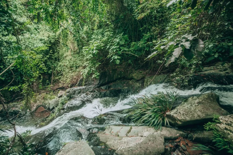
Water is abundant but requires filtering or boiling. The streams are clean by forest standards, but giardia and other organisms thrive in cold water. Carrying a filter reduces anxiety and saves fuel, but adds weight. Most people find the trade-off worthwhile after the first night of boiling water for an hour.
Weather and How It Changes Everything
Clear weather makes the border track pleasant. Wet weather makes it difficult. Heavy rain makes it genuinely hazardous. The forest floor becomes slick. Visibility drops. Streams swell. What was a straightforward crossing becomes a careful negotiation with moving water. I’ve turned back on days when the weather shifted unexpectedly, and I’ve never regretted the decision.
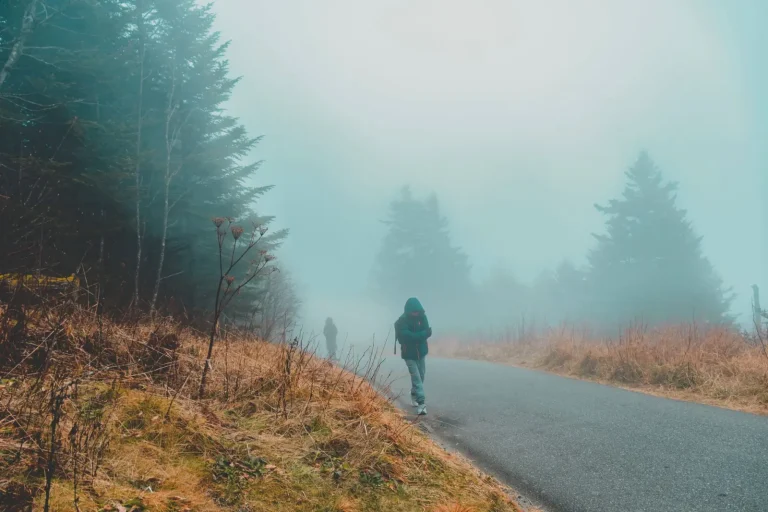
The forest creates its own weather patterns. Fog rolls in from the valleys and can persist for hours, reducing visibility to thirty meters. Wind moves differently through dense trees than across open terrain. Temperature swings can be sharp, especially at elevation. The microclimate changes noticeably every few hundred meters of elevation gain or loss.
Seasonal timing matters enormously. Early season means mud, swollen streams, and potentially snow at higher elevations. Late season brings stable weather but shorter daylight hours and the possibility of early snow. Mid-season is most forgiving, but also most crowded if the track sees regular use.
What Gets Overlooked in Planning
Most people underestimate the mental fatigue. The constant navigation, the uneven terrain, the absence of clear progress markers – these create a different kind of tiredness than straightforward hiking. By day three, decision fatigue becomes real. Which way at the fork? Is this the right stream crossing? How much further to the next camp? These questions accumulate.
Blisters appear differently here. The varied terrain and constant micro-adjustments of your foot position create friction patterns that differ from road hiking. Blister prevention matters more because you can’t simply push through – the terrain demands full attention and stability. Tape and preventative measures are worth the pack weight.
Insect pressure varies dramatically by season and location. Mosquitoes can be intense in mid-summer near water. Biting flies appear in certain forest types. This isn’t a minor annoyance – it affects sleep quality and your ability to rest effectively between days. Proper head netting and insect repellent become essential gear, not optional luxuries.
The forest itself is quiet in a way that can feel isolating. There’s no ambient noise from civilization, no distant traffic. The silence is profound. Some people find this restorative. Others find it unsettling, especially after several days. This psychological aspect rarely gets discussed in planning conversations, but it shapes the experience more than most expect.
Walking the border track is not difficult in the way that technical climbing is difficult. It’s difficult in the way that sustained attention and variable terrain are difficult. It requires acceptance that progress will be slower than distance alone suggests, that navigation will demand constant engagement, and that the forest operates on its own schedule regardless of your timeline. This isn’t a criticism of the track – it’s simply what the landscape requires.