The forests of Barrington Tops sit in that awkward middle ground where they’re accessible enough to draw regular walkers, yet complex enough to catch people off guard. I’ve spent enough time moving through these ranges to recognize the patterns – the places where people move confidently, and the spots where things become genuinely uncertain. The landscape itself doesn’t change much season to season, but how you experience it does.
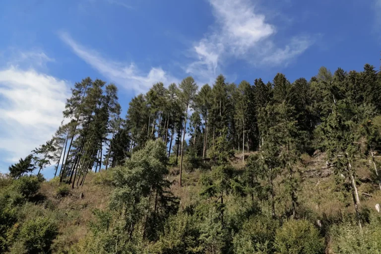
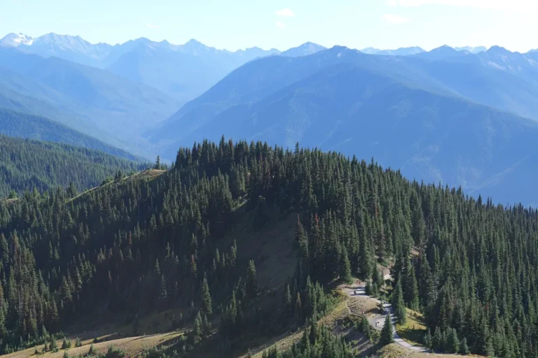
The first thing to understand is that Barrington Tops isn’t a single forest type. The plateau sits around 1,500 meters, and the vegetation shifts depending on aspect, drainage, and fire history. The high country has open heathland mixed with stunted snow gums and alpine shrubland. Drop into the gullies and you’re in wet sclerophyll forest – taller, denser, with ferns and moss covering the ground. The transition between these zones happens quickly, sometimes within a few hundred meters of walking. This matters because the terrain changes how you move, how you navigate, and how much energy you actually expend.
Navigation is where most of the practical difficulty sits. The plateau itself has good visibility in many areas, and marked trails exist on the main routes. But the forest floor is deceptive. Fallen logs, dense fern growth, and uneven ground create a rhythm of stepping over, around, and sometimes through obstacles. Your pace drops naturally. What might be a 5 km/hour walk on open ground becomes 2.5 to 3 km/hour in thick forest. This isn’t failure – it’s the forest’s actual speed. I’ve watched experienced walkers underestimate this and find themselves still moving when they expected to be finished, which leads to fatigue, poor decision-making, and sometimes people pushing into darkness.
Seasonal Behavior and Ground Conditions
Winter and early spring bring water everywhere. Creeks run hard, seepage appears on slopes, and the ground becomes soft and unreliable. Boots sink slightly with each step. Rocks become slick. The forest canopy is lower in winter – less light penetrates – which affects both visibility and mood. Spring brings new growth that can obscure the trail, especially if maintenance hasn’t been recent. Summer dries things out, but also brings heat that builds quickly in the forest’s enclosed spaces. Autumn is often the most stable season, though leaf litter can hide obstacles and make footing less certain.
The plateau experiences weather systems rapidly. Cloud can roll in within minutes, reducing visibility from several hundred meters to a few dozen. Wind gusts through the open areas with genuine force. I’ve seen people caught in sudden cold rain at elevation, underdressed because the day started clear at lower altitudes. The temperature differential between the base and the plateau is real – often 5 to 8 degrees colder at height. This isn’t dramatic, but it matters when you’re wet and tired.
Water and Navigation Markers
Water sources exist, but they’re not evenly distributed. The creeks are reliable, but finding them requires either knowing the terrain or being willing to move off-trail to locate the sound of water. Some established camps have water nearby; others don’t. Carrying capacity becomes a real constraint. A full liter per person for a few hours’ walking is standard, but in hot weather or on longer routes, you need to know where you can refill. Running out of water in forest isn’t a survival emergency, but it’s uncomfortable and it slows you down further.
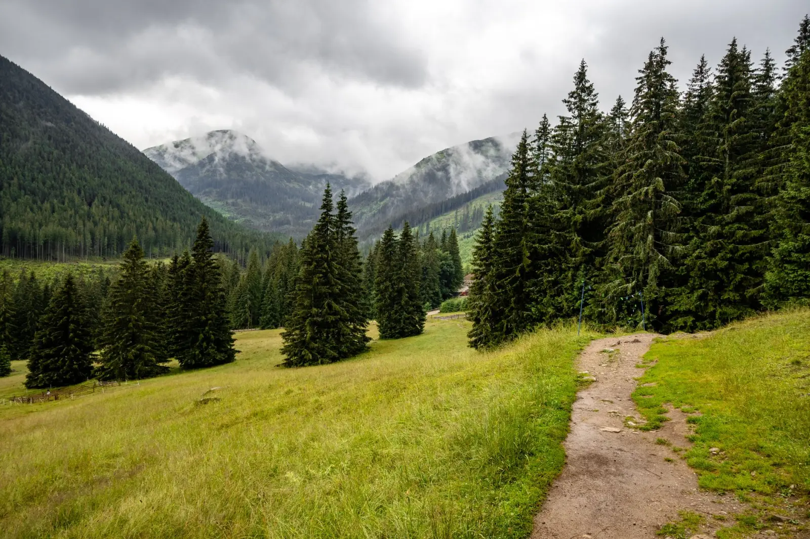
Trail markers vary in condition and frequency. The main routes have reasonable signage – blazes on trees, cairns at intersections. But secondary routes and some connectors have sparse marking. In forest, you can lose the trail without realizing it. The bush looks the same in multiple directions. I’ve spent time backtracking because the trail became ambiguous and I continued in the wrong direction for several hundred meters before the absence of markers registered. GPS helps, but it’s not foolproof in dense tree cover, and relying on it without map literacy creates its own problems.
Physical Demands and Pacing
The elevation gain on Barrington Tops routes is often understated. The plateau itself is high, but many walks involve significant climbing to reach it or moving between different sections. Sustained climbing in forest is more taxing than the same elevation gain on open terrain – the obstacles, the pace reduction, and the psychological weight of not seeing far ahead all compound. I’ve noticed that people who’ve trained on roads or open trails often misjudge the effort required here. It’s not technical climbing, but it’s relentless in its own way.
Fatigue in the forest accumulates differently than on exposed terrain. You’re not fighting wind, but you’re constantly problem-solving your footing and route. Your attention is divided between navigation, obstacles, and pacing. By the time you’ve been walking for three or four hours, the mental fatigue is as real as the physical tiredness. This is when decisions become poor – when people push harder instead of slowing down, when they skip breaks, when they second-guess their navigation and wander.
The descent is often harder than the ascent, particularly in forest. Gravity helps your pace, but the obstacles become hazards. Slipping on wet rocks or roots is common. Knee strain accumulates. I’ve seen people who climbed strongly struggle on the way down and arrive at the car park genuinely depleted. This affects how you plan your day – the return journey isn’t just a reversal of the ascent; it requires its own energy budget.
What Actually Matters Out There
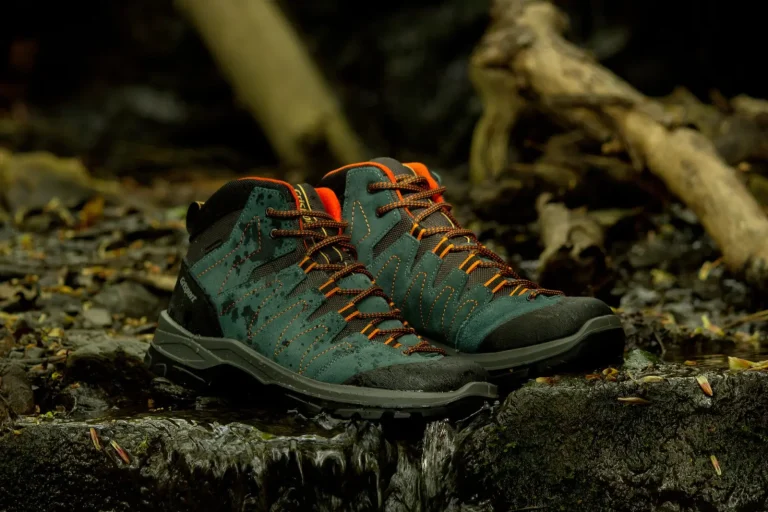
Footwear is worth taking seriously. Proper hiking boots with ankle support and decent grip make a measurable difference in forest. Trail runners work if the terrain is dry and you’re comfortable with exposed ankles, but in wet conditions or rough ground, they’re a liability. I’ve watched people in inadequate footwear move tentatively, second-guessing every step, which increases fatigue and injury risk.
A headlamp isn’t optional if there’s any chance of walking into dusk. The forest gets dark quickly. Even if you don’t need it, carrying one removes the pressure to hurry, which paradoxically makes you safer. Knowing you can move slowly and still see changes how you approach the walk.
Maps and navigation tools should be redundant. Carry a paper map and know how to use it. GPS is useful, but batteries die and signals fade. The combination of map, compass, and basic terrain reading is what actually works when things become uncertain. This isn’t paranoia – it’s the difference between a minor navigation confusion and a real problem.
The forest of Barrington Tops isn’t hostile, but it’s not forgiving of inattention either. It moves at its own pace, and the walkers who move through it successfully are the ones who accept that pace rather than fighting it.