Kondalilla National Park sits in the Blackall Range west of the Sunshine Coast, and its forest walks have a particular character that doesn’t fully reveal itself until you’re moving through them. The park draws steady foot traffic, especially on weekends, but most visitors arrive with incomplete expectations about what the terrain actually requires. After multiple seasons walking these trails, the patterns become clear: the forest here is dense, the humidity is persistent, and the distances are shorter than they feel.
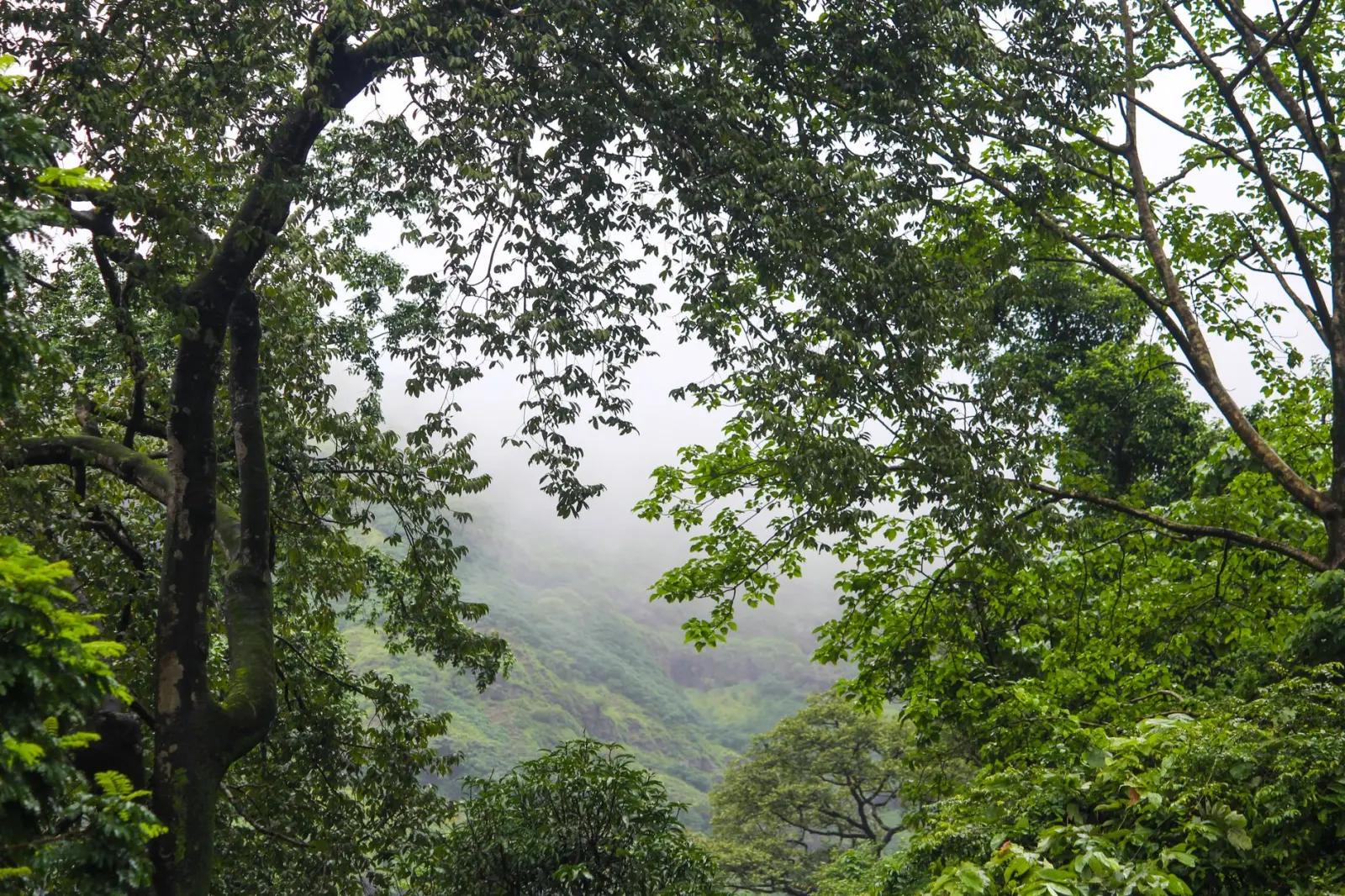
The park’s main appeal centers on its waterfalls and the creeks that feed them. The forest itself is subtropical rainforest – tall trees, thick canopy, constant moisture. This combination creates conditions that shape every walk. The air stays heavy even when it’s not raining. The ground holds water. Visibility through the trees is limited, and the light changes constantly as you move between open sections and dense growth. These aren’t obstacles exactly, but they’re realities that change how a walk unfolds compared to open-country hiking.
Most people approach Kondalilla with the Picnic Creek circuit in mind. It’s the most accessible loop, well-marked, and the waterfall at the end provides a clear objective. The walk sits around 4 kilometers, which sounds manageable until you’re actually on it. The terrain is rocky and rooted throughout. Sections climb steeply, and the steps – where they exist – are uneven. The forest floor is unforgiving. Rocks are slick, especially after rain, and roots catch feet at shin height. The combination of slope, moisture, and obstacles means the walk demands more attention than the distance suggests. A fit person might complete it in ninety minutes. Most people take longer, and that’s not a sign of poor fitness – it’s a reflection of the trail’s actual difficulty.
Water and Creek Crossings
The creeks running through Kondalilla are central to the park’s appeal, but they also introduce a variable that changes between seasons and even between days. After heavy rain, water levels rise quickly. Crossings that are simple rock-hops in dry periods become genuine obstacles. I’ve seen people turn back at creek crossings that looked manageable from a distance but proved too deep or too fast once they reached them. The water is cold year-round, flowing from higher elevations, and the rocks are genuinely slippery – not just wet, but covered in algae and moss.
The park doesn’t maintain formal bridges on most creek sections. You cross on rocks, and the arrangement of those rocks shifts after heavy flows. A crossing that was straightforward last month might require a different approach this month. This isn’t dangerous in normal conditions, but it demands focus and deliberate foot placement. Wearing proper footwear matters here more than on many Australian trails. Shoes with real grip – not casual sneakers – make a tangible difference. Even then, a slip is possible, and the consequences of falling into a cold creek while carrying a daypack aren’t trivial.
Timing and the Heat Reality
The subtropical climate around Kondalilla creates a timing problem that many visitors don’t anticipate. The forest canopy is thick enough to provide shade, which is valuable, but the humidity remains high regardless. On warm days – and most days are warm – the combination of exertion, humidity, and limited air movement builds fatigue faster than it would in more open terrain. People who are accustomed to hiking in drier regions often underestimate this effect. Your body works harder in humid conditions, and the cooling mechanism of sweat becomes less effective.
Starting early matters more here than on many trails. A walk that begins at 10 a.m. in December or January is fundamentally different from one that begins at 7 a.m. The temperature difference is significant, and the psychological effect of completing most of the walk before the heat peaks is substantial. I’ve watched people struggle on afternoon walks who would have moved comfortably in the morning. Water consumption is higher than expected, and the park’s creek water – while cold and flowing – isn’t always convenient to access mid-walk. Carrying sufficient water from the start is a practical necessity, not optional.
Navigation and Trail Markers
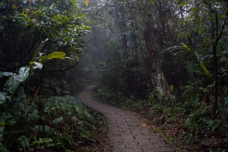
The main circuit is marked adequately, but the markers are sometimes subtle. They’re not blazes painted on trees at regular intervals. Instead, they’re occasional signs and directional indicators. In sections where the trail is obvious – following a creek bed or climbing a clear slope – the lack of frequent markers isn’t a problem. In areas where the forest is particularly dense or where the trail splits, attention is required. This isn’t a trail where you can walk on autopilot. Your focus needs to stay engaged, especially if you’re walking alone.
The park has multiple trail options beyond the main circuit. Some are shorter, some longer, and some connect to adjacent areas. The signage at junctions is generally clear, but it’s worth taking a moment to confirm your direction before moving on. Turning around because you’ve taken a wrong turn adds distance and time, and in humid conditions, that compounds fatigue. A simple map or a GPS app on your phone provides insurance against uncertainty. Many people walk without either and rely on memory or intuition, which works fine on the main trails but becomes a liability if you’re exploring less-traveled sections.
The forest itself can feel disorienting. Trees look similar, the canopy is uniform, and without clear landmarks, it’s easy to lose your sense of direction. This is why the trail markers, even when subtle, matter. They’re the thread that keeps you oriented in an environment where visual reference points are limited. The park isn’t so vast or complex that getting lost is a real risk on marked trails, but the psychological experience of uncertainty in dense forest is worth acknowledging.
Physical Demands and Recovery
The walks at Kondalilla are moderate in distance but high in intensity. The combination of steep sections, uneven footing, humidity, and sustained attention creates fatigue that exceeds what the kilometers alone would suggest. People who walk regularly on flat or gently rolling terrain sometimes find themselves surprised by how much effort the Kondalilla trails require. The rocky, rooted terrain is demanding on knees and ankles. The humidity affects breathing and energy levels. The concentration needed for foot placement is mentally taxing.
Recovery time is often underestimated. A walk that takes two hours leaves people tired in a way that a two-hour walk on a flat track doesn’t. Legs can feel sore the next day, particularly the quadriceps from the downhill sections and the calves from the rocky terrain. This isn’t an injury or a sign of poor conditioning – it’s the normal response to a specific type of physical demand. Knowing this going in helps with planning. If you’re walking Kondalilla on a Saturday morning and have plans for Saturday evening, building in adequate rest time is practical.
The forest environment itself contributes to this fatigue. The humidity, the uneven light, the constant need for attention, and the temperature all add a layer of mental and physical stress beyond the basic exertion of walking. Experienced hikers sometimes note that they feel more tired after a subtropical forest walk than after a longer walk in open country, even when the exertion is comparable. This is worth recognizing as a real phenomenon, not a personal failing.
Walking through Kondalilla’s forests rewards attention and preparation. The trails themselves are accessible and well-maintained, but they demand respect for the environment and realistic expectations about what the terrain requires. The forest is beautiful and compelling, but it’s not forgiving of carelessness or underestimation. Those who approach the walks with this mindset – moving deliberately, carrying adequate water, starting early, and accepting that the distance is only part of the story – tend to have experiences that match their expectations.