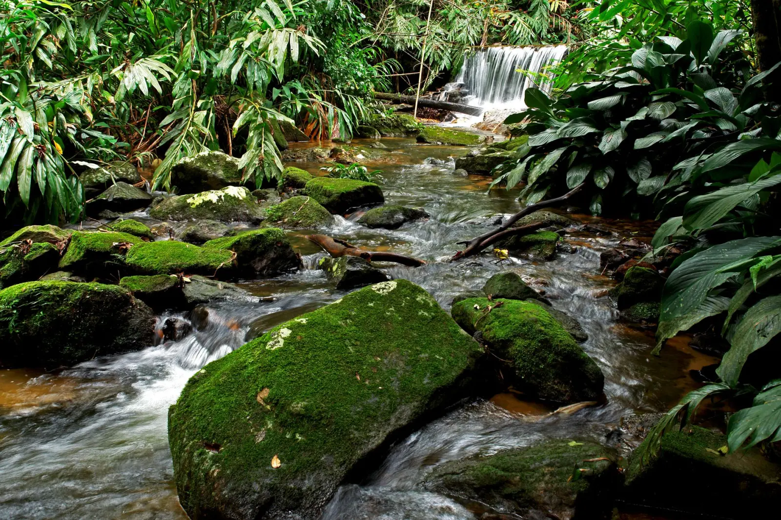
The rainforest gullies that cut through the Sunshine Coast hinterland operate on their own logic. After spending considerable time moving through these systems – both in dry seasons and after heavy rain – you learn quickly that they’re not simply scenic creek walks. They’re dynamic drainage channels where water, gravity, and vegetation create conditions that change dramatically depending on when you visit and how much rain has fallen upstream.
Most people encounter these gullies during the drier months, typically April through September. In that window, the creeks are manageable. Water levels drop, the rock surfaces dry out, and the walking becomes straightforward enough that families can navigate certain sections without technical difficulty. But this seasonal predictability masks what these gullies actually are: concentrated water flows in steep terrain, carved over decades into narrow channels with slippery rock faces and unstable banks.
The substrate throughout these gullies tells you something important about their nature. The rock is primarily sandstone and conglomerate, which means it’s porous and weathers quickly. When dry, it provides reasonable grip. When wet, it becomes genuinely hazardous. The difference isn’t subtle – it’s the difference between a manageable scramble and a serious slip risk. I’ve seen the same section of creek bed transition from passable to dangerous within hours of rain falling in the upper catchment, even when the gully floor itself appears dry.
Water Behavior and Flash Risk
Flash flooding in these gullies is not theoretical. The catchment areas feeding them can be surprisingly large, and the terrain funnels water downslope with real velocity. What makes this particularly important is that the danger often arrives without obvious warning. You might be standing in a gully with ankle-deep water, unaware that heavy rain has fallen several kilometers upstream. The first sign is often a change in water color or a subtle increase in flow rate.
The vegetation in the gullies doesn’t help with early warning. The dense canopy means you won’t see weather developing overhead. If you’re deep in a narrow section, you also won’t hear rainfall from higher elevations. This is why timing matters more than most people realize. Entering a gully in the morning after overnight rain, or when rain is forecast for later in the day, introduces risk that has nothing to do with your fitness or experience level.
The banks themselves are another consideration. They’re often undercut by water erosion, creating overhanging sections that look stable but aren’t. Soil composition varies – some areas have clay-heavy banks that hold together reasonably well, while others are loose sand and gravel that give way under weight. I’ve watched sections of bank collapse after just a few people have climbed past them. The collapse doesn’t happen dramatically; it’s more a gradual slumping that happens over minutes, which is why you notice it after you’ve already put your weight there.
Seasonal Variation and Access Windows
The actual walkability of these gullies shifts noticeably through the year. Late autumn through early spring brings the highest water volumes. Winter months (June, July) tend to have the most stable conditions – regular rainfall keeps the gullies flowing but rarely produces the intense spikes you see after summer storms. Spring (September, October) is when things get unpredictable. Warm days trigger thunderstorms that dump significant water into these catchments very quickly.
Summer presents a different problem. The heat is intense in the gullies because the narrow channels and dense vegetation trap warm air. Humidity sits around 80 percent even on days when the coast is relatively comfortable. Dehydration happens faster than you’d expect, and the physical effort required to move through the terrain – scrambling over rocks, pushing through vegetation, managing footing on uneven surfaces – is higher than walking on established trails. I’ve seen people underestimate this and run into real difficulty by mid-afternoon.
Vegetation growth also varies seasonally. In spring and early summer, the gullies become significantly more overgrown. Vines, ferns, and shrubs encroach on the walking line, and visibility decreases. This matters because it affects your ability to read the terrain ahead and plan your footing. It also means more contact with vegetation, which can harbor leeches during the warmer months. The leeches themselves aren’t dangerous, but they’re persistent and unpleasant, and dealing with them while navigating technical terrain is a distraction you don’t want.
Practical Constraints of Gully Terrain
Movement through these gullies is slower than most people anticipate. The terrain forces you to place each foot carefully. Rock surfaces are uneven, often polished smooth by water flow, and frequently angled in ways that don’t align with natural walking angles. Scrambling over boulders, crossing water, and managing steep sections means you cover maybe one to two kilometers per hour in moderate conditions. In more difficult sections, it’s considerably less.
This has real implications for trip planning. A gully that appears to be a three-hour walk based on distance alone might take five or six hours in reality. Fatigue becomes a factor earlier than expected, and tired people make poor decisions about risk. I’ve seen situations where groups have pushed deeper into gullies in deteriorating light because they underestimated how long the walk would take, then faced difficult navigation in near-darkness.
Navigation itself can be ambiguous. Multiple creeks intersect and branch throughout the hinterland. Without clear markers, it’s easy to follow the wrong tributary. GPS helps, but dense canopy can degrade signal. Map reading becomes essential, but maps don’t always clearly show which creek is which. Locals sometimes mark routes with paint blazes or cairns, but these fade and aren’t standardized. You need to develop a sense of which direction the main drainage flows and be willing to backtrack if you’ve taken a wrong turn.
What the Gullies Actually Demand
Experience in these environments teaches you to respect the combination of factors rather than any single hazard. The water, the rock, the vegetation, the heat, and the navigation challenges don’t operate independently. A gully that’s moderately challenging in optimal conditions becomes significantly more difficult when you add fatigue, poor light, or uncertainty about your location.
The gullies are worth exploring, but they require a different approach than established hiking trails. You need to move deliberately, check conditions before committing to longer sections, and be genuinely prepared to turn back if circumstances shift. The reward is access to landscape that most people don’t see – intact subtropical rainforest with genuine wildness. But that wildness is also what makes these gullies unforgiving when conditions align against you.