
The Tweed rainforest sits on ground that was violently remade millions of years ago. Walking through it now, you don’t immediately think of lava flows and pyroclastic eruptions. The landscape feels stable, green, almost timeless. But the underlying geology tells a different story – one of repeated volcanic episodes that fundamentally altered what would eventually become one of Australia’s most biodiverse regions.
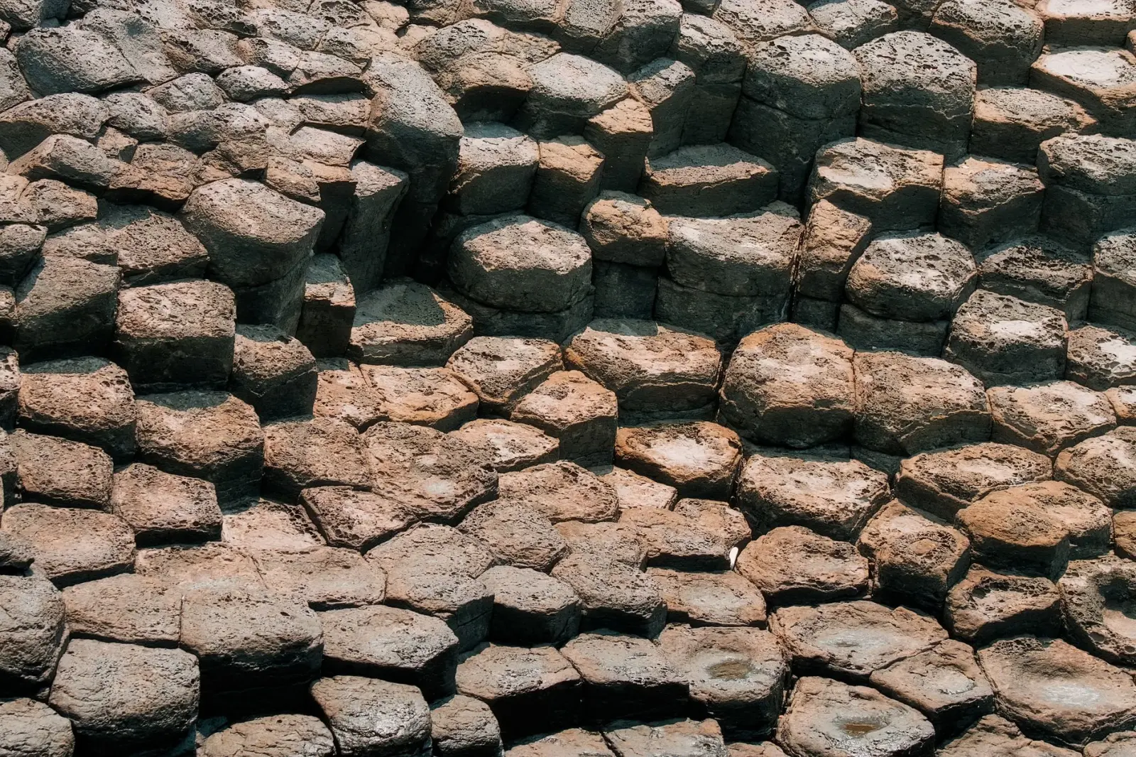
The volcanic history here spans roughly 23 to 6 million years ago, with the most significant activity concentrated in the Miocene epoch. Multiple eruption centers operated across what is now the Tweed region, straddling the New South Wales and Queensland border. These weren’t isolated events. Successive volcanic phases deposited layers of basalt, ash, and other pyroclastic material across the landscape. The cumulative effect was substantial enough to reshape drainage patterns, create new topography, and fundamentally alter soil chemistry across thousands of square kilometers.
What makes this region distinct from other volcanic areas in eastern Australia is the persistence and intensity of the activity. The Tweed volcano itself – the dominant feature – wasn’t a single cone but rather a large shield volcano complex. Over millions of years, multiple eruptions built up the structure, collapsed it, and rebuilt it again. This cyclical pattern created a landscape of nested calderas and overlapping lava flows. The central caldera, which you can still identify in the topography today, measures roughly 35 kilometers across. That scale is easy to underestimate when you’re standing in dense vegetation at ground level.
Basalt and Soil Development
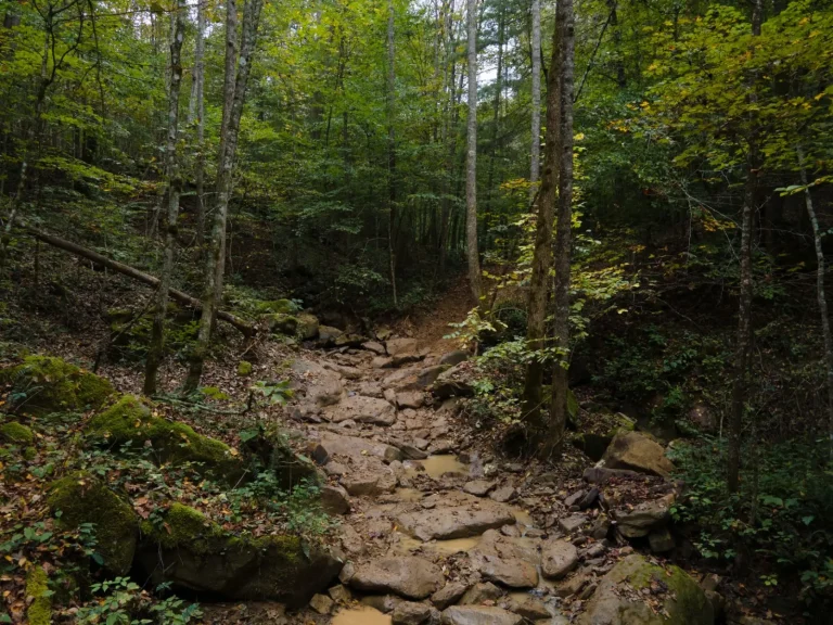
The basaltic rocks left behind by these eruptions didn’t simply sit as inert stone. Over millions of years, they weathered into some of the most fertile soils in the region. Basalt breaks down relatively quickly compared to other volcanic rocks, releasing minerals – particularly potassium, magnesium, and iron – that plants can access. This chemical richness is one reason the rainforest here grows so densely and supports such high species diversity. The soil isn’t just deep; it’s nutritionally complex in ways that sandstone or granite soils elsewhere in Australia simply aren’t.
The weathering process also created a particular soil structure. Basaltic soils tend toward higher clay content, which affects water retention and drainage. In a wet climate like the Tweed region, where annual rainfall regularly exceeds 1,500 millimeters, this matters considerably. The soil holds moisture without becoming waterlogged in most locations, creating ideal conditions for the mix of plant species you find here. The rainforest didn’t emerge by accident; it emerged because the volcanic foundation provided both the chemical and physical conditions necessary to support it.
When you look at the exposed soil profiles in road cuts or eroded banks, you often see distinct layers – darker bands of basalt-derived soil alternating with lighter ash deposits. These layers mark different eruption phases. Some ash layers are fine and uniform, suggesting relatively quiet ashfall. Others show coarser material mixed with charcoal fragments, indicating more violent events. Reading these profiles, you’re looking at a compressed timeline of volcanic activity spanning millions of years.
Topography and Water Flow
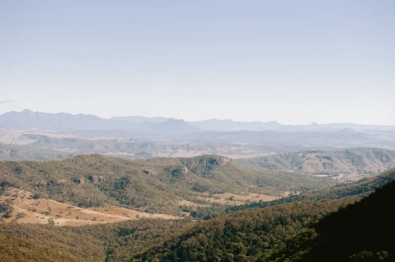
The volcanic activity didn’t just change the soil. It completely restructured the landscape’s relief and drainage. The original pre-volcanic topography was gentler, more typical of the coastal hinterland. The eruptions built up plateaus and ridges, created depressions that became swamps and creek systems, and established the valleys that now channel water toward the coast. Mount Warning, the most prominent peak in the region, is the eroded remnant of the central volcanic plug – the hardened magma chamber that cooled inside the volcano. Its position and height directly influence rainfall patterns and water distribution across the entire Tweed catchment.
This topographic complexity created microclimates. Ridges and exposed slopes experience different temperature and humidity regimes than protected valleys. Creeks that flow through basalt-derived soils behave differently than those in sandstone country – the water tends to be clearer and less acidic, supporting different aquatic communities. The rainforest here isn’t uniform. It varies considerably depending on elevation, aspect, and proximity to water sources, and all of those variations ultimately trace back to how the volcanic landscape was shaped.
The caldera structure itself influences water movement in subtle but persistent ways. The rim of the caldera creates a natural barrier that affects how rainfall is distributed and where groundwater accumulates. Springs and seepage areas often emerge along the caldera edge, where water encounters the boundary between volcanic and non-volcanic geology. These seepage areas support specialized plant communities adapted to constant moisture and particular soil chemistry.
Vegetation Patterns and Ecological Response
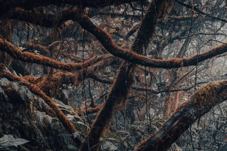
The rainforest that grew on this volcanic foundation developed characteristics distinct from rainforests on other geological substrates. The density of large trees, the diversity of understory species, and the abundance of epiphytes – plants that grow on other plants – all reflect the nutritional and structural advantages the basaltic soils provide. Figs, which are abundant here, thrive on soils rich in the minerals that basalt weathering releases. Strangler figs, in particular, are extremely common, and their prevalence is partly a response to the soil conditions volcanic activity created.
Certain plant species are reliable indicators of basaltic soils in this region. Coachwood, sassafras, and various palm species occur with much higher frequency on basalt-derived soils than elsewhere. This isn’t random distribution. It reflects the specific chemical and physical properties of the soil environment. When you’re moving through the rainforest and notice a sudden shift in the dominant plant species, you’re often crossing from basalt-derived soil into sandstone or other geology.
The volcanic landscape also supports a particular assemblage of animals. Soil invertebrates, which form the base of the food web, respond to soil chemistry and structure. This cascades upward through the system. The birds, reptiles, and mammals that depend on insects and seeds find abundant resources here. The high species diversity the Tweed rainforest is known for isn’t simply a function of climate and rainfall. It’s also a direct consequence of the geological foundation – the volcanic soils and topography that create the environmental conditions supporting that diversity.
Understanding the volcanic origins of this landscape changes how you interpret what you see. The rainforest isn’t just an ecological community that happens to grow in this location. It’s a direct expression of geological history. The eruptions that occurred millions of years ago set in motion a chain of soil development, topographic restructuring, and climate modification that made this particular rainforest possible. Without that volcanic activity, the landscape would be fundamentally different – and so would the forest that covers it.