The Tweed Range sits on the Queensland-New South Wales border as a modest but deceptive landscape. From a distance, the forested ridges look straightforward enough – green, rolling, accessible. In reality, walking through these forests teaches you quickly that elevation gain and vegetation density matter far more than the maps suggest. I’ve spent enough time moving through these ranges to know where most walkers stumble, not metaphorically but literally.
The forest floor itself is the first thing that catches people off guard. Unlike the more manicured walking tracks found in popular national parks, much of the Tweed Range terrain sits somewhere between maintained trail and genuine bushwhacking. Fallen logs accumulate in layers, creating an uneven surface that demands constant attention. Your foot placement can’t be automatic here. Roots snake across the path in patterns that seem almost deliberate in their chaos. The soil underneath tends to be loose in dry periods and treacherous when wet, which means the same section of track behaves completely differently depending on when you last had rain.
Vegetation and Navigation Complexity
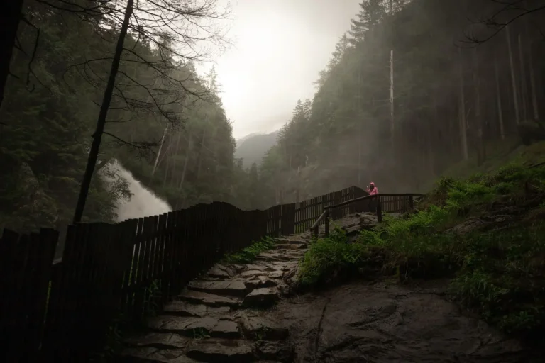
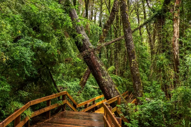
The rainforest canopy in the Tweed Range creates a particular kind of gloom that affects both visibility and navigation. The trees grow densely enough that even at midday, you’re walking in diffuse, green-filtered light. This matters more than it sounds. Your eyes adjust to the low light, but it also means landmarks become harder to distinguish. A rock outcrop that would stand out clearly in open terrain blends into the surrounding forest. Creeks run through valleys, and while they’re useful navigation features, they also create zones where the vegetation becomes even thicker and more tangled.
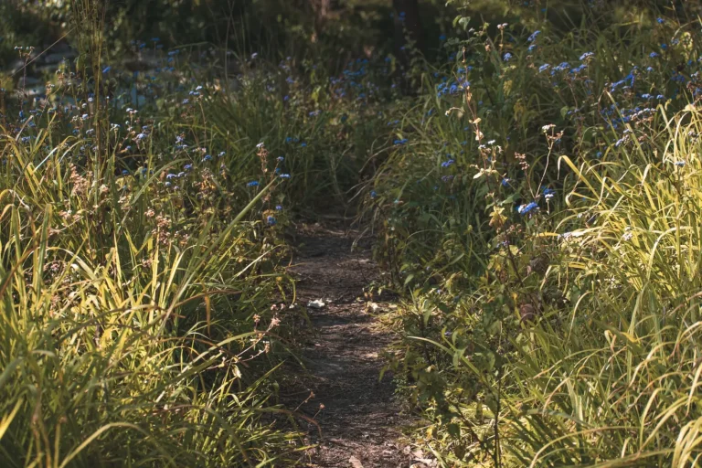
The understory – that layer of smaller trees, ferns, and shrubs between the forest floor and the canopy – varies significantly across different sections. In some areas, it’s relatively open and walkable. In others, particularly where the forest has recovered from past disturbance, the regrowth is so dense that you’re essentially pushing through vegetation rather than walking along a path. This isn’t dangerous in the way a cliff edge is dangerous, but it’s exhausting. Your pace drops. Your energy expenditure rises. The psychological effect of being surrounded by vegetation that resists your forward movement shouldn’t be underestimated.
Water Crossings and Seasonal Variation
The Tweed Range has several permanent creeks, and depending on which route you take, you’ll cross them multiple times. In dry conditions, these are straightforward rock hops. After heavy rain, they become moving obstacles that demand respect. The water moves fast through these valleys because of the elevation change. Rocks become slippery quickly, and the current has genuine force. I’ve seen experienced walkers misjudge the depth and find themselves thigh-deep in cold water that’s moving faster than they anticipated. The temperature of the water is another factor – these creeks run cold year-round because of the elevation and tree cover.
The seasonal pattern in this region is worth understanding before you commit to a walk. The wet season runs roughly November through March, and during this period, creeks can rise dramatically in a matter of hours if rain falls upstream. Even if the weather where you are looks fine, a storm ten kilometers away can change the entire character of your walk. I’ve had to turn back from routes I’d planned because a creek that was ankle-deep in the morning became impassable by early afternoon. This isn’t a worst-case scenario – it’s a regular occurrence during the warmer months.
Elevation and Physical Demand
The elevation profile of the Tweed Range is deceptive on paper. The total vertical gain on many routes doesn’t look extreme, but the way it’s distributed matters enormously. Rather than a steady climb, you often get a series of short, steep pitches separated by flatter sections. This pattern is harder on the legs than a single sustained climb because you never settle into a rhythm. Your muscles engage differently, and the repeated acceleration and deceleration creates fatigue that accumulates faster than you’d expect. The terrain also means you’re rarely able to build momentum – you’re constantly adjusting your pace based on what’s directly in front of you.
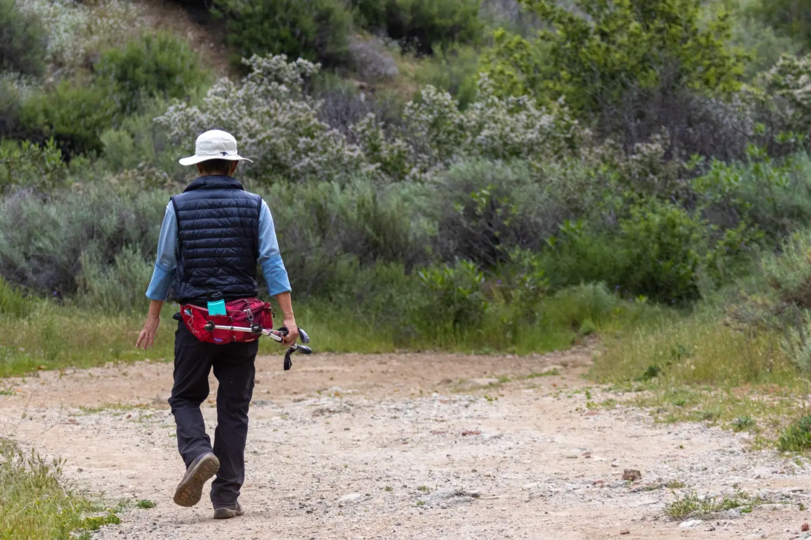
The humidity in the forest adds another layer of physical demand. Even on cooler days, the air is thick and moisture-laden. Your body works harder to cool itself, and you’ll sweat more than you would at the same elevation in drier terrain. This means water consumption needs to be higher than you might calculate based on distance alone. I’ve watched walkers who are fit and experienced in other environments underestimate how much fluid they need in the Tweed Range. The forest doesn’t feel hot in the way open ridges do, but the combination of humidity, exertion, and limited breeze creates genuine heat stress.
Navigation and Getting Oriented
GPS works in the Tweed Range, but the dense canopy can create signal gaps and occasional inaccuracy. More importantly, relying on GPS alone in this environment is a mistake because the landscape itself doesn’t always align neatly with what appears on a digital map. Old logging trails, informal tracks created by repeated foot traffic, and the actual maintained walking routes can diverge significantly. A track that looks clear on a map might be overgrown in reality. A route that seems like bushwhacking on paper might actually be a well-used path on the ground.
The best approach is to combine map reading with GPS and, honestly, local knowledge. Talking to people who’ve recently walked the same route gives you information that no map can provide – which sections are currently overgrown, where water crossings are most problematic, whether recent weather has created new obstacles. The forest changes. A fallen tree across the main route can redirect traffic onto an alternate path that becomes the de facto trail. These shifts happen gradually and aren’t always reflected in published information.
Walking through the Tweed Range forests isn’t technically difficult, but it demands a different kind of attention than more established walking destinations. The terrain forces you to stay present, to adjust constantly, and to accept that your planned pace is likely to be slower than you anticipated. The forest rewards patience and careful footwork. It punishes assumptions and distraction. After many walks through these ranges, I’ve come to respect the way the landscape teaches you its own logic, rather than conforming to what you bring to it.