Mount Spec sits in the Saddleback Range west of Mackay, Queensland, and the forests around it are not what most people expect when they arrive with a casual weekend plan. I’ve spent considerable time moving through these ranges, and the gap between what visitors imagine and what they actually encounter is significant enough to matter.
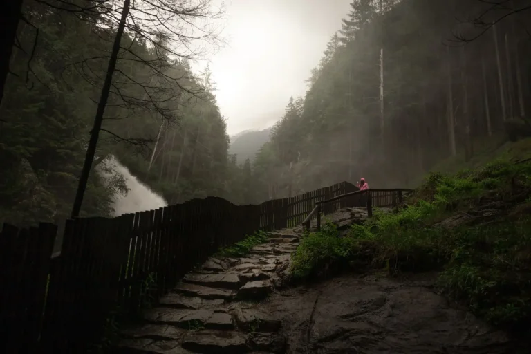
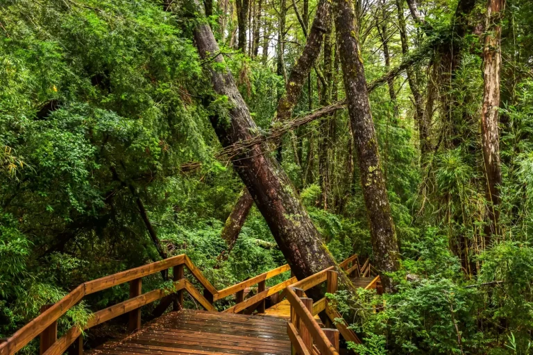
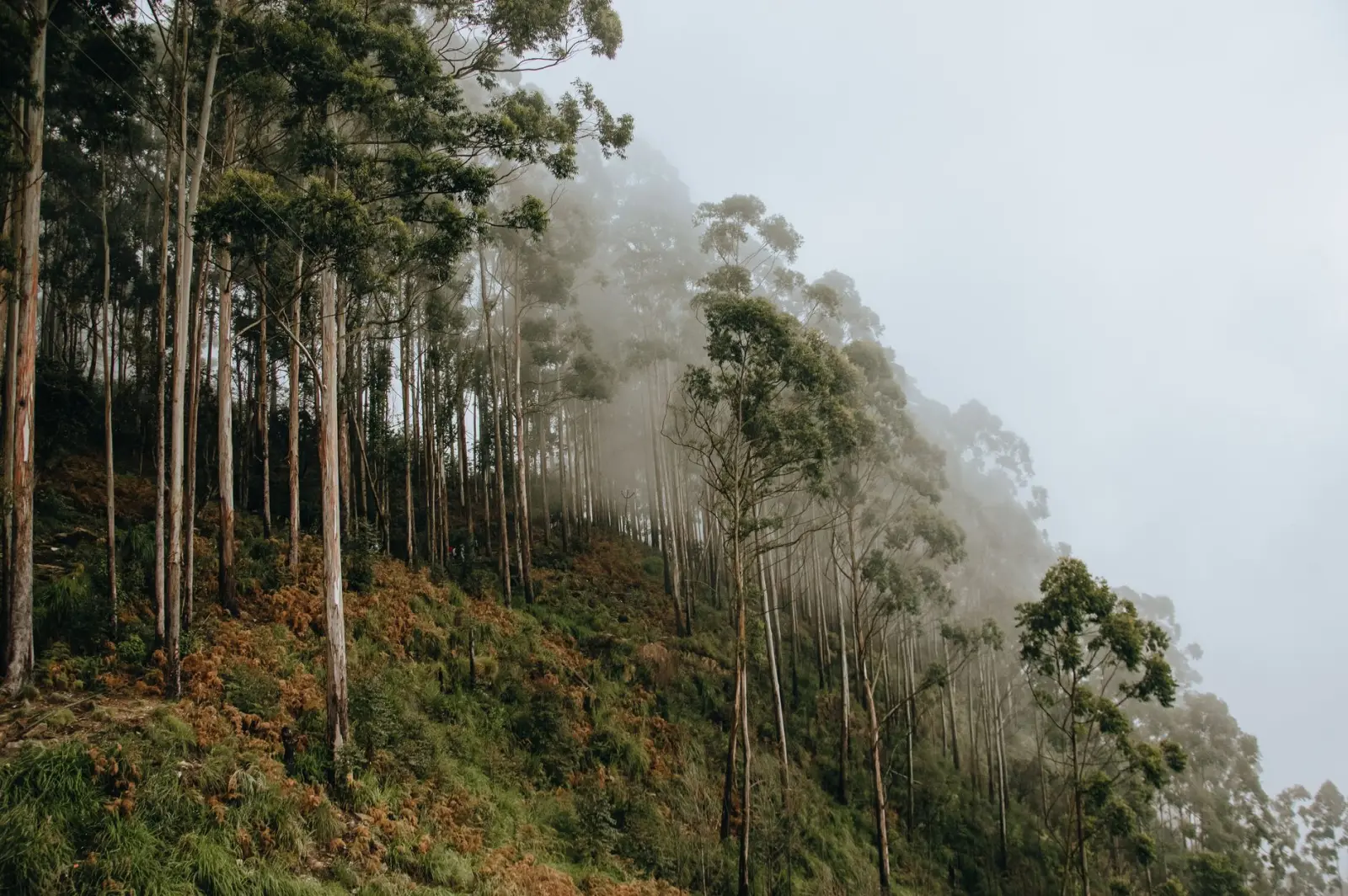
The forests here are dense eucalyptus and rainforest transition zones. The canopy is thick, which means the ground stays damp even when it hasn’t rained for days. Visibility is limited. The terrain rolls and climbs in ways that don’t announce themselves until you’re already committed to a particular direction. This is not a place where you can see the next landmark from where you’re standing.
Most people approach Mount Spec itself as a day walk, and that’s reasonable if you start early and move steadily. The main track is reasonably maintained, though “maintained” here means cleared enough to follow, not smoothed or graded. The ascent is relentless rather than technical – there are no scrambles or exposed sections – but the grade is consistent and the distance is longer than the elevation gain alone suggests. The forest closes in as you climb, and the sense of progress becomes harder to judge.
Timing and the Reality of Daylight
This is where most trips encounter friction. The walk to the summit takes longer than guidebook estimates, not because the route is complicated but because the terrain doesn’t allow for fast movement. Roots, rocks, and the need to watch your footing consume time. Add to that the fact that the forest is dim even at midday, and you’re essentially working in lower light than you’d experience on an open ridge. By the time you reach the summit and spend any time there, the light is already starting to shift. The descent in fading light through dense forest is genuinely unpleasant, and it’s where most navigation errors happen.
I’ve seen people turn back at the summit because they misjudged how long the descent would take. That’s not a failure – it’s actually sound judgment. The forest around Mount Spec doesn’t forgive poor timing. There are no shortcuts, no alternate routes that save distance, and no open sections where you can navigate by landmarks if you lose the track. If you’re still in the forest when it’s genuinely dark, you’re in a situation that requires a headlamp and patience, and you’re moving slowly.
Water, Mud, and Ground Conditions
The soil here holds moisture exceptionally well. Even in dry periods, the forest floor is boggy in sections. This isn’t dramatic – you’re not wading through swamps – but it means your footing is never entirely secure, and the mud accumulates on your boots in a way that adds weight and changes your gait. Experienced walkers adjust for this automatically, but visitors often don’t account for how much energy it takes to move through soft ground for hours.
Water sources exist, but they’re not reliable for drinking without treatment. There are creeks in the lower sections, and they flow year-round, but the water is tannin-stained and carries the usual forest microorganisms. Carrying enough water is essential. The ascent is dry in most sections, and there’s no reliable water between the lower creeks and the summit. On a warm day, people underestimate how much they’ll drink climbing through humid forest without wind.
Exploring Beyond the Main Track
The forests around Mount Spec extend well beyond the main summit walk. There are old logging tracks, creek lines, and ridge routes that branch off into less-traveled country. These routes are where the landscape becomes genuinely interesting, but they’re also where navigation becomes a real skill rather than a matter of following a marked trail.
I’ve traced several of these routes over time, and the pattern is consistent: they’re poorly marked, they cross sections where the track has been reclaimed by vegetation, and they require you to read the landscape – understanding which direction water flows, where the ridge lines run, how the forest density changes with elevation. This is navigable if you have a map, a compass, and the ability to orient yourself, but it’s not something to attempt with only a GPS unit and no paper backup. GPS units die, lose signal in dense forest, and create a false sense of precision that doesn’t match the reality of moving through unmaintained terrain.
The creek lines are particularly worth exploring if you have time and experience. They’re cooler, they offer natural navigation (you follow the water), and the riparian forest is structurally different from the drier ridge forest. But moving along creeks is slow. The banks are often steep, the rocks are slippery, and you’re constantly making decisions about whether to cross or stay on one side. A creek walk that looks straightforward on a map can consume an entire day.
Seasonal Shifts and Weather Patterns
The forests change considerably between seasons. In the wet season, from November through March, the creeks run high and the forest is even more waterlogged. Visibility through vegetation is reduced by fresh growth. The temperature and humidity are oppressive. This is not ideal hiking season, though it’s certainly possible if you’re prepared for it.
The dry season brings firmer ground and clearer visibility, but it also brings heat. The forest doesn’t cool down much even in winter. The dense canopy means that temperature regulation is difficult – you’re either too warm from exertion or you’re damp from sweat and starting to chill when you stop. Wind is rare in the forest itself, which is both good and bad: you don’t get the cooling effect of breeze, but you also don’t have wind gusts throwing you off balance on exposed sections.
Afternoon thunderstorms are common enough in the warmer months that they should factor into your planning. The forest doesn’t provide much shelter, and the ground drains poorly, so a heavy rain can make routes genuinely difficult within minutes. The creeks rise quickly, and what was a minor crossing becomes a serious obstacle.
Equipment and What Actually Matters
Proper footwear is non-negotiable. The terrain demands boots or trail shoes with real grip. Smooth-soled shoes will slip on wet roots and moss-covered rocks. I’ve watched people attempt this forest in running shoes or casual hiking shoes, and they spend the entire walk fighting for traction and confidence.
A headlamp is essential, even if you’re planning a day walk. The forest is dark enough that you might need it well before sunset, and if anything goes slightly wrong – a slower pace, a wrong turn, a decision to explore a side route – you’ll be grateful to have it. I’ve never needed to use one for a full emergency descent, but I’ve used them dozens of times to move safely through the final sections of the day.
A map and compass are more useful here than a GPS unit alone. The forest is dense enough that a GPS signal can be unreliable, and the terrain is complex enough that you need to understand the broader geography, not just your immediate location. Many visitors rely entirely on their phone’s GPS, which is a vulnerability if the battery dies or the signal drops.
The forests around Mount Spec are genuinely rewarding to explore, but they demand respect for their actual conditions rather than their appearance on a map or in photographs. The routes are navigable, the terrain is manageable, but they’re unforgiving of poor planning, inadequate equipment, or overconfidence about timing. That’s not a criticism of the forest – it’s simply what makes it interesting to move through.