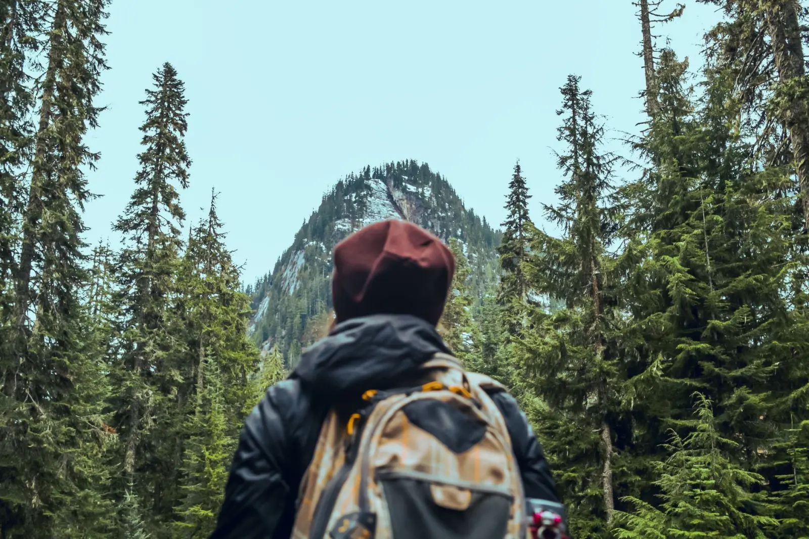
Mount Nebo’s forest trails sit at an elevation where the landscape shifts between open ridgeline and dense pine woodland. I’ve walked these paths in different seasons and at different times of day, and what strikes me most is how the experience changes depending on when you arrive and how prepared you actually are for the walking itself. The forest here isn’t a gentle stroll through managed parkland. It’s a working landscape where the terrain demands attention and the conditions – heat, shade, loose stone – create their own rhythm.
The approach to Mount Nebo typically begins from the town of Madaba, which sits about 30 kilometers south. Most visitors drive to the summit parking area and walk the immediate vicinity around the Moses Memorial Church. But the forest trails branch out from there in ways that most guidebooks understate. The paths themselves are real enough – worn by decades of pilgrims and hikers – but they’re not marked with the kind of signage you’d expect in European forests. You navigate by following the most obvious route, by watching where others have walked, and by paying attention to the terrain itself.
The Physical Demands of the Terrain
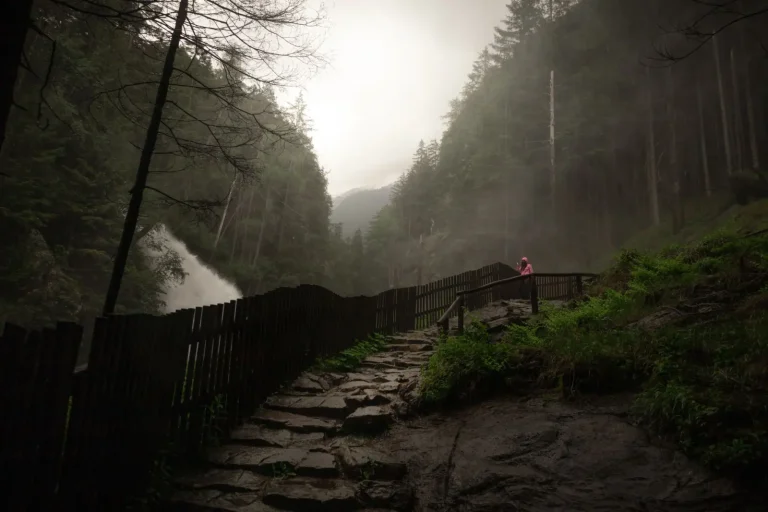
The forest floor on Mount Nebo is composed largely of limestone rubble, compressed earth, and scattered pine needles. This combination creates a surface that’s firm enough to walk on but unstable enough to require constant small adjustments in your footing. Loose stones shift under your weight. The gradient varies – some sections are nearly flat, others climb steeply through switchbacks. The steeper sections are where fatigue becomes real. Your legs feel it after 45 minutes of continuous climbing, and by the time you’ve been walking for two hours, the descent becomes harder on your knees than the ascent was on your lungs.
The pine forest provides shade, which is genuinely valuable. In summer, temperatures at the summit can reach 28 – 30 degrees Celsius, but under the canopy they’re typically 4 – 6 degrees cooler. That difference matters. What doesn’t help is that the shade also traps humidity and reduces air circulation. You sweat more than you might expect, and the moisture doesn’t evaporate as quickly as it would in open sun. This is why water consumption is higher on these trails than on exposed ridgelines at similar elevations elsewhere in the region.
Water, Heat, and Timing
I’ve seen visitors arrive with a single 500-milliliter bottle of water, assuming the short distance and forest shade mean they won’t need much. That assumption fails around the one-hour mark. A realistic walk through the forest and back takes between two and three hours depending on your pace and how far you venture from the main paths. For that duration, you need at least two liters of water per person, more if you’re walking during midday hours or if you’re not accustomed to the elevation.
The timing of your walk matters significantly. Early morning – before 8:00 AM – is when the forest is coolest and the light is manageable. The sun is lower, shadows are longer, and the air still holds some of the night’s coolness. By 10:00 AM, the temperature has risen noticeably. By noon, the heat becomes a factor even under the trees. Late afternoon walks, after 4:00 PM, can work, but you’re then racing against dusk. The forest darkens quickly once the sun drops below the ridge, and navigating the rocky terrain becomes genuinely difficult without a headlamp.
Navigation and the Risk of Wrong Turns
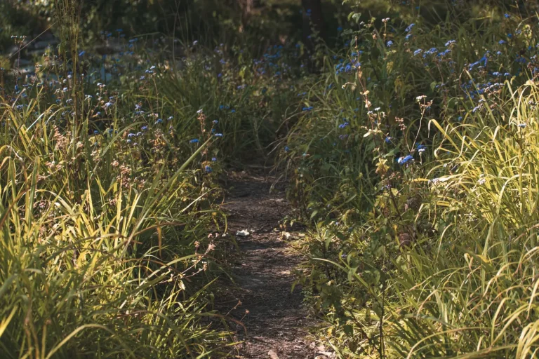
The paths fork occasionally. Some forks are obvious – a clear trail branches left or right. Others are subtle. A deer trail or a washed-out section can look like a legitimate hiking path if you’re not paying attention. I’ve watched groups split up at these junctions, each convinced they had the right route. Usually, the main path is the one that shows the most foot traffic and the most worn stone. But “most worn” isn’t always obvious when you’re tired and focused on your footing.
The forest canopy is thick enough that landmarks are limited. You can’t navigate by distant peaks or landmarks the way you can on open terrain. This is where a GPS unit or a smartphone with offline maps becomes genuinely useful, not just convenient. The paths do loop back to known points – you won’t get permanently lost – but you can easily add 30 or 45 minutes to your walk by taking a wrong turn and then backtracking.
Seasonal and Weather Variations
Winter on Mount Nebo brings rain and occasional frost. The limestone becomes slippery when wet, and the temperature drops to around 5 – 8 degrees Celsius at the summit. The forest offers less protection from wind than you might expect. Spring is generally the best season – temperatures are moderate, rainfall is decreasing, and the vegetation is green. Summer brings heat and occasional dust storms that reduce visibility. Autumn is similar to spring, though the vegetation is drier.
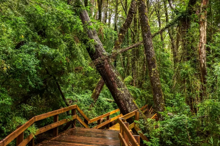
After heavy rain, the paths can become waterlogged in low sections. Drainage is poor in some areas because of the underlying limestone. You’ll encounter muddy patches and small streams crossing the trail. This isn’t dangerous, but it slows you down and requires more careful footing. Proper footwear matters more after rain than it does in dry conditions. Trail runners or lightweight hiking boots with good grip are preferable to street shoes or sandals.
The forest itself changes subtly through the year. In spring, wildflowers appear between the trees. In summer, the undergrowth is thick and dry. In autumn, pine cones litter the ground. These aren’t obstacles, but they do affect how the trail feels and how your body responds to walking it. The same path walked in April feels different from the same path walked in August.
After multiple walks through these forests, what becomes clear is that Mount Nebo’s trails reward preparation and attention more than they reward speed or fitness. The physical demands are moderate – most people in reasonable health can complete the walk without struggle. What catches people off guard is the combination of factors: the heat under the trees, the uneven footing, the lack of clear signage, and the time it actually takes. Bring water, start early, wear proper shoes, and pay attention to where you’re walking. The forest itself is straightforward enough once you accept that it’s not a manicured park path.