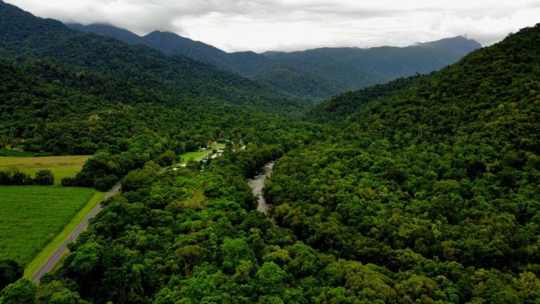
Wooroonooran sits in the Atherton Tablelands of north Queensland, and it’s one of those places where the landscape looks deceptively straightforward on a map. You see the blue lines marking creeks and rivers, the contour lines showing the gorges, and it seems manageable. Then you get there and realize the terrain has its own logic – one that doesn’t always align with what you expected from a distance.
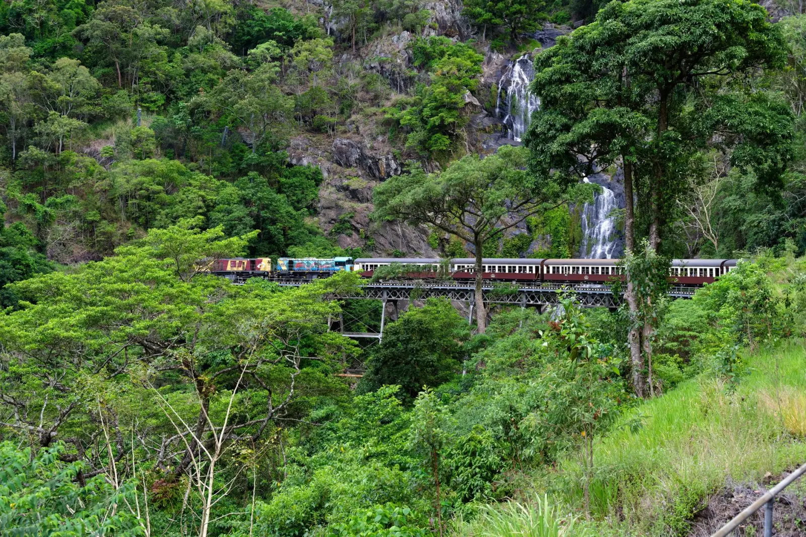
The park contains three main waterfall systems: Stony Creek, Tully Falls, and Elabana Falls. Each one sits in its own gorge, and each one demands something different from you. I’ve walked through here in the wet season and the dry, and the difference isn’t just about water flow. It’s about access, safety, and how the landscape physically behaves under different conditions.
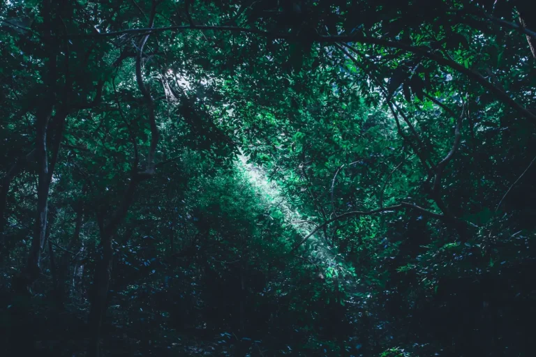
What strikes most people on arrival is how dense the vegetation becomes once you drop into the gorge country. The open tablelands give way to subtropical rainforest almost immediately. The canopy closes in, the light changes, and suddenly you’re navigating by sound and the feel of the track underfoot rather than by sight. This isn’t a minor detail. It affects how you move, how you pace yourself, and how quickly fatigue sets in.
The Stony Creek System
Stony Creek is the most accessible entry point for most visitors. The walk down sits at around 2.5 kilometers one way, and the elevation loss is gradual enough that most people with basic fitness manage it without drama. What matters more than the distance is the creek crossing itself. During dry periods, this is straightforward. You step across rocks, maybe get your feet wet, and move on. In the wet season or after heavy rain, Stony Creek becomes a genuine obstacle. The water rises fast, the rocks become slippery, and the current develops real force.
I’ve watched experienced walkers make poor decisions here. The temptation to push through when the water is higher than ideal stems from having come this far, from the sunk cost of the walk down. But creek crossings in gorge country aren’t forgiving. The rocks are smooth, the water is cold, and if you slip, you’re being pushed downstream into a narrower section where escape options vanish quickly. The practical reality is that if the water is above your knees and moving visibly, turning back isn’t failure – it’s the only sensible choice.
The waterfall itself sits in a pool that’s deep enough to swim in during the wetter months. The rock formations around it create natural barriers and viewing points, but they’re also uneven and prone to algae growth. Footwear with grip matters here more than people assume. I’ve seen people attempt this walk in runners that looked fine on the tablelands but offered almost no traction on wet rock. By the time they reach the pool, they’re moving carefully, tentatively, and burning energy on balance rather than enjoying the walk.
Tully Falls and the Longer Commitment
Tully Falls requires more planning. The walk is longer – roughly 5 kilometers return – and the descent is steeper than Stony Creek. The track itself is well-maintained in most sections, but there are points where it narrows and the drop-off becomes significant. This isn’t a scramble or a technical climb, but it’s not a casual stroll either. The gradient and the terrain demand attention.
What often catches people out at Tully is the return journey. The walk down feels manageable because gravity helps. The walk back up is a different proposition entirely. The elevation gain is real, the humidity in the gorge is substantial, and by the time you’re climbing back toward the plateau, fatigue has usually set in. I’ve seen fit people underestimate this section and end up struggling in the final kilometer. The track doesn’t get steeper at the end – your legs just have less left to give.
The falls themselves are impressive, particularly in the wet season when the water volume is high. The gorge narrows significantly at this point, and the sound of the water echoes off the rock walls. It’s one of those places where the scale of the landscape becomes apparent only when you’re standing in it. Photography here is tempting, but the rocks around the pool are genuinely slippery, and the urge to get the perfect shot has led to injuries before.
Elabana Falls: The Least Predictable Option
Elabana Falls sits on the eastern side of the park and involves a different approach entirely. The walk to the falls is shorter than Tully, but the terrain is more variable. The track passes through sections of open forest, then dense rainforest, then opens again. This variation in vegetation and light makes it harder to settle into a rhythm. Your eyes and legs are constantly adjusting to different conditions.
The creek that feeds Elabana Falls is smaller than Stony or Tully, which means it’s more responsive to rainfall. A creek that was crossable yesterday might be impassable today. The water here is also colder – it drops from a higher elevation and doesn’t warm as much in the gorge. I’ve noticed that people tend to underestimate how cold it is and how quickly immersion affects decision-making. If you slip and end up in the water, the shock of the temperature can trigger panic responses before your brain has time to assess the actual danger.
The falls themselves are smaller than the other two systems, but the gorge around them is narrow and dramatic. The rock walls rise steeply, and the pool below the falls is deep and clear. It’s a beautiful spot, but it’s also a place where the environment feels less forgiving. The narrowness of the gorge means less escape route if something goes wrong, and the water moves with more force than its volume might suggest.
Practical Realities Across All Systems
Timing matters profoundly in gorge country. The difference between walking these systems in early morning and mid-afternoon is substantial. Early morning, the rock is drier, the light is better for footing, and you’re fresher. By mid-afternoon, the sun has warmed the rock and increased evaporation, but more importantly, you’re tired. Fatigue is the primary cause of slips and poor decision-making at water crossings. I’ve never seen someone have a serious incident when they started early and maintained a steady pace. I’ve seen several when people were pushing through in the late afternoon.
Footwear is worth dwelling on because it’s so often overlooked. The rock in these gorges is smooth and often covered with a thin film of algae or moss. Conventional hiking boots with aggressive tread patterns can actually work against you – the tread catches on the rock and can cause your foot to stick when you’re trying to adjust balance. Shoes with a flatter sole and finer grip pattern tend to perform better. This isn’t intuitive, and I’ve watched people with expensive boots struggle while someone in basic trail runners moved confidently.
Water levels are the governing factor for all three systems. During the dry season (roughly May to September), all three are accessible and relatively straightforward. During the wet season (December to March), conditions change rapidly. A heavy rain event can make creeks impassable within hours. The park doesn’t always close officially, but that doesn’t mean the conditions are safe. I’ve learned to check not just the current weather but the rainfall from the previous 48 hours. That’s what determines whether a creek is going to be crossable, not the forecast.
The rainforest environment itself presents challenges that aren’t immediately obvious. The humidity is high, which means sweat doesn’t evaporate effectively. This makes cooling difficult and dehydration sneaks up faster than it would in drier environments. The canopy blocks most direct sunlight, so you don’t get the usual cues that you’re overheating. People tend to drink less than they should in gorge country because they don’t feel as thirsty. By the time thirst becomes obvious, you’re already running behind on hydration.
Wildlife is present but rarely encountered. Cassowaries move through the area, and while they’re generally avoidant of humans, the gorges are their territory. Snakes are around, though they’re not aggressive. The real concern is leeches during the wet season. They’re not dangerous, but they’re persistent and mildly distressing if you’re not expecting them. Long sleeves and socks tucked into pants help, but the most effective strategy is simply accepting that you might get a few attached and removing them calmly once you’re out of the gorge.
Navigation is straightforward on the main tracks, but the gorges can feel disorienting. The walls close in, the light is diffuse, and the sound of water echoes in ways that make direction harder to judge. I’ve never seen someone genuinely lost here, but I’ve seen people become uncertain about which way they came or how far they’ve actually traveled. Marking your route mentally – noting distinctive rock formations or vegetation – helps more than you’d expect. GPS works in the gorges, but the signal can be patchy under the dense canopy.
The experience of Wooroonooran’s gorges isn’t about conquering them or collecting them as achievements. It’s about moving through a landscape that operates on its own terms and respecting those terms. The waterfalls are genuinely beautiful, but they’re secondary to the actual work of being in that environment safely and sustainably. Most people who come here and take their time, pay attention to conditions, and move at a pace that allows for careful footing leave with a clear sense of what the place actually demands and why those demands exist.