The Atherton Tablelands rainforest sits at around 600 to 900 metres elevation in far north Queensland, and it behaves differently from the coastal rainforests most people encounter. The air is cooler, the canopy denser in places, and the walking experience has a particular rhythm that takes a few visits to understand. I’ve walked these trails in every season, and the variation matters more than most guides suggest.
What strikes most visitors is how quickly the landscape changes across the region. You might walk through open eucalypt woodland one moment and step into closed-canopy rainforest the next. The soil changes too – from red laterite to black volcanic earth. This isn’t just scenery variation; it affects how the trails feel underfoot, how slippery they become after rain, and how quickly you’ll tire.
The wet season, roughly December to March, transforms these walks entirely. Creeks that are ankle-deep in winter become serious obstacles. The humidity sits above 80 percent most days, and the canopy drips for hours after rain stops. People often underestimate this. A walk that takes 90 minutes in June might take two hours in February, not because the trail is longer but because your pace drops, your shoes lose grip, and the physical demand increases.
Crater Lake and the Volcanic Landscape
Crater Lake near Herberton is one of the most-walked trails in the region, and for practical reasons it deserves that reputation. The loop is roughly 2.5 kilometres and sits at the lower end of difficulty. What works here is the consistency – the trail is well-maintained, the elevation change is modest, and the water feature provides a clear destination point.
The walk circles a volcanic crater lake surrounded by rainforest. The water itself is dark and still, and the reflection of the canopy creates that postcard effect people expect. But the real value is in how the trail demonstrates the volcanic geology that underpins the entire tablelands. The crater walls are obvious, the soil composition changes as you descend and ascend, and if you’re paying attention, you start to understand why this region supports such dense forest growth.
Timing matters here. Early morning – before 8 AM – means fewer people and better light filtering through the canopy. By mid-morning, the car park fills, and the trail becomes a social experience rather than a solitary one. The walk takes about 45 minutes at a steady pace, though most people spend longer sitting by the lake. The track is muddy after rain, but it’s never treacherous. The real hazard is overconfidence – people slip on wet sections because they’re not concentrating.
Zillie Falls and the Longer Circuit
Zillie Falls sits near Millaa Millaa and offers something different. The main walk to the falls is short – about 20 minutes each way through dense rainforest – but the surrounding area has several interconnected trails that allow you to build a longer experience if you want it. The falls themselves drop into a pool that’s actually swimmable, though the water is cold year-round.
What I’ve observed over many visits is that people either rush to the falls and leave, or they use it as a base to explore the broader trail network. The second approach reveals more. The rainforest here is particularly tall and closed-canopy, which means the light levels are low even at midday. You’re walking in perpetual dusk, which sounds atmospheric but also means your eyes need time to adjust, and the camera phone shots rarely capture what you’re actually seeing.
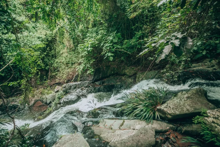
The creek crossings can be significant after heavy rain. In the wet season, the water moves fast and the rocks become slippery. I’ve seen people turn back here, which is the right call. The trail itself is well-graded, but the creek is the limiting factor. In drier months, it’s straightforward. The walk is popular, so the trail is packed down and easy to follow. Crowds do thin out if you venture onto the secondary loops that branch off from the main circuit.
Dinner Falls and the Harder Option
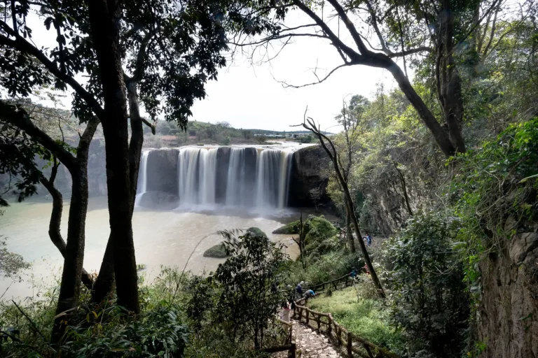
Dinner Falls, accessed near Malanda, is steeper and longer than the previous two. The walk is about 4 kilometres return, with significant elevation change. The falls are impressive – a proper cascade into a deep pool – and the rainforest here feels more remote, though you’re never far from the car park.
This trail shows wear patterns that tell you something about visitor behaviour. The main track is heavily used, but most people don’t venture onto the secondary paths that lead to alternative viewpoints. The descent to the falls is steep and can be slippery. The ascent back out is where people feel the fatigue. I’ve watched fit walkers underestimate this section and struggle on the way up. The elevation gain is around 150 metres over a relatively short distance, which sounds minor until you’re doing it in humidity and heat.
The water feature here is the real draw. The falls create a mist zone at the base, which keeps the air cool and damp. The rocks around the pool are slippery even when they look dry. Swimming is possible but requires care. The pool is deep enough that you can’t see the bottom clearly, which deters some people. The trail is shadiest in the early morning and late afternoon. Midday visits mean you’re walking in full sun for sections, which is uncomfortable in summer.
The Smaller Walks Worth Knowing About
Mobo Crater and Lake Tinaroo offer quieter alternatives. Mobo is a short walk – maybe 30 minutes – that loops around another volcanic crater. It’s less visited than Crater Lake, which means you get the same geological story with fewer people. The trail is narrower and feels more intimate. The crater here is deeper, and the forest seems to press in more closely.
Lake Tinaroo has a longer walking circuit around the perimeter, though most people only do sections of it. The lake is large and the views change as you move around it. The eastern side has better forest, while the western side is more open. The walk is flat, which appeals to people who want distance without elevation. It’s also less forested in places, so sun exposure is higher. This matters in summer.
Both of these walks are worth doing if you want to experience the region without the crowds. They’re not dramatically different from the main attractions, but they offer a different pace and a sense of having found something less obvious.
Seasonal Realities and Practical Constraints
The dry season, May to September, is when these walks are most accessible. The trails are firmer, the creeks are lower, and the humidity is manageable. Temperatures range from cool in the morning to warm by midday. This is when you can actually walk at a normal pace without feeling like you’re moving through soup.
The shoulder seasons – April and October – are unpredictable. You might get perfect conditions or you might hit a rain event that turns the trails into slippery channels. I’ve done walks in April that felt like the dry season and others that felt like the wet season. Weather here changes fast.
Winter, June to August, is genuinely cool at this elevation. Morning temperatures can drop to 10 degrees Celsius. Most people underestimate this and arrive in summer clothing. A light layer actually makes the walks more comfortable. The canopy is so dense that direct sun is rare, so you don’t warm up as quickly as you expect.
Footwear matters more than people assume. Runners with good tread are fine for dry conditions, but after rain, proper hiking boots with aggressive soles make a real difference. I’ve watched people in smooth-soled shoes slip repeatedly on sections that are perfectly manageable with the right footwear. The mud here is slippery, not just wet.
Most of these walks don’t require special fitness, but they do require realistic expectations about pace. The elevation changes are modest, but the terrain is uneven and the footing is often uncertain. Younger walkers tend to go faster and tire less. Older walkers often move more carefully and actually enjoy the experience more because they’re not rushing. There’s no right speed – just your speed.