The forest around Natural Bridge has a particular character that doesn’t announce itself immediately. You notice it after you’ve walked the same routes a few times, or when you step off the main path and realize how quickly the landscape shifts. The area sits in a transition zone where different forest types overlap, and that creates both opportunity and confusion for anyone spending real time there.
Most people come for the bridge itself – the geological feature that gives the place its name. They walk the established trail, take photographs, and leave within a couple of hours. That’s a legitimate visit, but it misses what the surrounding forest actually offers. The deeper exploration happens when you understand the terrain’s basic structure and what changes throughout the year.
How the Forest Actually Breaks Down
The immediate area around Natural Bridge tends to be denser than you’d expect from a distance. The canopy closes in quickly once you move away from the main clearing, and the understory fills with a mix of younger hardwoods and persistent brush. This density serves a purpose – it stabilizes the soil on slopes and creates microclimates that shift noticeably even within short distances.
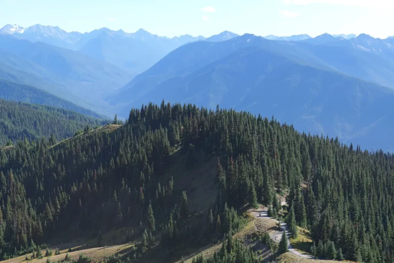
Further out, the forest opens into more mature growth with better spacing between trees. This is where navigation becomes more straightforward, but also where you can lose your bearings more easily because landmarks become less distinct. The older growth also means less undergrowth to follow, which sounds convenient until you realize you’re walking through a landscape with fewer visual cues about which direction you’ve come from.
The transition between these zones isn’t clean. You’ll move through areas where the forest composition changes several times over a single mile, depending on aspect, elevation, and past disturbance. Sections that faced heavy logging decades ago have regrown differently than areas left untouched. This patchwork is worth noticing because it affects how you move through the space and how long routes actually take.
Seasonal Shifts in Walkability
Spring brings water. The forest floor becomes genuinely wet in places where summer shows only dark soil. Small creeks appear and disappear depending on recent rainfall. If you’re exploring in early spring or after heavy rain, expect your footing to be compromised on slopes and in drainage areas. The mud isn’t dramatic, but it slows movement and increases fatigue more than people typically anticipate.
Summer dries things out, but the heat and humidity create their own constraints. The canopy is full, which keeps things cooler than open areas, but the air feels heavier. Insect pressure increases noticeably, particularly in areas near water. The established trails get more foot traffic, which means they’re more obvious but also more worn and sometimes eroded. Off-trail walking becomes easier in terms of ground conditions but harder in terms of visibility through the vegetation.
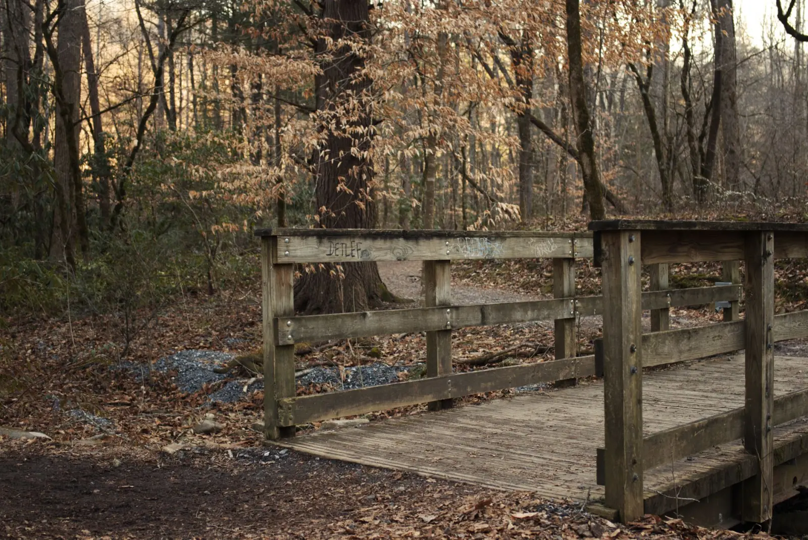
Fall is often cited as ideal, and there’s truth to that, but it comes with reduced light hours and the reality that fallen leaves obscure rocks and roots. You move faster in cool temperatures and clear weather, but your risk of catching a foot on something hidden increases. The forest floor becomes less stable than it appears.
Winter transforms the space entirely. If snow falls and stays, the forest becomes navigable in different ways – the white ground provides contrast that actually helps with route-finding in some cases. But the cold itself becomes the limiting factor. Exposure time matters more, and the margin for error shrinks. Most people simply don’t explore deeply in winter, which is a reasonable choice but also means the winter forest remains less known.
Navigation and Route-Finding Reality
The established trails around Natural Bridge are generally well-marked and maintained. Following them is straightforward. The challenge emerges when you want to explore beyond those paths or when you’re trying to understand the broader forest structure.
GPS works, but it’s not a substitute for understanding the terrain. A GPS unit will show you where you are, but it won’t tell you whether the slope ahead is walkable or whether you’re moving toward denser forest or more open ground. Map reading matters here, particularly understanding contour lines and how they predict what you’ll encounter. Streams shown on maps are real, but they’re not always obvious on the ground, and water flow changes seasonally.
The forest has natural lines of travel – ridges, stream valleys, areas of easier walking. Learning to read these takes time. You notice that certain slopes are consistently more open, that water tends to run in predictable patterns, that some areas feel like travel corridors while others feel like dead ends. This knowledge comes from repeated exposure, not from any single visit.
What Tends to Go Wrong
People underestimate distance and time. A route that looks straightforward on a map often takes longer than expected because the terrain is more complex than it appears from above. Elevation gain isn’t dramatic in this region, but it’s consistent, and fatigue accumulates.
Visibility assumptions fail. The forest can feel open in one direction and closed in another. You might assume you can see a distant landmark to navigate by, then find that the vegetation blocks your view once you’re actually moving through the space. This is why having a clear idea of your route before you start matters more than trying to navigate by landmarks alone.
Weather changes quickly in forested terrain. Conditions that seem stable can shift within an hour. Wind, rain, or temperature drops feel more pronounced under a closed canopy because you lose the ability to see what’s coming. Starting a route with a clear sky doesn’t guarantee you’ll have clear conditions for the entire walk.
What Makes the Exploration Worthwhile
Beyond the main attraction, the forest itself has texture and variation that rewards attention. The older growth sections have a different feel – quieter, with more space to move and think. Smaller creeks and clearings exist that most visitors never encounter. The wildlife sign is often subtle but present: deer trails that are more obvious once you know what to look for, evidence of past beaver activity, bird communities that shift with elevation and forest type.
The forest also shows its history. You’ll find old growth mixed with regrowth, evidence of past fires or storms, areas where human use has left marks. Reading that history adds dimension to what you’re seeing. It’s not just a generic forest – it’s a specific place with a specific past.
For anyone willing to spend multiple visits and move slowly enough to notice details, the forest around Natural Bridge offers something beyond the main geological feature. It requires patience, basic navigation skills, and realistic expectations about pace and conditions. It’s not a destination that rewards rushing, and it doesn’t reveal itself in a single afternoon. But for people who explore forests regularly, it’s the kind of place that becomes more interesting the more you walk it.