The rainforest country straddling the Queensland-New South Wales border is genuinely remarkable, but it operates under conditions that most travel writing glosses over. I’ve spent considerable time in these forests, and what strikes me most is the gap between how they’re described and what you actually encounter on the ground. The region contains some of Australia’s oldest subtropical and temperate rainforest, but accessing it well requires understanding the landscape’s particular constraints.
The border region’s rainforests exist because of specific geography. Warm, moist air from the Coral Sea collides with elevated terrain, creating the rainfall these forests need. This same geography that creates the rainforest also creates the conditions that make movement through it demanding. Steep slopes, dense understory, and high humidity are not incidental features – they’re the reason the forest exists at all. When you’re planning time in these areas, you’re planning around terrain that hasn’t been flattened or simplified for convenience.
The Lamington Plateau and Surrounding Country
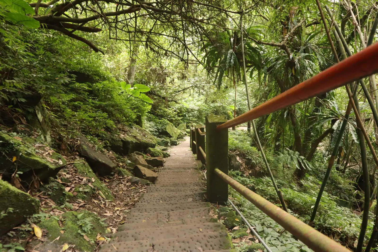
Lamington National Park sits firmly on the Queensland side but represents the type of rainforest experience you’ll find throughout the border region. The plateau rises to around 1,000 metres, and the temperature differential between the coast and the heights is significant enough to matter for what you pack and how you feel walking. The established trails here – Box Log Falls, Bellbird Lookout, the Border Track – are well-maintained, but “well-maintained” in rainforest terms means cleared of major obstacles, not smooth or easy. Roots dominate the walking surface. Moisture is constant. The air feels heavy even on dry days.
What I’ve observed repeatedly is that visitors underestimate the physical demand. The grades aren’t extreme, but the combination of uneven footing, humidity, and the sheer density of the environment wears on people faster than similar elevation gains elsewhere. A 10-kilometre walk here feels notably different from 10 kilometres on open terrain. Plan for slower progress than you might expect, and build in rest time without treating it as failure. The forest demands a different pace.
Access to Lamington is straightforward from the Gold Coast hinterland, roughly 45 minutes from the coast. The park has accommodation ranging from basic camping to lodge options. If you’re moving between Queensland and New South Wales, Lamington works as a logical stopping point, though it’s worth noting that the park’s popularity means trails can feel crowded during school holidays and weekends. Early starts matter if you want solitude.
Moving South: The Nightcap and Minyon Ranges
Cross into New South Wales and the character shifts slightly. Nightcap National Park, inland from Byron Bay, contains some of the most intact subtropical rainforest in the region. The Minyon Brush, further south, represents a different rainforest type – cool temperate, at higher elevation, with different vegetation and a noticeably different feel underfoot. Both areas are less crowded than Lamington, which has practical implications. Trails are sometimes less formally maintained, and navigation requires more attention.
The Nightcap area contains the Minyon Falls walk, which descends into a deep rainforest gully. The descent is steep enough that you feel it in your knees on the way down and your thighs on the way up. The waterfall itself is substantial, but what stays with me is the temperature drop as you descend into the gully – the forest canopy is so dense that the air temperature noticeably cools. This isn’t a minor detail. It affects what you wear and how you manage layers. Many people arrive dressed for the temperature at the carpark and find themselves underdressed or overdressed as they move through different forest zones.
Minyon Brush, further south near the NSW-Queensland border, sits at higher elevation and contains Antarctic beech trees – living fossils from when Australia’s climate was vastly different. The walk here is shorter and less demanding than Nightcap, but the forest itself feels older and more isolated. There’s less infrastructure, fewer people, and a genuine sense of moving through something untouched. This comes with trade-offs. Mobile coverage is unreliable. The nearest services are further away. Weather can change rapidly at elevation. These aren’t obstacles if you’re prepared for them, but they’re worth acknowledging upfront.
Practical Realities of Border Region Rainforest
Water management is critical in these forests. Yes, there’s water everywhere – streams, waterfalls, moisture in the air – but carrying enough drinking water matters. The water you see isn’t necessarily safe to drink without treatment. Leech season runs roughly October through May, peaking in warmer months. Leeches are not dangerous, but they’re persistent and unpleasant. Salt or insect repellent helps, but the most effective approach is acceptance and quick removal once you notice them. Letting them worry you ruins the experience more than the leeches themselves do.
Timing your visit involves trade-offs. Dry season (roughly June through September) offers better walking conditions and fewer leeches, but the forest is less lush and water features can be reduced. Wet season brings the forest alive – everything is greener, waterfalls are powerful – but trails become slippery, humidity is extreme, and leeches are abundant. There’s no objectively “best” time. It depends on what you prioritize and what you’re willing to tolerate.
Getting between Queensland and New South Wales in this region requires some planning. The border isn’t a clean line with easy crossings. You’re often driving significant distances to move between areas on different sides. Murwillumbah and Lismore on the NSW side serve as bases for exploring southern rainforest areas. The Gold Coast hinterland towns serve the same function for Queensland. Building a multi-day itinerary that minimizes backtracking requires looking at a map and thinking through logistics rather than just following a list of “must-see” spots.
What Makes These Forests Worth the Effort
After accounting for the physical demands, the humidity, the leeches, and the logistics, why spend time here? The answer is that these rainforests contain species and ecosystems found nowhere else on Earth. The subtropical rainforest of the border region is a biodiversity hotspot. You’ll see birds, insects, and plants that exist in these specific forests and essentially nowhere else. The experience of walking through a forest that has existed in similar form for millions of years – that predates the existence of most other landscapes you know – carries weight that photographs don’t convey.
The forest also operates on a different temporal scale than most travel experiences. You can’t rush through it. The pace of discovery is slow. You notice things gradually – a particular bird call, the texture of bark, the specific green of the light filtered through the canopy. This slowness is actually the point, though it’s easy to miss if you’re moving through with a checklist mentality.
The Queensland-NSW border rainforests aren’t destinations that work well for quick visits or for people seeking convenience. They reward patience, physical preparation, and genuine interest in what they contain. They’re also not particularly crowded once you move away from the most famous spots. That combination – genuine ecological significance combined with relative accessibility and lower visitor pressure – makes this region worth the practical complications involved in exploring it properly.