
The Conondale Range sits in southeast Queensland as a genuine subtropical rainforest, not the manicured walking experience many people expect when they arrive. I’ve spent enough time moving through these forests to know where the difficulty lies, and it’s rarely where first-time visitors anticipate it. The terrain itself isn’t extreme – elevation gain is moderate, the highest points sit around 700 metres – but the forest environment creates a set of constraints that compound quickly if you’re not accounting for them properly.
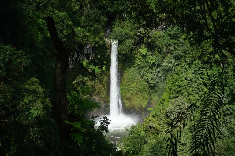
What strikes most people first is the density. The canopy closes overhead almost immediately once you leave the car park, and the light levels drop noticeably. This isn’t a sparse eucalypt woodland where you can see ahead for hundreds of metres. The subtropical vegetation here grows thick, layered, and often wet. Even on days when it hasn’t rained recently, the air holds moisture and the leaf litter stays damp. This affects everything: your footing, your pace, your ability to navigate by sight, and how quickly you fatigue.
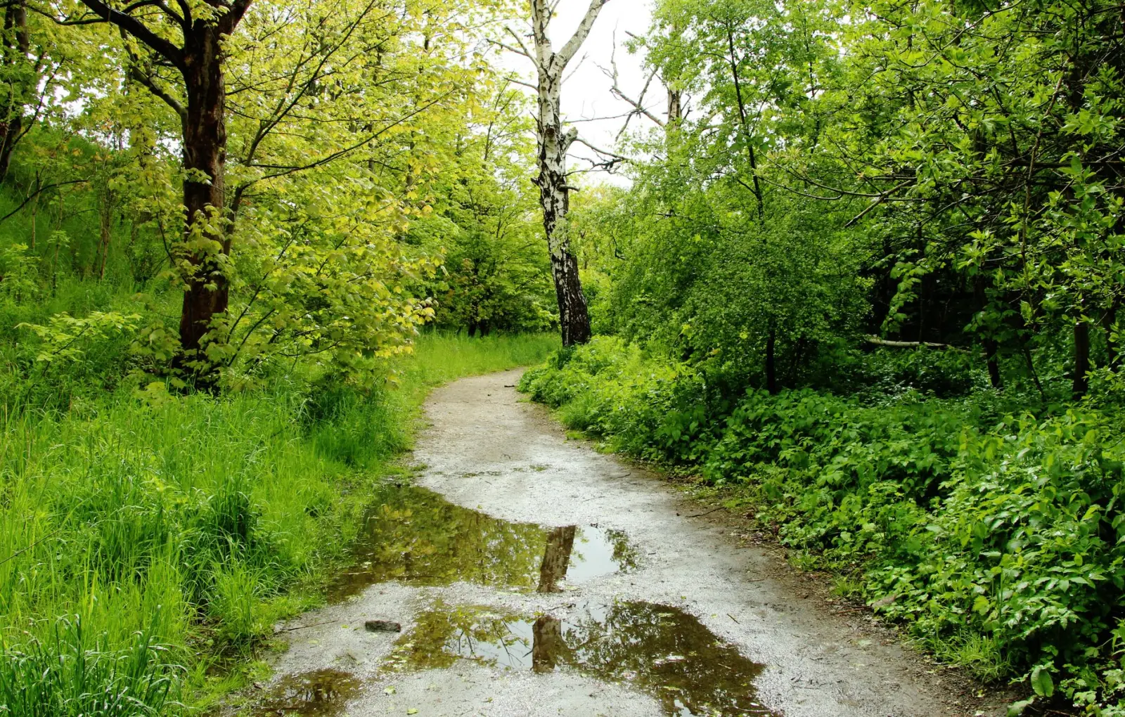
The actual walking surface varies considerably depending on which trail you’re on and what time of year you’re moving through. Some sections have been deliberately maintained – there are wooden steps in steeper areas, and the main routes are reasonably clear. Other sections, particularly the less-trafficked spurs and ridge walks, become a matter of reading the ground and following where previous walkers have worn a line through the vegetation. After rain, even the maintained sections can be slick, and the unmaintained sections turn into genuine mud.
Seasonal Shifts and What They Mean
Winter and spring offer the most comfortable conditions. The humidity drops noticeably between June and September, and the temperature stays cool enough that you’re not fighting heat fatigue on top of everything else. The forest is still wet – it’s a rainforest – but it’s a different kind of wet. Winter rain tends to be lighter and more intermittent. You can move through the forest and actually dry out between sections.
Summer is a different proposition entirely. December through February, the heat and humidity combine in ways that make steady progress harder work than the elevation alone would suggest. The forest doesn’t cool down much even in shade, and the moisture in the air means you’re sweating without the cooling effect of evaporation. People often misjudge their pace in summer conditions. A walk that felt manageable in spring suddenly feels much longer when you’re moving through that heat and humidity. Water consumption goes up significantly, and fatigue accumulates faster.
Autumn and early winter, just before the really dry season sets in, can be deceptive. The forest looks drier on the surface, but the ground underneath is still saturated from earlier rain. You get sections where the walking surface appears firm but gives way underfoot. I’ve seen people turn ankles in these conditions more often than in obviously muddy sections, because they’re not expecting the instability.
Navigation and Where It Gets Genuinely Confusing
The main trails are marked and reasonably obvious if you’re paying attention. But the Conondale Range has a network of secondary tracks and ridge walks that can become ambiguous quickly. The forest floor accumulates fallen branches and debris, and what looks like a clear path can peter out into dense scrub. Occasionally you’ll be following what seems like an established track only to realise you’re on a wallaby trail or a section that’s been abandoned to regrowth.
The ridge walks are where navigation demands the most attention. When you’re moving along a ridge in dense forest, you can’t see the broader landscape to orient yourself. You’re relying on the track itself, and if that becomes unclear, it’s easy to drift off-line. I’ve encountered walkers who’ve spent extra time in the forest simply because they’ve drifted a few degrees off the ridge and then spent time figuring out where they actually were. It’s not dangerous if you have a map and compass or a GPS device, but it’s frustrating and it eats into your time.
The creek systems that run through the range can be useful navigation aids, but they can also be misleading. Creeks do run downhill, and following one will eventually get you out of the range, but the path beside a creek isn’t always the same as the marked trail. I’ve seen walkers follow a creek for a considerable distance only to realise they’ve drifted away from where they intended to be. The creeks also flood quickly during heavy rain, which can make them impassable or dangerous to cross.
Physical Demands and Pacing Reality
The elevation gain across most Conondale walks is manageable, but the terrain itself creates resistance that doesn’t show up in elevation profiles. The ground is uneven, often slick, and requires constant attention to footing. You can’t develop a rhythm the way you might on a well-formed trail elsewhere. This means you’re using more energy per kilometre than the distance alone would suggest. People often arrive expecting to cover a certain distance in a certain time, based on their experience with other trails, and then find themselves moving considerably slower.
The humidity and temperature, particularly in warmer months, add a layer of fatigue that’s separate from the physical exertion. Your body is working harder to regulate temperature, and you’re losing fluids faster. I’ve seen walkers who are fit and experienced in other environments struggle more than expected simply because they haven’t accounted for this additional physiological demand.
The forest canopy also means you’re not getting direct sun exposure, which can make it easier to underestimate how much time has passed and how far you’ve actually come. Without clear landmarks or views to mark progress, the walk can feel longer than it actually is. This psychological element combines with the physical demands to create a cumulative fatigue that catches people off guard.
What the Forest Requires
Water is non-negotiable. The creeks run year-round, but relying on finding water along the trail rather than carrying it is a gamble. In drier periods, some of the smaller creeks can be difficult to locate, and the water quality varies. Carrying sufficient water means you’re not dependent on finding it, and you can move at your own pace without stopping to search.
Footwear matters more than people expect. The ground is uneven and often slick. Shoes with good ankle support and grip make a genuine difference in both comfort and safety. I’ve seen walkers in inappropriate footwear spend the entire walk concentrating on not turning an ankle, which is exhausting and takes attention away from navigation and pacing.
The forest environment means insects are present. Leeches are common in wetter sections, particularly after rain. They’re not dangerous, but they’re persistent, and dealing with them requires patience and acceptance that they’re part of the experience. Mosquitoes can be significant in summer, particularly around creeks and in humid, still sections of the forest. A hat and long sleeves offer practical protection without adding much weight.
A map and compass, or a GPS device, are genuinely useful here. The forest is dense enough that you can lose visual orientation quickly, and having a way to confirm where you are removes a lot of uncertainty. Even experienced walkers benefit from this confirmation, particularly on the less-trafficked sections or when moving through sections where the trail becomes ambiguous.
The Conondale Range rewards walkers who move through it with realistic expectations and proper preparation. It’s not a difficult range by any absolute standard, but it’s a forest that demands attention to detail and respect for the environment. The subtropical rainforest is genuinely beautiful, but it’s also genuinely demanding in ways that aren’t always obvious until you’re actually moving through it.