
Sheepstation Creek runs through country that looks deceptively straightforward on a map but demands respect once you’re actually moving through it. The forest here isn’t dense in the way some people imagine – it’s more a mix of open sections, scattered timber, and dense scrub that appears without warning. After several trips into this area, the patterns become clearer, though the conditions shift enough that you can’t assume one visit will prepare you for the next.
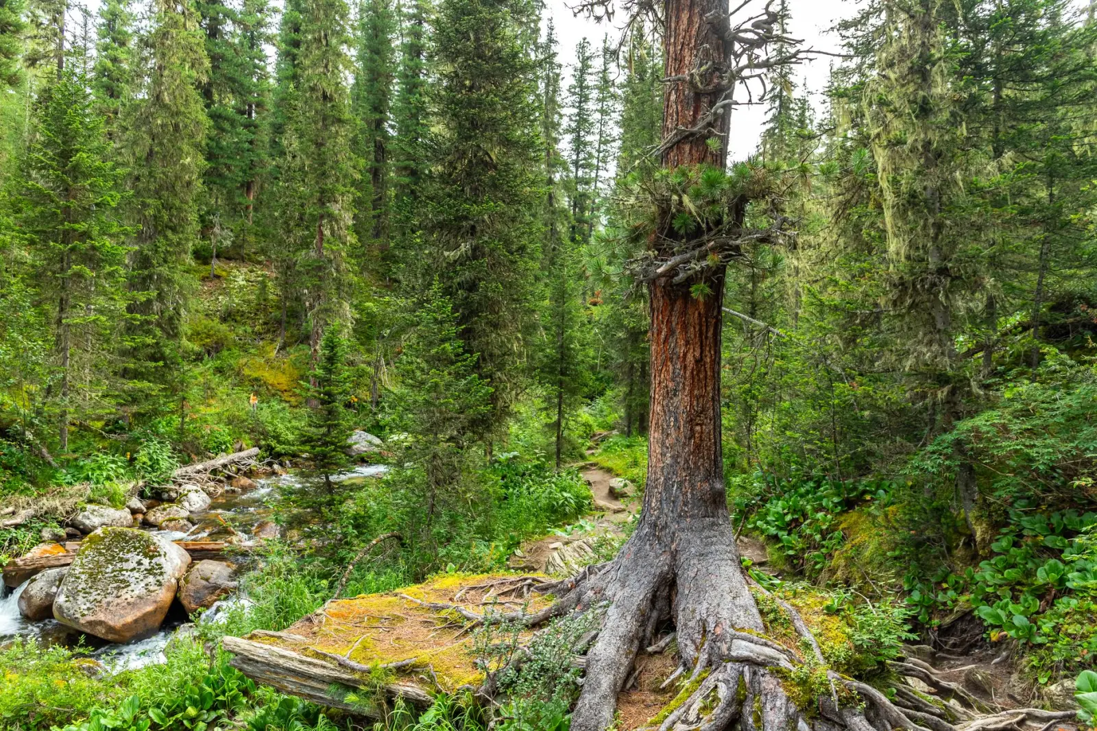
The creek itself is the anchor point for most exploration. It’s not particularly wide, but its behavior changes dramatically depending on recent rainfall. In dry periods, it’s manageable – you can often find rock-hopping options or shallow crossings. After rain, the water rises quickly and becomes silty, which makes judging depth harder than it looks. The current is stronger than the creek’s modest appearance suggests, particularly where it narrows between banks. I’ve watched people underestimate this and end up wading deeper than intended because the bottom is less stable than it appears.
Understanding the Terrain Around the Creek
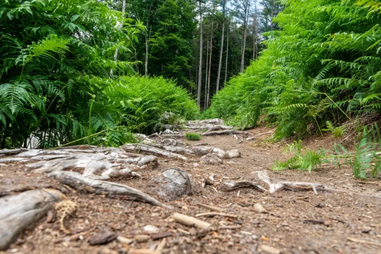
The forest composition shifts as you move away from the water. Closer to the creek, you’ll find willow and alder growth that can be surprisingly thick. Moving back from the immediate banks, the canopy opens up and you get better visibility, but the understory – low scrub, fallen branches, and uneven ground – becomes the real navigation challenge. The forest floor isn’t consistently soft; in some areas it’s rocky and drains well, in others it’s boggy and holds water for days after rain.
Elevation change is gradual but persistent. The ridges flanking the creek valley aren’t steep, but they’re high enough that climbing out of the creek bottom takes real effort, especially if you’re carrying weight. The slopes tend to be more open on the southern aspects, with better footing and less dense vegetation. The northern slopes hold moisture longer and the scrub is thicker, which slows movement considerably. This matters when you’re planning a route – taking the longer way around the south side often saves time despite the extra distance.
Water Crossings and Seasonal Patterns
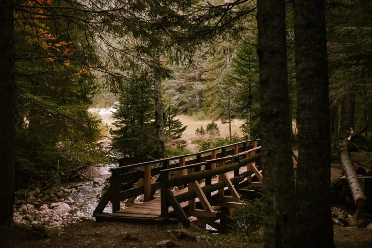
The creek has several natural crossing points, though which ones are viable depends entirely on water level. There’s a wider, shallower section about two kilometers upstream from the main access point where the water spreads across gravel bars. This is the most reliable option during high water, though the gravel can shift and the footing is never certain. Downstream, the creek narrows and deepens, creating a single-point crossing that’s faster in low water but becomes impassable when flow increases.
Spring snowmelt typically makes crossings difficult from late September through November, depending on how much snow accumulated in the higher reaches. By December, the water usually drops to manageable levels. Summer can bring unexpected spikes if there’s heavy rain in the catchment, so it’s worth checking conditions before committing to a route that requires crossing. The water temperature stays cold year-round – cold enough that an unexpected full immersion would be serious, not just uncomfortable.
I’ve found that the best approach to any crossing is to scout it first from the bank, even if you think you know it. The creek bed shifts with each high-water event, and what was a straightforward crossing last month might have a new hole or unstable section. Wearing appropriate footwear matters more than people acknowledge. Bare feet or soft shoes will fail on the slippery rocks; even hiking boots need good tread. I’ve seen people turn back not because the water was too high, but because they couldn’t maintain footing on the creek bed itself.
Navigation and Route Finding
The forest doesn’t have obvious trails in most sections, which means navigation relies on reading the terrain and using the creek as a reference. The creek itself is a useful corridor – it’s a natural line to follow, and it’s nearly impossible to get truly lost if you stick close to it. However, staying in the immediate creek bed isn’t always practical. Dense scrub, fallen trees, and unstable banks force you to move away from the water and navigate through the forest proper.
Contour lines on a map become your main tool here. Following a consistent elevation keeps you from climbing and descending unnecessarily, and it helps you predict what the terrain will look like ahead. The forest canopy is open enough that you can usually see your next 50 to 100 meters, which is enough to pick a route around obstacles. In denser sections, progress slows significantly. What looks like a direct line on the map might involve pushing through scrub that takes twice as long as skirting around it at a slightly higher elevation.
Timing is worth considering seriously. Early morning starts are valuable not just for the extra daylight, but because the forest is easier to navigate when you’re fresh. Fatigue changes how you make route decisions – you start taking shortcuts through dense scrub instead of going around, or you misjudge water crossings because you’re tired. I’ve noticed that the last few hours before dark, people make worse navigation choices, not because they can’t see, but because decision-making deteriorates when you’re tired and the light is failing.
Seasonal Conditions and What to Expect
Winter brings different challenges. The forest floor can be muddy for weeks after rain, and some sections become genuinely boggy. Fallen leaves and branches hide uneven ground, making ankle injuries more likely. The canopy, even though it’s not dense, still drips water long after rain stops. This isn’t a major issue, but it means you stay wetter longer than you might expect. By winter, many of the easier routes become harder simply because the ground conditions deteriorate.
Summer offers the most reliable conditions, though the heat can be surprising in open sections where there’s no shade. The creek becomes more manageable, and the forest is drier underfoot. However, the scrub can be thicker in summer as vegetation grows, and insects become more active. Spring and autumn are transitional – conditions can change rapidly, and weather patterns are less predictable than in the established seasons.
The forest around Sheepstation Creek rewards careful observation and realistic planning. It’s not wilderness in the dramatic sense, but it’s terrain that punishes assumptions and rewards people who move deliberately and adapt to what they find on the ground. The creek itself is the constant – everything else changes based on season, weather, and your own physical state when you’re moving through it.